48a, Flat 2, Osborne Road, Newcastle Upon Tyne, NE2 2AL
About 48a
48a is an end-of-terrace house in Newcastle Upon Tyne (NE2 2AL). It has a recorded floor area of 111 m² (around 1195 sq ft) and construction records dating it to 1900-1929. At 111 m² this is the largest unit on EPC record across 48a (59–111 m²). The building's EPC ratings span D to C, with this unit at the top. On EPC score it ranks first in the building (77 versus a worst of 63). The latest certificate (July 2022) shows a C (score 77), near the top of the C band. The recommended improvements would push it to B (score 83).
One historical planning record sits against the property in 2008.
Know exactly what you're buying at 48a
Before you offer, see what the listing won't tell you, the true value, the red flags and the full history.
Already flagged here
Valuation
against the asking price
Risks
planning & flood
Sold prices
similar homes nearby
Trends
the local market
Energy performance
EPC Rating
Planning history
- Apr 2008AdvertisingIn report
Display of 1 internally illuminated double sided free standing aluminium sign
- Documents
- 4 docs on file
- Reference
- 2008/0277/01/ADV
We flagged 1 thing worth checking at 48a
Independent checks surfaced things a buyer would want to understand before offering. The report explains each one in full, with the underlying data and what to ask.
- Signs of HMO activity in the area
30-day money-back guarantee
Sales history & valuation
48a has no Land Registry sales on file, suggesting it has stayed in the same hands since registration began.
£272,000
Modelled from EPC, postcode comparables.
No sales recorded with HM Land Registry
That can mean the property has never traded since the registry began publishing in 1995, was a new build that hasn't been registered yet, or is held in the same hands long-term.
Median price across the last 2 sales in NE2 2AL: £672,500 (2019–2005).
Nearby sales in NE2 2AL
Everything we know about 48a, in one report
What it's really worth, what could be wrong, and the planning, sales and area data in full.
What we flagged
- Signs of HMO activity in the area

Versus other Osborne Road homes
On epc rating, 48a stands well clear of the street.
EPC Rating
77 (C)
Street avg 70 (C)
Floor Area
111 m²
Street avg 100 m²
CO₂ Emissions
2.9 t/year
Street avg 3.8 t/year
Habitable Rooms
6 rooms
Street avg 5 rooms
Similar properties nearby
49a, Flat 3, Queens Terrace
NE2 2PJ
49a, Flat 1, Queens Terrace
NE2 2PJ
73a, Flat 2, Osborne Road
NE2 2AN
49a, Flat 2, Queens Terrace
NE2 2PJ
73a, Flat 3, Osborne Road
NE2 2AN
48a, Flat 1, Osborne Road
NE2 2AL
1a, Flat 1, Grosvenor Place
NE2 2RB
48a, Flat 3, Osborne Road
NE2 2AL
The neighbourhood at a glance
Rail-style transport is unusually close for this postcode.
Crime
5/mo
Steady year-on-year across the wider district.
Nearest stop
0.0 km
Osborne Road - Lily Avenue — bus stop.
Closest school
0.3 km
West Jesmond Primary School. 32 schools nearby.
Go deeper on the local area
The full report breaks down crime, transport links, schools and air quality in depth.
Road noise across the postcode
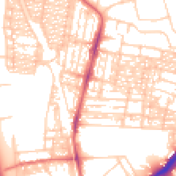
Daytime· 07:00 – 23:00
54.1dB

Night-time· 23:00 – 07:00
42.0dB