The Bridge 50 54, Union Street, Newcastle Upon Tyne, NE2 1AH
About The Bridge 50 54
The Bridge 50 54 is a property in Newcastle Upon Tyne (NE2 1AH).
Last sale on file: £20,812,439 in October 2023.
Know exactly what you're buying at The Bridge 50 54
Before you offer, see what the listing won't tell you, the true value, the red flags and the full history.
Already flagged here
Valuation
against the asking price
Risks
planning & flood
Sold prices
similar homes nearby
Trends
the local market
Energy performance
No EPC on record
This property doesn't have an Energy Performance Certificate yet. An EPC is required to sell or let — and unlocks our automated valuation.
Planning history
The Bridge 50 54 has no planning applications on record.
Notable planning nearby
4applications of note in the surrounding area
We flagged 1 thing worth checking at The Bridge 50 54
Independent checks surfaced things a buyer would want to understand before offering. The report explains each one in full, with the underlying data and what to ask.
- Signs of HMO activity in the area
30-day money-back guarantee
Sales history & valuation
£20,812,439
Recorded with HM Land Registry.
Sales timeline
31 October 2023Most recent
£20,812,439
Median price across the last 1 sales in NE2 1AH: £1,056,847 (2017–2017).
Nearby sales in NE2 1AH
Everything we know about The Bridge 50 54, in one report
What it's really worth, what could be wrong, and the planning, sales and area data in full.
What we flagged
- Signs of HMO activity in the area

Similar properties nearby
1 Amble Grove
NE2 1NY
1 Ashgill, Clayton Road
NE2 1TL
1 Beadnell Place
NE2 1YD
1 Brandling Court, Akenside Terrace
NE2 1TN
1 Brandon Grove
NE2 1PA
1 Chelmsford Lofts, Chelmsford Grove
NE2 1DY
1 Chester Crescent
NE2 1DH
1 Clarence House, Clarence Walk
NE2 1AD
The neighbourhood at a glance
Rail-style transport is unusually close for this postcode.
Crime
5/mo
Steady year-on-year across the wider district.
Nearest stop
0.1 km
Clarence Street — bus stop.
Closest school
0.3 km
Christ Church CofE Primary School. 32 schools nearby.
Go deeper on the local area
The full report breaks down crime, transport links, schools and air quality in depth.
Road noise across the postcode
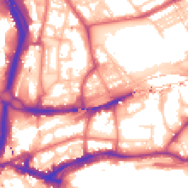
Daytime· 07:00 – 23:00
58.4dB

Night-time· 23:00 – 07:00
48.3dB