18 Arkle Street, Hazlerigg, Newcastle Upon Tyne, NE13 7DG
About 18 Arkle Street
18 Arkle Street is a semi-detached house in Hazlerigg, Newcastle Upon Tyne, Newcastle Upon Tyne (NE13 7DG). It has a recorded floor area of 88 m² (around 947 sq ft), construction records dating it to 1950-1966 and council tax band A. The latest certificate (June 2024) shows a D (score 64), on the cusp of jumping into the C band. The recommended improvements would push it to C (score 80).
Everything you need to know about 18 Arkle Street
The true value, the hidden risks and the full sale history, in one report.
30-day money-back guarantee

The data behind every report


Energy performance
EPC Rating
Planning history
18 Arkle Street has no planning applications on record.
The full report still covers planning activity across the surrounding area.
Sales history & valuation
18 Arkle Street has no Land Registry sales on file, suggesting it has stayed in the same hands since registration began.
£139,000
Modelled from EPC, postcode comparables.
No sales recorded with HM Land Registry
That can mean the property has never traded since the registry began publishing in 1995, was a new build that hasn't been registered yet, or is held in the same hands long-term.
Median price across the last 5 sales in NE13 7DG: £115,000 (2021–2008).
Nearby sales in NE13 7DG
10 Arkle Street, Hazlerigg, Newcastle Upon Tyne, NE13 7DG
Sold Sept 2021
£144,25020 Arkle Street, Hazlerigg, Newcastle Upon Tyne, NE13 7DG
Sold Sept 2016
£102,5008 Arkle Street, Hazlerigg, Newcastle Upon Tyne, NE13 7DG
Sold Aug 2008
£118,00011 Arkle Street, Hazlerigg, Newcastle Upon Tyne, NE13 7DG
Sold Apr 2005
£37,000
Versus other Arkle Street homes
EPC Rating
64 (D)
Street avg 60 (D)
Floor Area
88 m²
Street avg 90 m²
CO₂ Emissions
4.0 t/year
Street avg 4.6 t/year
Habitable Rooms
5 rooms
Street avg 4 rooms
Everything you need to know about 18 Arkle Street
The true value, the hidden risks and the full sale history, in one report.
30-day money-back guarantee
The data behind every report
Similar properties nearby
1 Aged Miners Homes, Brunswick Village
NE13 7EL
1 Chapel View, Brunswick Village
NE13 7EB
1 Brunswick Grove, Brunswick Village
NE13 7DX
1 Castle Street, Hazlerigg
NE13 7NQ
1 Charles Street, Hazlerigg
NE13 7AY
1 Alexander Terrace, Hazlerigg
NE13 7BT
1 Beaumont Terrace, Brunswick Village
NE13 7DZ
1 Ashfield Mews, Hazlerigg
NE13 7FD
The neighbourhood at a glance
Crime
3/mo
Steady year-on-year across the wider district.
Nearest stop
0.1 km
Coach Lane-Ferguson Crescent — bus stop.
Closest school
0.7 km
Hazlewood Community Primary School. 10 schools nearby.
Go deeper on the local area
The full report breaks down crime, transport links, schools and air quality in depth.
Road noise across the postcode
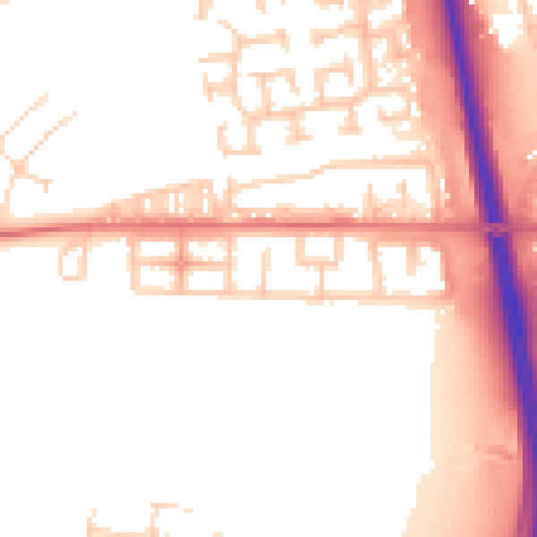
Daytime· 07:00 – 23:00
52.9dB

Night-time· 23:00 – 07:00
44.1dB