1 Chapel View, Brunswick Village, Newcastle Upon Tyne, NE13 7EB
About 1 Chapel View
1 Chapel View is a two-bedroom end-of-terrace house in Brunswick Village, Newcastle Upon Tyne, Newcastle Upon Tyne (NE13 7EB). It has a recorded floor area of 77 m² (around 829 sq ft), construction records dating it to 1967-1975 and council tax band A. The latest certificate (May 2013) shows a C (score 72). The recommended improvements would push it to B (score 85). The latest certificate is from May 2013, so improvements made since then won't be reflected.
Last changed hands 11 years ago, in June 2015. Across 2005–2015, sale prices on this property compounded at 2.3% per year. Today's modelled estimate of £136,000 is 29.5% above the 2015 sale price.
What this property has
Inside
- Bedrooms2
- Dining roomYes
- CloakroomYes
Outside
- Private gardenYes
Building
- Heating systemGas
- RefurbishedYes
Everything you need to know about 1 Chapel View
The true value, the hidden risks and the full sale history, in one report.
30-day money-back guarantee

The data behind every report


Energy performance
1 Chapel View's EPC is over a decade old — improvements since won't be reflected.
EPC Expired
This certificate is over 10 years old and is no longer valid.Expired 09 May 2023
EPC Rating
Planning history
1 Chapel View has no planning applications on record.
The full report still covers planning activity across the surrounding area.
Sales history & valuation
1 Chapel View changed hands twice within eighteen months — unusual for the area.
£136,000
Modelled from EPC, postcode comparables and a sale-price growth of 2.3% per year over 10 years.
£105,000
Growth on file: 2.3% per year over 10 years.
Sales timeline
4 June 2015Most recent
£105,000
26 August 2014
£105,000
+25.0%over 9 years28 July 2005
£84,000
Median price across the last 2 sales in NE13 7EB: £97,500 (2015–2005).
Nearby sales in NE13 7EB
Everything you need to know about 1 Chapel View
The true value, the hidden risks and the full sale history, in one report.
30-day money-back guarantee
The data behind every report
Similar properties nearby
1 Alexander Terrace, Hazlerigg
NE13 7BT
1 Ashfield Mews, Hazlerigg
NE13 7FD
1 Big Waters Close
NE13 7ES
1 Briardale, Dinnington
NE13 7JD
1 Beacon Drive, Wideopen
NE13 7HA
1 Alwin Grove, Dinnington
NE13 7FF
1 Bowmont Chase, Dinnington
NE13 7FG
1 Castle Way, Dinnington
NE13 7LS
The neighbourhood at a glance
Crime
3/mo
Steady year-on-year across the wider district.
Nearest stop
0.2 km
Darrell Street — bus stop.
Closest school
0.6 km
Hazlewood Community Primary School. 7 schools nearby.
Go deeper on the local area
The full report breaks down crime, transport links, schools and air quality in depth.
Road noise across the postcode
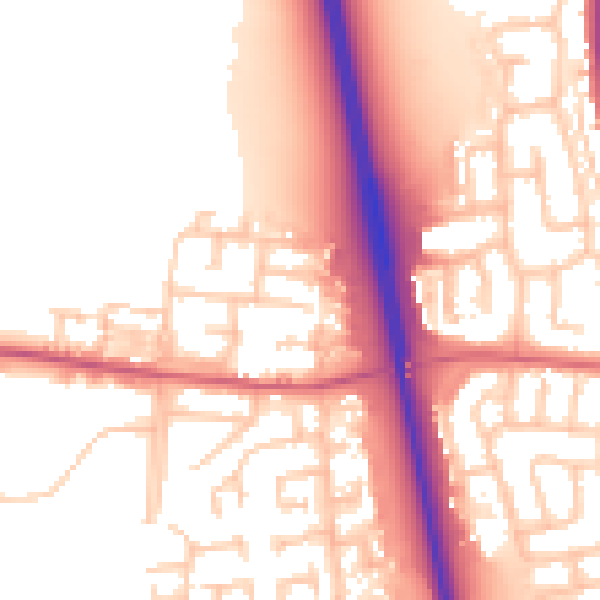
Daytime· 07:00 – 23:00
55.2dB

Night-time· 23:00 – 07:00
46.3dB