15 Bittern Close, Gateshead, NE11 9FF
About 15 Bittern Close
15 Bittern Close is a two-bedroom semi-detached house in Gateshead (NE11 9FF). It has a recorded floor area of 50 m² (around 538 sq ft), construction records dating it to 2003-2006 and council tax band A. At 50 m² this is the 3rd smallest of 58 units on EPC record in the building, where floor areas span 46–101 m². The building's EPC ratings span D to B across 58 units on file. The latest certificate (March 2022) shows a C (score 71). Main heating runs on electricity.
Untraded for 21 years, with the last transfer in September 2005. On a £-per-square-foot basis, the last sale (£223/sq ft) was about 29% above the typical sold price in the postcode. At 50 m² it's 21.9% smaller than the typical home in the postcode (64 m² median across 57 EPCs).
Know exactly what you're buying at 15 Bittern Close
Before you offer, see what the listing won't tell you, the true value, the red flags and the full history.
Valuation
against the asking price
Risks
planning & flood
Sold prices
similar homes nearby
Trends
the local market
What this property has
Inside
- Bedrooms2
- Bathrooms1
Energy performance
EPC Rating
Planning history
15 Bittern Close has no planning applications on record.
Notable planning nearby
2applications of note in the surrounding area
Sales history & valuation
£109,000
Modelled from EPC, postcode comparables.
£120,000
Recorded with HM Land Registry.
Sales timeline
1 September 2005Most recent
£120,000
Median price across the last 5 sales in NE11 9FF: £128,000 (2025–2024).
Nearby sales in NE11 9FF
Everything we know about 15 Bittern Close, in one report
What it's really worth, what could be wrong, and the planning, sales and area data in full.
- Am I paying too much?
- Is something wrong with it?
- Is the agent's story true?
- Will it hold its value?

Versus other Bittern Close homes
15 Bittern Close is notably below the street on floor area.
Price per m²
£2,400
Street avg £1,917
Floor Area
50 m²
Street avg 60 m²
Habitable Rooms
3 rooms
Street avg 3 rooms
CO₂ Emissions
2.6 t/year
Street avg 2.5 t/year
Similar properties nearby
The neighbourhood at a glance
Rail-style transport is unusually close for this postcode.
Crime
2/mo
Rising year-on-year across the wider district.
Nearest stop
0.2 km
Colliery Road — bus stop.
Closest school
0.2 km
Riverside Primary Academy. 33 schools nearby.
Go deeper on the local area
The full report breaks down crime, transport links, schools and air quality in depth.
Road noise across the postcode
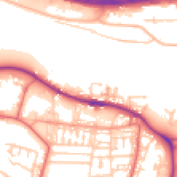
Daytime· 07:00 – 23:00
54.6dB

Night-time· 23:00 – 07:00
46.4dB