135 Bittern Close, Gateshead, NE11 9FF
About 135 Bittern Close
135 Bittern Close is a semi-detached house in Gateshead (NE11 9FF). It has a recorded floor area of 64 m² (around 689 sq ft), construction records dating it to 2003-2006 and council tax band B. At 64 m² this is the 29th smallest of 58 units on EPC record in the building, where floor areas span 46–101 m². The building's EPC ratings span D to B across 58 units on file. The latest certificate (February 2017) shows a C (score 76), near the top of the C band. The recommended improvements would push it to B (score 81). Main heating runs on electricity.
It changed hands recently, sold March 2025 for £128,000. Across 2005–2025, sale prices on this property compounded at -1% per year.
Know exactly what you're buying at 135 Bittern Close
Before you offer, see what the listing won't tell you, the true value, the red flags and the full history.
Valuation
against the asking price
Risks
planning & flood
Sold prices
similar homes nearby
Trends
the local market
Energy performance
EPC Rating
Planning history
135 Bittern Close has no planning applications on record.
Notable planning nearby
2applications of note in the surrounding area
Sales history & valuation
135 Bittern Close's sale-price growth has lagged the wider UK trajectory across its history on file.
£129,000
Modelled from EPC, postcode comparables and a sale-price growth of -1.0% per year over 20 years.
£128,000
Growth on file: -1.0% per year over 20 years.
Sales timeline
3 March 2025Most recent
£128,000
+11.3%over 5 years4 November 2019
£115,000
-25.8%over 14 years9 June 2005
£155,000
Median price across the last 5 sales in NE11 9FF: £150,000 (2025–2023).
Nearby sales in NE11 9FF
Everything we know about 135 Bittern Close, in one report
What it's really worth, what could be wrong, and the planning, sales and area data in full.
- Am I paying too much?
- Is something wrong with it?
- Is the agent's story true?
- Will it hold its value?

Versus other Bittern Close homes
135 Bittern Close is notably below the street on years held.
Price per m²
£2,000
Street avg £1,931
Floor Area
64 m²
Street avg 59 m²
Habitable Rooms
3 rooms
Street avg 3 rooms
CO₂ Emissions
2.8 t/year
Street avg 2.5 t/year
Similar properties nearby
The neighbourhood at a glance
Rail-style transport is unusually close for this postcode.
Crime
2/mo
Rising year-on-year across the wider district.
Nearest stop
0.2 km
Colliery Road — bus stop.
Closest school
0.2 km
Riverside Primary Academy. 33 schools nearby.
Go deeper on the local area
The full report breaks down crime, transport links, schools and air quality in depth.
Road noise across the postcode
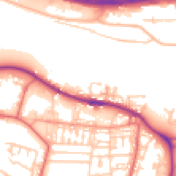
Daytime· 07:00 – 23:00
54.6dB

Night-time· 23:00 – 07:00
46.4dB