10 Forth Place, Newcastle Upon Tyne, NE1 4EU
About 10 Forth Place
10 Forth Place is an end-of-terrace house in Newcastle Upon Tyne (NE1 4EU). It has a recorded floor area of 68 m² (around 732 sq ft), construction records dating it to 1976-1982 and council tax band A. At 68 m² this is the smallest unit on EPC record across the building (68–84 m²). The latest certificate (June 2013) shows a C (score 79), near the top of the C band. The recommended improvements would push it to B (score 81). The latest certificate is from June 2013, so improvements made since then won't be reflected.
Everything you need to know about 10 Forth Place
The true value, the hidden risks and the full sale history, in one report.
30-day money-back guarantee

The data behind every report


Energy performance
10 Forth Place's EPC is over a decade old — improvements since won't be reflected.
EPC Expired
This certificate is over 10 years old and is no longer valid.Expired 03 Jun 2023
EPC Rating
Planning history
10 Forth Place has no planning applications on record.
The full report still covers planning activity across the surrounding area.
Sales history & valuation
10 Forth Place has no Land Registry sales on file, suggesting it has stayed in the same hands since registration began.
£131,000
Modelled from EPC, postcode comparables.
No sales recorded with HM Land Registry
That can mean the property has never traded since the registry began publishing in 1995, was a new build that hasn't been registered yet, or is held in the same hands long-term.
Median price across the last 2 sales in NE1 4EU: £82,250 (2007–1998).
Nearby sales in NE1 4EU
Versus other Forth Place homes
CO₂ Emissions for 10 Forth Place runs comfortably ahead of the street norm.
EPC Rating
79 (C)
Street avg 75 (C)
Floor Area
68 m²
Street avg 77 m²
CO₂ Emissions
1.8 t/year
Street avg 2.4 t/year
Habitable Rooms
3 rooms
Street avg 3 rooms
Everything you need to know about 10 Forth Place
The true value, the hidden risks and the full sale history, in one report.
30-day money-back guarantee
The data behind every report
Similar properties nearby
1 Thornton Court, Forth Place
NE1 4ES
10 St James View, St James Street
NE1 4NH
10 Citygate, Bath Lane
NE1 4DL
10 Peel House, Temple Street
NE1 4BP
1 Charlotte Mews
NE1 4XH
1 3, Flat 6, Gallowgate
NE1 4SG
1 3, Flat 2, Gallowgate
NE1 4SG
1 3, Flat 4, Gallowgate
NE1 4SG
The neighbourhood at a glance
Rail-style transport is unusually close for this postcode.
Crime
14/mo
Rising year-on-year across the wider district.
Nearest stop
0.1 km
Central Stn Clayton St — bus stop.
Closest school
0.4 km
Our Lady and St Anne's Catholic Primary School. 36 schools nearby.
Go deeper on the local area
The full report breaks down crime, transport links, schools and air quality in depth.
Road noise across the postcode
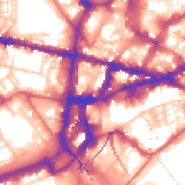
Daytime· 07:00 – 23:00
60.6dB
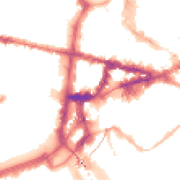
Night-time· 23:00 – 07:00
51.6dB