15 23, City Road, Newcastle Upon Tyne, NE1 2AF
About 15 23
15 23 is an end-of-terrace house in Newcastle Upon Tyne (NE1 2AF). It has a recorded floor area of 243 m² (around 2616 sq ft) and construction records dating it to 1900-1929. At 243 m² this is the smallest unit on EPC record across 15 23 (243–243 m²). On EPC score it ranks last in the building (81 versus a best of 87). The latest certificate (February 2022) returns a B (score 81), comfortably above the UK average. The rating has held steady at B across 4 certificates since January 2022. Between certificates, roof efficiency dropped from Good to Average.
At 243 m² the property is well over the postcode median (116 m² across 10 EPCs), placing it in the larger end of the local stock. 3 planning records sit against the property, 3 approved, 0 refused. Past consents include change of use to residential and an extension, meaningful when judging how the property has evolved.
Everything you need to know about 15 23
The true value, the hidden risks and the full sale history, in one report.
30-day money-back guarantee

The data behind every report


Energy performance
Achieving this rating across a home of this size is uncommon — larger homes typically score lower.
EPC Rating
Planning history
- May 2022Change of UseConditionsIn report
Variation of condition 3 (to allow for non-student tenants with a short term lease until October 2022) to planning permission 2021/0962/01/DET dated 16/9/2021:Change of use from offices to 2 x 4 bedroom and 1 x 5 bedroom cluster flats for student accommodation (Class C4) with alterations to elevations and insertion of rooflights as amended by plans (drawing numbers 03 Rev D and 04 rev B) received 16/08/21
- Documents
- 4 docs on file
- Reference
- 2021/0962/02/RVC
- Sept 2021Change of UseFullIn report
Change of use from offices to 2 x 4 bedroom and 1 x 5 bedroom cluster flats for student accommodation (Class C4) with alterations to elevations and insertion of rooflights as amended by plans (drawing numbers 03 Rev D and 04 rev B) received 16/08/21
- Documents
- 18 docs on file
- Reference
- 2021/0962/01/DET
What's in 15 23, City Road, Newcastle Upon Tyne, NE1 2AF's planning history?
1 more on this property, plus refusals, disputes and full decisions nearby, in the report.
Sales history & valuation
15 23 has no Land Registry sales on file, suggesting it has stayed in the same hands since registration began.
£634,000
Modelled from EPC, postcode comparables.
No sales recorded with HM Land Registry
That can mean the property has never traded since the registry began publishing in 1995, was a new build that hasn't been registered yet, or is held in the same hands long-term.
Median price across the last 3 sales in NE1 2AF: £38,000 (2021–1997).
Versus other City Road homes
15 23 is notably below the street on co₂ emissions.
EPC Rating
81 (B)
Street avg 79 (C)
Floor Area
243 m²
Street avg 141 m²
CO₂ Emissions
4.8 t/year
Street avg 3.0 t/year
Habitable Rooms
6 rooms
Street avg 5 rooms
Everything you need to know about 15 23
The true value, the hidden risks and the full sale history, in one report.
30-day money-back guarantee
The data behind every report
Similar properties nearby
1 Byker Pier
NE1 2AR
1 Ouse Street
NE1 2DQ
10 Ouse Street
NE1 2DQ
10 High Quay, City Road
NE1 2PD
1 Lime Square, City Road
NE1 2BA
1 Manor Chare Apartments, Manor Chare
NE1 2EQ
10 Lime Square, City Road
NE1 2BA
1 Mariners Wharf, Quayside
NE1 2BJ
The neighbourhood at a glance
Rail-style transport is unusually close for this postcode.
Crime
14/mo
Rising year-on-year across the wider district.
Nearest stop
0.0 km
City Road-Melbourne Street — bus stop.
Closest school
0.5 km
Christ Church CofE Primary School. 31 schools nearby.
Go deeper on the local area
The full report breaks down crime, transport links, schools and air quality in depth.
Road noise across the postcode
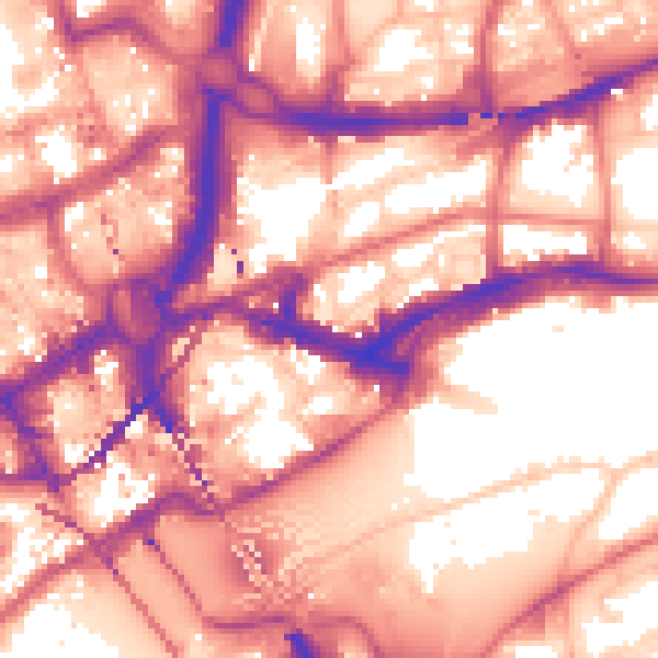
Daytime· 07:00 – 23:00
60.3dB

Night-time· 23:00 – 07:00
50.5dB