Flat 1, 8 Middleton Grove, London, N7 9LU
About Flat 1
Flat 1 is a property in London (N7 9LU). It has council tax band C.
One historical planning record sits against the property in 2025.
Energy performance
No EPC on record
This property doesn't have an Energy Performance Certificate yet. An EPC is required to sell or let — and unlocks our automated valuation.
Planning history
- Mar 2025Tree WorksTreesIn report
I am the executor for the estate of the deceased owner of the flat. We are seeking permission to remove two trees which are highlighted in the attached photo from the street. The reason we believe this is necessary is that, as the photo from the garden shows, these trees are next to a brick perimeter wall. They are clearly damaging it and causing it to lean outwards, and it looks as if they will at some point destabilise it. I think they are some sort of cherry, but I hope you will be able to identify the species better than I can from the photos
- Documents
- 4 docs on file
- Reference
- P2025/0928/TRE
Sales history & valuation
No sales recorded with HM Land Registry
That can mean the property has never traded since the registry began publishing in 1995, was a new build that hasn't been registered yet, or is held in the same hands long-term.
Median price across the last 5 sales in N7 9LU: £477,500 (2025–2018).
Nearby sales in N7 9LU
Flat A, 7 Middleton Grove, London, N7 9LU
Sold Aug 2025
£477,500First Floor Flat, 6 Middleton Grove, London, N7 9LU
Sold Sept 2023
£570,000Flat 1, 4 Middleton Grove, London, N7 9LU
Sold May 2022
£638,000Ground Floor Flat, 3 Middleton Grove, Islington, London, N7 9LU
Sold Mar 2021
£420,000Flat 3, 8 Middleton Grove, London, N7 9LU
Sold Jun 2016
£595,000
Similar properties nearby
107a, Flat 1, York Way, Camden
N7 9QE
107a, Flat 2, York Way, Camden
N7 9QE
107a, Flat 3, York Way, Camden
N7 9QE
107a, Flat 4, York Way, Camden
N7 9QE
107a, Flat 5, York Way, Camden
N7 9QE
141 143, Flat 1, York Way
N7 9LG
141 143, Flat 10, York Way
N7 9LG
141 143, Flat 2, York Way
N7 9LG
The neighbourhood at a glance
Rail-style transport is unusually close for this postcode.
Crime
12/mo
Rising year-on-year across the wider district.
Nearest stop
0.1 km
Hilldrop Road — bus stop.
Closest school
0.3 km
Hungerford School. 86 schools nearby.
Road noise across the postcode
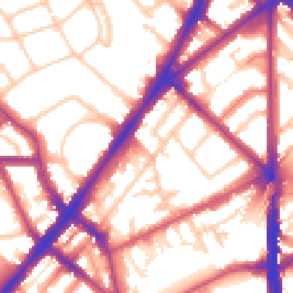
Daytime· 07:00 – 23:00
56.8dB

Night-time· 23:00 – 07:00
47.9dB