9a, Hargrave Place, Camden, London, N7 0BP
About 9a
9a is a detached house in Camden, London, London (N7 0BP). It has a recorded floor area of 29 m² (around 314 sq ft), construction records dating it to before 1900 and council tax band B. The latest certificate (September 2009) shows a D (score 55), a step below the typical UK home. The latest certificate is from September 2009, so improvements made since then won't be reflected.
9 planning records sit against the property, 5 approved, 4 refused. Past consents include change of use to residential, meaningful when judging how the property has evolved. The record references listed-building consent, which constrain future alterations. At 29 m² it sits well below the postcode median (54 m² across 12 EPCs), making it one of the more compact homes locally.
Know exactly what you're buying at 9a
Before you offer, see what the listing won't tell you, the true value, the red flags and the full history.
Already flagged here
Valuation
against the asking price
Risks
planning & flood
Sold prices
similar homes nearby
Trends
the local market
Energy performance
9a's EPC is over a decade old — improvements since won't be reflected.
EPC Expired
This certificate is over 10 years old and is no longer valid.Expired 29 Sept 2019
EPC Rating
Planning history
A HMO conversion application was refused at 9a in 2021.
- Sept 2021HMOFullIn report
Temporary change of use for the period of 3 years from Public house (Class A4) to Large House in Multiple Occupation (HMO) (Class Sui Generis) with associated alterations.
- Documents
- 61 docs on file
- Reference
- 2020/4462/P
- Jul 2017BasementFullIn report
Extension: Rear of property
Redevelopment of the site including multiple storey rear extensions, a basement extension (to include toilets and a commercial kitchen), mansard roof addition and associated works to 9 Hargrave Place; conversion of part of ground floor and upper floors from Public House (A4) to residential (C3) use and the creation of 3 residential flats (C3).
ExtensionChange of Use- Documents
- 53 docs on file
- Reference
- 2016/7069/P
We flagged 1 thing worth checking at 9a
Independent checks surfaced things a buyer would want to understand before offering. The report explains each one in full, with the underlying data and what to ask.
- A planning decision worth checking
30-day money-back guarantee
Sales history & valuation
9a has no Land Registry sales on file, suggesting it has stayed in the same hands since registration began.
£385,000
Modelled from EPC, postcode comparables.
No sales recorded with HM Land Registry
That can mean the property has never traded since the registry began publishing in 1995, was a new build that hasn't been registered yet, or is held in the same hands long-term.
Median price across the last 5 sales in N7 0BP: £700,000 (2025–2018).
Nearby sales in N7 0BP
Flat 2, 5 Hargrave Place, Camden, London, N7 0BP
Sold Jun 2025
£615,000Flat 5, 5 Hargrave Place, Camden, London, N7 0BP
Sold Jun 2023
£810,0002a, Flat 2, Hargrave Place, London, N7 0BP
Sold Sept 2021
£325,000Flat 4, 5 Hargrave Place, Camden, London, N7 0BP
Sold Aug 2016
£460,000Flat 3, 5 Hargrave Place, Camden, London, N7 0BP
Sold Jul 2016
£470,000
Everything we know about 9a, in one report
What it's really worth, what could be wrong, and the planning, sales and area data in full.
What we flagged
- A planning decision worth checking

Versus other Hargrave Place homes
9a is notably below the street on epc rating.
EPC Rating
55 (D)
Street avg 75 (C)
Floor Area
29 m²
Street avg 63 m²
CO₂ Emissions
2.9 t/year
Street avg 2.0 t/year
Habitable Rooms
2 rooms
Street avg 3 rooms
Similar properties nearby
1 Cardwell Terrace, Islington
N7 0NH
1 Landleys Fields, Hargrave Place, Camden
N7 0BS
1 3, Flat 8, Pleshey Road
N7 0RA
1 3, Flat 6, Pleshey Road
N7 0RA
1 Bakers Field, Islington
N7 0LT
1 3, Flat 7, Pleshey Road
N7 0RA
1 3, Flat 4, Pleshey Road, Islington
N7 0RA
1 3, Flat 5, Pleshey Road
N7 0RA
The neighbourhood at a glance
Rail-style transport is unusually close for this postcode.
Crime
12/mo
Rising year-on-year across the wider district.
Nearest stop
0.1 km
Camden Road Brecknock Road — bus stop.
Closest school
0.2 km
Torriano Primary School. 81 schools nearby.
Go deeper on the local area
The full report breaks down crime, transport links, schools and air quality in depth.
Road noise across the postcode
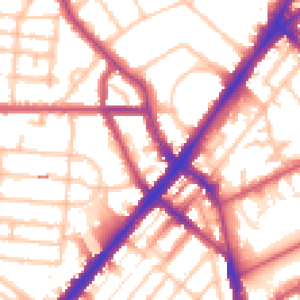
Daytime· 07:00 – 23:00
55.5dB

Night-time· 23:00 – 07:00
45.9dB