4 Hargrave Place, Camden, London, N7 0BP
About 4 Hargrave Place
4 Hargrave Place is a two-bedroom mid-terrace house in Camden, London, London (N7 0BP). It has a recorded floor area of 56 m² (around 603 sq ft), construction records dating it to before 1900 and council tax band C. The latest certificate (June 2023) shows a C (score 76), near the top of the C band. When first surveyed in June 2010 the rating was D, the property has climbed 1 band since. Between certificates, wall efficiency went from Very Poor to Good, window efficiency went from Poor to Average and lighting went from Very Poor to Very Good.
It hasn't traded since December 2002, a hold of 23 years that's notably long for the area. Today's modelled estimate of £419,000 sits 157.1% above the 2002 sale of £163,000. On a £-per-square-foot basis, the last sale (£270/sq ft) was about 67.7% below the postcode norm. 6 planning records sit against the property, 6 approved, 0 refused. Past consents include an extension and a conservatory, meaningful when judging how the property has evolved.
Know exactly what you're buying at 4 Hargrave Place
Before you offer, see what the listing won't tell you, the true value, the red flags and the full history.
Valuation
against the asking price
Risks
planning & flood
Sold prices
similar homes nearby
Trends
the local market
What this property has
Inside
- Bedrooms2
- Bathrooms2
Energy performance
4 Hargrave Place's carbon output is low for the local stock.
EPC Rating
Property Improvements
Changes detected from historical EPC data
Heating controls changed
Cavity wall insulation installed
Heating controls upgraded for better temperature management
Windows upgraded, improving insulation
Floor insulation added or improved
Cavity wall insulation installed
Roof insulation improved
More low energy lighting installed
Planning history
4 Hargrave Place has been through 6 approved planning applications — a well-evolved property.
- May 2016ConditionsIn report
Details of photovoltaics and green roof as required by conditions 5 and 6 of planning permission 2014/3714/P dated 18/11/.2014
- Documents
- 11 docs on file
- Reference
- 2015/7240/P
- Jun 2015AmendmentIn report
Alterations to front and side ground floor elevations and upper floor windows, and conversion of ground floor servicing and parking yard to internal floorspace in building approved under planning permission 2014/3714/P dated 18/11/14.
- Documents
- 7 docs on file
- Reference
- 2015/1908/P
What's in 4 Hargrave Place, Camden, London, N7 0BP's planning history?
4 more on this property, plus refusals, disputes and full decisions nearby, in the report.
Sales history & valuation
£419,000
Modelled from EPC, postcode comparables.
£163,000
Recorded with HM Land Registry.
Sales timeline
20 December 2002Most recent
£163,000
Median price across the last 5 sales in N7 0BP: £700,000 (2025–2018).
Nearby sales in N7 0BP
Flat 2, 5 Hargrave Place, Camden, London, N7 0BP
Sold Jun 2025
£615,000Flat 5, 5 Hargrave Place, Camden, London, N7 0BP
Sold Jun 2023
£810,0002a, Flat 2, Hargrave Place, London, N7 0BP
Sold Sept 2021
£325,000Flat 4, 5 Hargrave Place, Camden, London, N7 0BP
Sold Aug 2016
£460,000Flat 3, 5 Hargrave Place, Camden, London, N7 0BP
Sold Jul 2016
£470,000
Everything we know about 4 Hargrave Place, in one report
What it's really worth, what could be wrong, and the planning, sales and area data in full.
- Am I paying too much?
- Is something wrong with it?
- Is the agent's story true?
- Will it hold its value?

Versus other Hargrave Place homes
4 Hargrave Place outperforms the street on years held by a wide margin.
Price per m²
£2,911
Street avg £8,297
Floor Area
56 m²
Street avg 61 m²
Habitable Rooms
2 rooms
Street avg 3 rooms
CO₂ Emissions
1.5 t/year
Street avg 2.1 t/year
Similar properties nearby
1 Landleys Fields, Hargrave Place, Camden
N7 0BS
1 Moriatry Close, Islington
N7 0EF
1 Huddleston Road, Islington
N7 0RE
1 Archibald Road, Islington
N7 0AN
1 Crayford Mews, Islington
N7 0DQ
1 Cardwell Terrace, Islington
N7 0NH
1 3, Flat 8, Pleshey Road
N7 0RA
1 3, Flat 6, Pleshey Road
N7 0RA
The neighbourhood at a glance
Rail-style transport is unusually close for this postcode.
Crime
12/mo
Rising year-on-year across the wider district.
Nearest stop
0.1 km
Camden Road Brecknock Road — bus stop.
Closest school
0.2 km
Torriano Primary School. 81 schools nearby.
Go deeper on the local area
The full report breaks down crime, transport links, schools and air quality in depth.
Road noise across the postcode
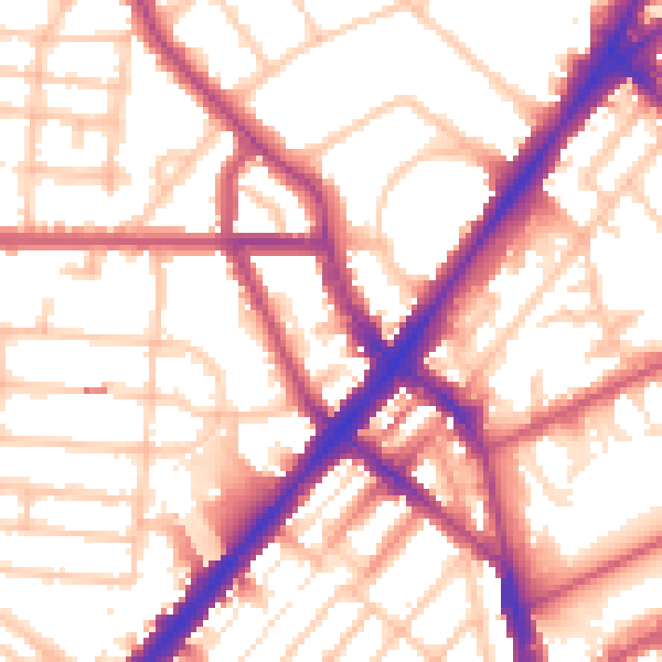
Daytime· 07:00 – 23:00
55.5dB

Night-time· 23:00 – 07:00
45.9dB