2 Hargrave Place, Camden, London, N7 0BP
About 2 Hargrave Place
2 Hargrave Place is a two-bedroom detached house in Camden, London, London (N7 0BP). It has a recorded floor area of 145 m² (around 1561 sq ft), construction records dating it to 1900-1929 and council tax band E. The latest certificate (November 2013) shows a D (score 61), on the cusp of jumping into the C band. The recommended improvements would push it to C (score 77). The latest certificate is from November 2013, so improvements made since then won't be reflected.
At 145 m² the property is well over the postcode median (49 m² across 12 EPCs), placing it in the larger end of the local stock. Today's modelled estimate of £789,000 sits 125.4% above the 2014 sale of £350,000. On a £-per-square-foot basis, the last sale (£224/sq ft) was about 73.2% below the postcode norm. 8 planning records sit against the property, 8 approved, 0 refused. Past consents include new windows and an extension, meaningful when judging how the property has evolved. On the market in June 2014 and unlisted since — roughly 12 years.
Know exactly what you're buying at 2 Hargrave Place
Before you offer, see what the listing won't tell you, the true value, the red flags and the full history.
Valuation
against the asking price
Risks
planning & flood
Sold prices
similar homes nearby
Trends
the local market
What this property has
Inside
- Bedrooms2
- Bathrooms2
Energy performance
2 Hargrave Place's carbon output runs well above what efficient homes in the postcode produce.
EPC Expired
This certificate is over 10 years old and is no longer valid.Expired 16 Nov 2023
EPC Rating
Planning history
2 Hargrave Place has been through 8 approved planning applications — a well-evolved property.
- Jun 2024RenovationFullIn report
Installation of perforated metal screen and glazing to ground floor street frontage and new window to side elevation
New Windows- Documents
- 8 docs on file
- Reference
- 2024/1885/P
- Apr 2019OutlineIn report
Details as required by condition 4 (green roof) of planning permission ref: 2017/3457/P dated 31/08/2017 for the Erection of single storey first floor extension to include green roofing and walls, erection of retractable glass roof and associated alterations to single storey rear live/work unit
- Documents
- 7 docs on file
- Reference
- 2019/1253/P
What's in 2 Hargrave Place, Camden, London, N7 0BP's planning history?
6 more on this property, plus refusals, disputes and full decisions nearby, in the report.
Sales history & valuation
2 Hargrave Place valuation sits well clear of the typical sold price in this postcode.
£789,000
Modelled from EPC, postcode comparables.
£350,000
Recorded with HM Land Registry.
Sales timeline
11 June 2014Most recent
£350,000
Median price across the last 5 sales in N7 0BP: £700,000 (2025–2018).
Nearby sales in N7 0BP
Flat 2, 5 Hargrave Place, Camden, London, N7 0BP
Sold Jun 2025
£615,000Flat 5, 5 Hargrave Place, Camden, London, N7 0BP
Sold Jun 2023
£810,0002a, Flat 2, Hargrave Place, London, N7 0BP
Sold Sept 2021
£325,000Flat 4, 5 Hargrave Place, Camden, London, N7 0BP
Sold Aug 2016
£460,000Flat 3, 5 Hargrave Place, Camden, London, N7 0BP
Sold Jul 2016
£470,000
Everything we know about 2 Hargrave Place, in one report
What it's really worth, what could be wrong, and the planning, sales and area data in full.
- Am I paying too much?
- Is something wrong with it?
- Is the agent's story true?
- Will it hold its value?

Versus other Hargrave Place homes
Price per m² for 2 Hargrave Place lags the street by a wide margin.
Price per m²
£2,414
Street avg £8,368
Floor Area
145 m²
Street avg 54 m²
Habitable Rooms
3 rooms
Street avg 2 rooms
CO₂ Emissions
6.2 t/year
Street avg 1.7 t/year
Similar properties nearby
1 Landleys Fields, Hargrave Place, Camden
N7 0BS
1 Crayford Mews, Islington
N7 0DQ
1 Huddleston Road, Islington
N7 0RE
1 Moriatry Close, Islington
N7 0EF
1 Archibald Road, Islington
N7 0AN
1 Melyn Close, Islington
N7 0RH
1 Leaf Walk, Islington
N7 0FG
1 Tabley Road, Islington
N7 0NA
The neighbourhood at a glance
Rail-style transport is unusually close for this postcode.
Crime
12/mo
Rising year-on-year across the wider district.
Nearest stop
0.1 km
Camden Road Brecknock Road — bus stop.
Closest school
0.2 km
Torriano Primary School. 81 schools nearby.
Go deeper on the local area
The full report breaks down crime, transport links, schools and air quality in depth.
Road noise across the postcode
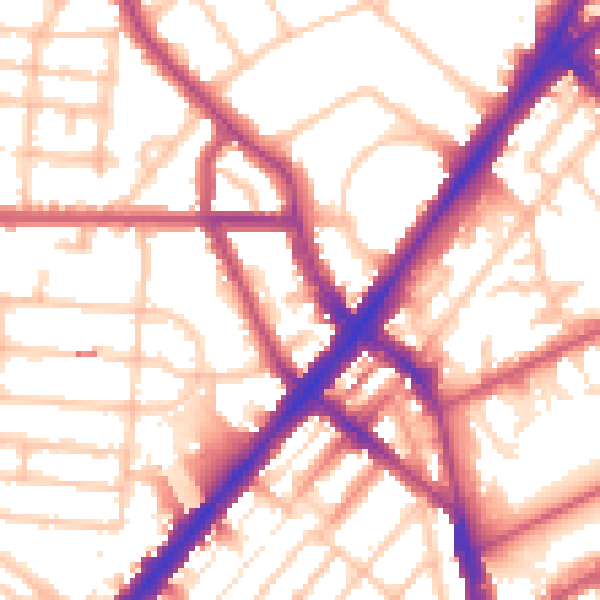
Daytime· 07:00 – 23:00
55.5dB

Night-time· 23:00 – 07:00
45.9dB