5 Bacons Lane, Camden, London, N6 6BL
About 5 Bacons Lane
5 Bacons Lane is a four-bedroom detached house in Camden, London, London (N6 6BL). It has a recorded floor area of 154 m² (around 1658 sq ft), construction records dating it to 1950-1966 and council tax band H. The latest certificate (July 2022) shows a C (score 72). The rating has held steady at C across 2 certificates since May 2012. Between certificates, wall efficiency went from Poor to Very Good and roof efficiency went from Very Poor to Average; while lighting dropped from Very Good to Average. The recommended improvements would push it to B (score 81).
6 planning records sit against the property, 4 approved, 1 refused. Past consents include an extension, partial demolition and new windows, meaningful when judging how the property has evolved. At 154 m² it's 26.1% smaller than the typical home in the postcode (209 m² median across 4 EPCs). Its energy rating outperforms most of the postcode (better than 75% of similar EPCs). Across 2007–2022, sale prices on this property compounded at 7.2% per year. Most recent transfer: October 2022 at £3,250,000. That sale was during the post-pandemic price surge, when transactions cleared materially above pre-2020 trend.
What this property has
Inside
- Bedrooms4
- Dining roomYes
- StudyYes
Outside
- Private gardenYes
- GarageDouble
Everything you need to know about 5 Bacons Lane
The true value, the hidden risks and the full sale history, in one report.
30-day money-back guarantee

The data behind every report


Energy performance
EPC Rating
Property Improvements
Changes detected from historical EPC data
Wall insulation improved
Roof insulation improved
Floor insulation added or improved
Low energy lighting percentage decreased
Planning history
Planning history includes recorded demolition works, indicating a major rebuild phase at this address.
- Oct 2022Tree WorksTreesIn report
FRONT GARDEN: 1 x Unknown (T1) - Fell to ground level and grind down stump 300mm below ground level. REAR GARDEN: 1 x Fig (Ficus Carica) (T2) - Fell to ground level and poison stump to prevent re-growth.
- Documents
- 5 docs on file
- Reference
- 2022/3659/T
- Jul 2019ConditionsIn report
Details of the construction management statement required by condition 6 of planning permission 2017/2646/P granted on 29/09/17 (for erection of part single, part 2-storey side extension with terrace at rear first floor level to existing dwelling house (C3) following the demolition of the existing single storey side wing).
- Documents
- 5 docs on file
- Reference
- 2019/3157/P
We flagged 1 thing worth checking at 5 Bacons Lane
Independent checks surfaced things a buyer would want to understand before offering. The report explains each one in full, with the underlying data and what to ask.
- Larger development activity nearby
30-day money-back guarantee
Sales history & valuation
Sale price has at least doubled since 2007.
£3,160,000
Modelled from EPC, postcode comparables and a sale-price growth of 7.2% per year over 16 years.
£3,250,000
Growth on file: 7.2% per year over 16 years.
Sales timeline
31 October 2022Most recent
£3,250,000
+195.5%over 15 years13 March 2007
£1,100,000
Median price across the last 4 sales in N6 6BL: £1,671,129 (2023–1998).
Versus other Bacons Lane homes
CO₂ Emissions for 5 Bacons Lane runs comfortably ahead of the street norm.
EPC Rating
72 (C)
Street avg 60 (D)
Floor Area
154 m²
Street avg 208 m²
CO₂ Emissions
4.5 t/year
Street avg 10.1 t/year
Habitable Rooms
5 rooms
Street avg 7 rooms
Everything you need to know about 5 Bacons Lane
The true value, the hidden risks and the full sale history, in one report.
30-day money-back guarantee
The data behind every report
Similar properties nearby
1 Langbourne Avenue, Camden
N6 6AJ
1 St Michaels Terrace, South Grove, Camden
N6 6BH
1 Highfields Grove, Camden
N6 6HN
1 Bromwich Avenue, Camden
N6 6QH
1 Millfield Place, Camden
N6 6JP
1 West View, Makepeace Avenue, Camden
N6 6EX
1 St Annes Close, Camden
N6 6AR
1 Pond Square, Camden
N6 6BA
The neighbourhood at a glance
Reported crime in the wider district is trending notably upward year-on-year.
Crime
7/mo
Rising year-on-year across the wider district.
Nearest stop
0.1 km
St Michael's Church — bus stop.
Closest school
0.5 km
St Michael's CofE Voluntary Aided Primary School. 58 schools nearby.
Go deeper on the local area
The full report breaks down crime, transport links, schools and air quality in depth.
Road noise across the postcode
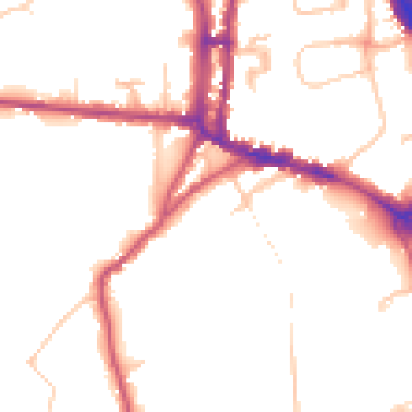
Daytime· 07:00 – 23:00
48.4dB

Night-time· 23:00 – 07:00
39.6dB