Are you a property professional?Get qualified leads from motivated homeowners.
Get started19 Stormont Road, Haringey, London, N6 4NS
Extendable
About 19 Stormont Road
A plain-English summary derived from public records, EPC certificates, sold prices and local data.
19 Stormont Road is a six-bedroom detached house in Haringey, London, London (N6 4NS). It has a recorded floor area of 393 m² (around 4230 sq ft), construction records dating it to before 1900 and council tax band H. The latest certificate (March 2017) shows a D (score 65), on the cusp of jumping into the C band. The recommended improvements would push it to C (score 80). Other recorded features include a self-contained annexe and attached land beyond the plot. Our model identifies extension potential, subject to local planning policy.
9 planning records sit against the property, 8 approved, 0 refused. Past consents include an extension, a basement excavation and a porch, meaningful when judging how the property has evolved. Today's modelled estimate of £6,967,000 is 36.6% above the 2018 sale price. Last sale on file: £5,100,000 in October 2018.
What this property has
Pulled from EPC certificates, claim submissions and our property model. Empty categories are hidden — we only show what's known.
Inside
- Bedrooms6
- Dining roomYes
- Utility roomYes
- CloakroomYes
Energy performance
Every EPC certificate filed against this property — current rating, recorded improvements, and where there's headroom to reach a higher band.
19 Stormont Road's carbon output runs well above what efficient homes in the postcode produce.
EPC Rating
A
B
C
D
D65
E
F
G
Main Heating
Gas
Main Fuel
Gas
Hot Water
Good
Windows
Average
CO2 Emissions
14.0 t/year
Occupancy
Owner Occupied
Planning history
Applications and permits filed against 19 Stormont Road, Haringey, London, N6 4NS, sourced from the PlanIt planning register.
19 Stormont Road has been extended on multiple sides of the property across separate planning applications.
- May 2022Tree WorksTreesNo Objection
Lawson Cypress (T1): Remove due to storm damage 2x Birch Trees (T2-3): Remove to give more room to remaining trees
Sales history & valuation
Recorded transactions, our model's current estimate, and a quick read on what neighbouring properties have sold for.
19 Stormont Road valuation sits well clear of the typical sold price in this postcode.
Current estimate
See how we calculated this£6,967,000
Modelled from EPC, postcode comparables.
Last sold (2018)
£5,100,000
Recorded with HM Land Registry.
Sales timeline
Versus other Stormont Road homes
Four headline reads against 7 similar houses on this street, drawn from the latest EPC and Land Registry data.
On epc rating, 19 Stormont Road stands well clear of the street.
Price per m²
£12,977
Street avg £21,371
Floor Area
393 m²
Street avg 342 m²
Habitable Rooms
10 rooms
Street avg 9 rooms
Similar properties nearby
A handful of close matches in the same postcode area, ranked by likeness on bedrooms, type and floor area.
The neighbourhood at a glance
A condensed read of the local area. Each tile links through to the full breakdown on the London district page.
Reported crime in the wider district is trending notably upward year-on-year.
Crime
7/mo
Rising year-on-year across the wider district.
Nearest stop
0.1 km
Stormont Road — bus stop.
Road noise across the postcode
Modelled day and night-time noise levels around N6 4NS from Defra's strategic mapping. The pin marks this postcode's centroid.
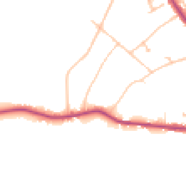
Daytime· 07:00 – 23:00
45.4dB

Everything within walking distance
Schools, transport stops and scenic spots near this property — 78 points of interest in total.
Beautiful places to visit nearby
Curated scenic spots within reach of this postcode, served by Beautifulplaces.ai. Photography and tagging come from their open dataset.
Common questions
The questions buyers, sellers and homeowners most often ask about 19 Stormont Road, Haringey, London, N6 4NS. Each answer is also embedded as structured data for search engines.