7 Fergus Road, Islington, London, N5 1JS
About 7 Fergus Road
7 Fergus Road is a four-bedroom mid-terrace house in Islington, London, London (N5 1JS). It has a recorded floor area of 140 m² (around 1507 sq ft), construction records dating it to before 1900 and council tax band G. The latest certificate (April 2016) shows an E (score 42), well below the UK norm with real room to improve. The recommended improvements would lift it to C (score 70), a 2-band jump. The latest certificate is from April 2016, so improvements made since then won't be reflected. Period features are noted in the property record.
It hasn't traded since March 2007, a hold of 19 years that's notably long for the area. That sale landed at the peak of the pre-credit-crunch market, which is a useful reference point when interpreting the price. Today's modelled estimate of £1,803,000 sits 167.3% above the 2007 sale of £674,500. On a £-per-square-foot basis, the last sale (£448/sq ft) was about 29.6% below the postcode norm. 5 planning records sit against the property, 3 approved, 0 refused. Past consents include new windows and an extension, meaningful when judging how the property has evolved. It lags the bulk of the postcode on energy efficiency (less efficient than 80% of similar EPCs).
Know exactly what you're buying at 7 Fergus Road
Before you offer, see what the listing won't tell you, the true value, the red flags and the full history.
Valuation
against the asking price
Risks
planning & flood
Sold prices
similar homes nearby
Trends
the local market
What this property has
Inside
- Bedrooms4
- Bathrooms2
- Open-plan layoutYes
- Dining roomYes
- EnsuiteYes
Outside
- Private gardenYes
Building
- Period featuresYes
Energy performance
7 Fergus Road's carbon output runs well above what efficient homes in the postcode produce.
EPC Expired
This certificate is over 10 years old and is no longer valid.Expired 13 Apr 2026
EPC Rating
Planning history
- Sept 2025RenovationFullIn report
Installation of replacement double glazed timber sash windows on front, side and rear elevations.
New Windows- Documents
- 11 docs on file
- Reference
- P2025/2007/FUL
- Nov 2008RenovationAmendmentIn report
Minor Amendment to change location of fourth velux window to the centre section of the east facing roof slope.
- Documents
- 4 docs on file
- Reference
- P081008(MA01)
What's in 7 Fergus Road, Islington, London, N5 1JS's planning history?
3 more on this property, plus refusals, disputes and full decisions nearby, in the report.
Sales history & valuation
The latest sale landed at the peak of the pre-credit-crunch market — a high-water reference point.
£1,803,000
Modelled from EPC, postcode comparables.
£674,500
Recorded with HM Land Registry.
Sales timeline
2 March 2007Most recent
£674,500
Median price across the last 5 sales in N5 1JS: £1,550,000 (2021–2012).
Nearby sales in N5 1JS
4 Fergus Road, Islington, London, N5 1JS
Sold Oct 2021
£2,090,0006 Fergus Road, Islington, London, N5 1JS
Sold Nov 2019
£1,550,0002 Fergus Road, Islington, London, N5 1JS
Sold Nov 2015
£1,616,0003 Fergus Road, Islington, London, N5 1JS
Sold Oct 2010
£770,0008 Fergus Road, Islington, London, N5 1JS
Sold Jul 2002
£475,000
Everything we know about 7 Fergus Road, in one report
What it's really worth, what could be wrong, and the planning, sales and area data in full.
- Am I paying too much?
- Is something wrong with it?
- Is the agent's story true?
- Will it hold its value?

Versus other Fergus Road homes
EPC Rating for 7 Fergus Road lags the street by a wide margin.
Price per m²
£4,818
Street avg £9,217
Floor Area
140 m²
Street avg 129 m²
Habitable Rooms
6 rooms
Street avg 5 rooms
CO₂ Emissions
8.7 t/year
Street avg 5.9 t/year
Similar properties nearby
1 Legard Road, Islington
N5 1DE
1 De Barowe Mews, Leigh Road, Islington
N5 1SB
1 Elphinstone Street, Islington
N5 1BS
1 Aubert Road, Islington
N5 1TX
1 Framfield Road, Islington
N5 1UU
1 Lucerne Road, Islington
N5 1TZ
1 Century Mews, Islington
N5 1HY
1 Gillespie Road, Islington
N5 1LH
The neighbourhood at a glance
Rail-style transport is unusually close for this postcode.
Crime
8/mo
Rising year-on-year across the wider district.
Nearest stop
0.1 km
Highbury Grove Sch /Baalbec Rd — bus stop.
Closest school
0.2 km
City of London Academy Highbury Grove. 100 schools nearby.
Go deeper on the local area
The full report breaks down crime, transport links, schools and air quality in depth.
Road noise across the postcode
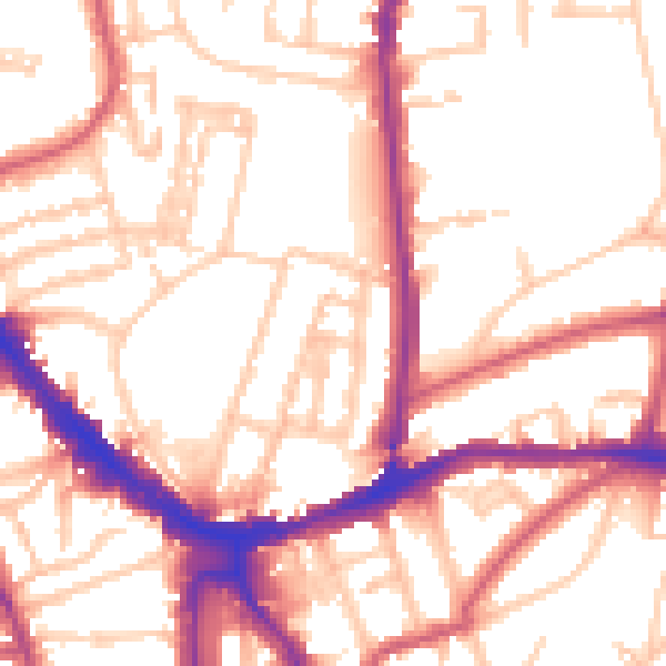
Daytime· 07:00 – 23:00
54.1dB

Night-time· 23:00 – 07:00
44.5dB