1 Fergus Road, Islington, London, N5 1JS
About 1 Fergus Road
1 Fergus Road is a two-bedroom end-of-terrace house in Islington, London, London (N5 1JS). It has a recorded floor area of 109 m² (around 1173 sq ft), construction records dating it to before 1900 and council tax band G. The latest certificate (May 2017) shows a D (score 55), a step below the typical UK home. The recommended improvements would lift it to B (score 84), a 2-band jump. Period features are noted in the property record.
Untraded for 31 years, with the last transfer in October 1995. Only one transfer is on record with HM Land Registry, suggesting it has stayed in the same hands for a long time. Today's modelled estimate of £1,327,000 sits 571.9% above the 1995 sale of £197,500. On a £-per-square-foot basis, the last sale (£168/sq ft) was about 73.5% below the postcode norm. 2 planning records sit against the property, 1 approved, 0 refused. Past consents include an extension, meaningful when judging how the property has evolved. At 109 m² it's 21.6% smaller than the typical home in the postcode (139 m² median across 5 EPCs).
Know exactly what you're buying at 1 Fergus Road
Before you offer, see what the listing won't tell you, the true value, the red flags and the full history.
Valuation
against the asking price
Risks
planning & flood
Sold prices
similar homes nearby
Trends
the local market
What this property has
Inside
- Bedrooms2
- Bathrooms1
- Dining roomYes
Outside
- Private gardenYes
Building
- Period featuresYes
Energy performance
Recommended upgrades on file would lift this property by multiple EPC bands.
EPC Rating
Planning history
Planning history includes recorded demolition works, indicating a major rebuild phase at this address.
- Feb 2005ExtensionOutlineIn report
Extension: Single storey · Rear of property
Certificate of Lawfulness in connection with the proposed demolition of rear extension and replacement with single storey extension and elevational alterations to rear.
- Documents
- 2 docs on file
- Reference
- P043202
- Dec 2004DemolitionOutlineIn report
Extension: Single storey · Rear of property
Certificate of Lawfulness application in connection with proposed demolition of existing rear glazed extension and replacement with a flat roofed single storey extension. Demolition of rear scullery chimney.
Extension- Reference
- P042906
What's in 1 Fergus Road, Islington, London, N5 1JS's planning history?
Refusals, disputes and full decisions on this property and nearby, in the report.
Sales history & valuation
Latest sale on 1 Fergus Road was the lowest on Land Registry record across the postcode.
£1,327,000
Modelled from EPC, postcode comparables.
£197,500
Recorded with HM Land Registry.
Sales timeline
27 October 1995Most recent
£197,500
Median price across the last 5 sales in N5 1JS: £1,550,000 (2021–2012).
Nearby sales in N5 1JS
4 Fergus Road, Islington, London, N5 1JS
Sold Oct 2021
£2,090,0006 Fergus Road, Islington, London, N5 1JS
Sold Nov 2019
£1,550,0002 Fergus Road, Islington, London, N5 1JS
Sold Nov 2015
£1,616,0003 Fergus Road, Islington, London, N5 1JS
Sold Oct 2010
£770,0007 Fergus Road, Islington, London, N5 1JS
Sold Mar 2007
£674,500
Everything we know about 1 Fergus Road, in one report
What it's really worth, what could be wrong, and the planning, sales and area data in full.
- Am I paying too much?
- Is something wrong with it?
- Is the agent's story true?
- Will it hold its value?

Versus other Fergus Road homes
Price per m² for 1 Fergus Road lags the street by a wide margin.
Price per m²
£1,812
Street avg £9,818
Floor Area
109 m²
Street avg 135 m²
Habitable Rooms
4 rooms
Street avg 6 rooms
CO₂ Emissions
5.5 t/year
Street avg 6.5 t/year
Similar properties nearby
1 Horsell Road, Islington
N5 1XL
1 Hurlock Street, Islington
N5 1EQ
1 Century Mews, Islington
N5 1HY
1 Gillespie Road, Islington
N5 1LH
1 Avenell Road, Islington
N5 1DP
1 Elphinstone Street, Islington
N5 1BS
1 Highbury Hill, Islington
N5 1SU
1 De Barowe Mews, Leigh Road, Islington
N5 1SB
The neighbourhood at a glance
Rail-style transport is unusually close for this postcode.
Crime
8/mo
Rising year-on-year across the wider district.
Nearest stop
0.1 km
Highbury Grove Sch /Baalbec Rd — bus stop.
Closest school
0.2 km
City of London Academy Highbury Grove. 100 schools nearby.
Go deeper on the local area
The full report breaks down crime, transport links, schools and air quality in depth.
Road noise across the postcode
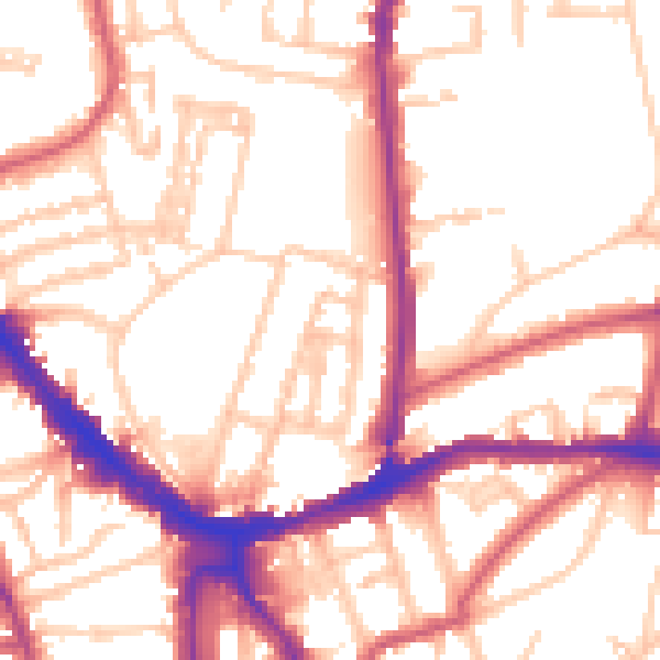
Daytime· 07:00 – 23:00
54.1dB

Night-time· 23:00 – 07:00
44.5dB