15b, Perth Road, Haringey, London, N4 3HB
About 15b
15b is a property in Haringey, London, London (N4 3HB).
Untraded for 21 years, with the last transfer in May 2005.
Know exactly what you're buying at 15b
Before you offer, see what the listing won't tell you, the true value, the red flags and the full history.
Valuation
against the asking price
Risks
planning & flood
Sold prices
similar homes nearby
Trends
the local market
Energy performance
No EPC on record
This property doesn't have an Energy Performance Certificate yet. An EPC is required to sell or let — and unlocks our automated valuation.
Planning history
15b has no planning applications on record.
Notable planning nearby
2applications of note in the surrounding area
Sales history & valuation
£378,000
Recorded with HM Land Registry.
Sales timeline
18 May 2005Most recent
£378,000
Median price across the last 5 sales in N4 3HB: £1,195,000 (2025–2022).
Nearby sales in N4 3HB
Third Floor Flat, 4 Perth Road, London, N4 3HB
Sold May 2025
£345,0003 Perth Road, Haringey, London, N4 3HB
Sold Oct 2023
£1,195,000First Floor Flat, 4 Perth Road, London, N4 3HB
Sold Jun 2023
£355,00034 Perth Road, Haringey, London, N4 3HB
Sold Jan 2023
£1,552,20022 Perth Road, Haringey, London, N4 3HB
Sold Nov 2022
£1,350,000
Everything we know about 15b, in one report
What it's really worth, what could be wrong, and the planning, sales and area data in full.
- Am I paying too much?
- Is something wrong with it?
- Is the agent's story true?
- Will it hold its value?

Similar properties nearby
1 Lenton Terrace, Fonthill Road, Islington
N4 3JJ
1 Charteris Road, Islington
N4 3AA
1 Coleridge Road, Islington
N4 3NY
1 Clifton Court, Biggerstaff Street, Islington
N4 3NH
1 Fonthill Road, Islington
N4 3HY
1 Ironworks Yard, Haringey
N4 3FW
1 Nichols Close, Osborne Road, Haringey
N4 3SB
1 Fenstanton, Marquis Road, Haringey
N4 3AT
The neighbourhood at a glance
Rail-style transport is unusually close for this postcode.
Crime
15/mo
Rising year-on-year across the wider district.
Nearest stop
0.2 km
Tollington Park — bus stop.
Closest school
0.1 km
Stroud Green Primary School. 89 schools nearby.
Go deeper on the local area
The full report breaks down crime, transport links, schools and air quality in depth.
Road noise across the postcode
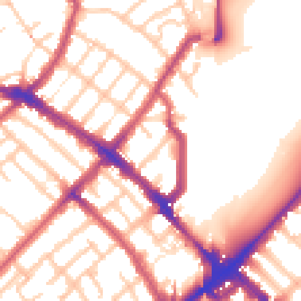
Daytime· 07:00 – 23:00
55.0dB

Night-time· 23:00 – 07:00
45.3dB