127a, Flat 1, St Thomas S Road, Islington, London, N4 2QE
About 127a
127a is a semi-detached house in Islington, London, London (N4 2QE). It has a recorded floor area of 135 m² (around 1453 sq ft) and construction records dating it to before 1900. At 135 m² this is the largest unit on EPC record across 127a (57–135 m²). The building's EPC ratings span D to C, with this unit at the top. On EPC score it ranks first in the building (78 versus a worst of 58). The latest certificate (May 2018) shows a C (score 78), near the top of the C band. The rating has held steady at C across 2 certificates since August 2013. Between certificates, wall efficiency went from Poor to Very Good and lighting went from Good to Very Good; while window efficiency dropped from Good to Average.
At 135 m² the property is well over the postcode median (66 m² across 6 EPCs), placing it in the larger end of the local stock. One planning record on file: new windows approved in 2015. Past consents include new windows, meaningful when judging how the property has evolved.
Know exactly what you're buying at 127a
Before you offer, see what the listing won't tell you, the true value, the red flags and the full history.
Already flagged here
Valuation
against the asking price
Risks
planning & flood
Sold prices
similar homes nearby
Trends
the local market
Energy performance
EPC Rating
Property Improvements
Changes detected from historical EPC data
Heating controls upgraded for better temperature management
Wall insulation improved
More low energy lighting installed
Planning history
- Apr 2015RenovationFullIn report
Instllation of 3 openable windows into flat 1 on the west elevation of the building at ground facing onto the Quill Street Allotments.
New Windows- Documents
- 14 docs on file
- Reference
- P2015/0853/FUL
We flagged 1 thing worth checking at 127a
Independent checks surfaced things a buyer would want to understand before offering. The report explains each one in full, with the underlying data and what to ask.
- Larger development activity nearby
30-day money-back guarantee
Sales history & valuation
127a has no Land Registry sales on file, suggesting it has stayed in the same hands since registration began.
£1,245,000
Modelled from EPC, postcode comparables.
No sales recorded with HM Land Registry
That can mean the property has never traded since the registry began publishing in 1995, was a new build that hasn't been registered yet, or is held in the same hands long-term.
Everything we know about 127a, in one report
What it's really worth, what could be wrong, and the planning, sales and area data in full.
What we flagged
- Larger development activity nearby

Versus other St Thomas S Road homes
On epc rating, 127a stands well clear of the street.
EPC Rating
78 (C)
Street avg 69 (D)
Floor Area
135 m²
Street avg 72 m²
CO₂ Emissions
2.9 t/year
Street avg 2.7 t/year
Habitable Rooms
3 rooms
Street avg 3 rooms
Similar properties nearby
11 Azure Apartments, Dragonfly Walk, Hackney
N4 2WS
13 Pennant Apartments, Devan Grove, Hackney
N4 2UZ
10 Azure Apartments, Dragonfly Walk, Hackney
N4 2WS
127a, Flat 2, St Thomas S Road, Islington
N4 2QE
127a, Flat 4, St Thomas S Road, Islington
N4 2QE
12 Azure Apartments, Dragonfly Walk, Hackney
N4 2WS
11 13, Flat A, Rock Street
N4 2DN
127a, Flat 7, St Thomas S Road, Islington
N4 2QE
The neighbourhood at a glance
Rail-style transport is unusually close for this postcode.
Crime
15/mo
Rising year-on-year across the wider district.
Nearest stop
0.3 km
Isledon Road — bus stop.
Closest school
0.3 km
Ambler Primary School and Children's Centre. 96 schools nearby.
Go deeper on the local area
The full report breaks down crime, transport links, schools and air quality in depth.
Road noise across the postcode
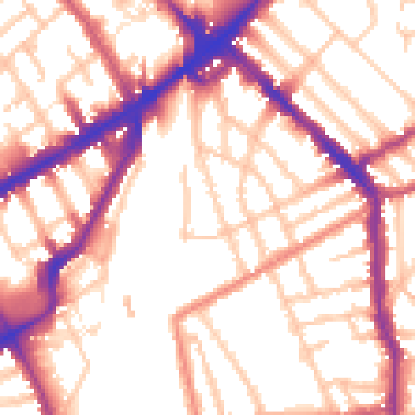
Daytime· 07:00 – 23:00
54.8dB
Night-time· 23:00 – 07:00
45.7dB