Flat 2, 39 Brownswood Road, Hackney, London, N4 2HP
About Flat 2
Flat 2 is a mid-terrace house in Hackney, London, London (N4 2HP). It has a recorded floor area of 55 m² (around 592 sq ft), construction records dating it to 1900-1929 and council tax band D. At 55 m² this is the 4th smallest of 5 units on EPC record in the building, where floor areas span 48–58 m². The building's EPC ratings span D to B, with this unit at the bottom. The latest certificate (November 2015) shows a D (score 68), on the cusp of jumping into the C band. The recommended improvements would lift it to B (score 82), a 2-band jump. The latest certificate is from November 2015, so improvements made since then won't be reflected.
Across 2017–2023, sale prices on this property compounded at 1.5% per year. On a £-per-square-foot basis, the last sale (£1,098/sq ft) was about 114.6% above the typical sold price in the postcode. Most recent transfer: August 2023 at £650,000.
Know exactly what you're buying at Flat 2
Before you offer, see what the listing won't tell you, the true value, the red flags and the full history.
Already flagged here
Valuation
against the asking price
Risks
planning & flood
Sold prices
similar homes nearby
Trends
the local market
Energy performance
Recommended upgrades on file would lift this property by multiple EPC bands.
EPC Expired
This certificate is over 10 years old and is no longer valid.Expired 21 Nov 2025
EPC Rating
Planning history
Flat 2 has no planning applications on record.
Notable planning nearby
4applications of note in the surrounding area
We flagged 1 thing worth checking at Flat 2
Independent checks surfaced things a buyer would want to understand before offering. The report explains each one in full, with the underlying data and what to ask.
- Larger development activity nearby
30-day money-back guarantee
Sales history & valuation
Flat 2 valuation sits well clear of the typical sold price in this postcode.
£654,000
Modelled from EPC, postcode comparables and a sale-price growth of 1.5% per year over 7 years.
£650,000
Growth on file: 1.5% per year over 7 years.
Sales timeline
23 August 2023Most recent
£650,000
+10.5%over 6 years9 January 2017
£588,000
Median price across the last 5 sales in N4 2HP: £552,000 (2025–2024).
Nearby sales in N4 2HP
Second Floor Flat, 27 Brownswood Road, London, N4 2HP
Sold Jun 2025
£513,750Flat 1, 39 Brownswood Road, Hackney, London, N4 2HP
Sold May 2025
£517,500Flat C, 17 Brownswood Road, Hackney, London, N4 2HP
Sold Feb 2025
£771,500Flat C, 29 Brownswood Road, London, N4 2HP
Sold Nov 2024
£552,00035 Brownswood Road, Hackney, London, N4 2HP
Sold Aug 2024
£555,000
Everything we know about Flat 2, in one report
What it's really worth, what could be wrong, and the planning, sales and area data in full.
What we flagged
- Larger development activity nearby

Versus other Brownswood Road homes
Price per m² for Flat 2 runs comfortably ahead of the street norm.
Price per m²
£11,818
Street avg £6,930
Floor Area
55 m²
Street avg 65 m²
Habitable Rooms
3 rooms
Street avg 3 rooms
CO₂ Emissions
2.2 t/year
Street avg 2.6 t/year
Similar properties nearby
127a, Flat 4, St Thomas S Road, Islington
N4 2QE
12 Azure Apartments, Dragonfly Walk, Hackney
N4 2WS
11 13, Flat A, Rock Street
N4 2DN
127a, Flat 7, St Thomas S Road, Islington
N4 2QE
127a, Flat 2, St Thomas S Road, Islington
N4 2QE
13 Azure Apartments, Dragonfly Walk, Hackney
N4 2WS
1 Pennant Apartments, Devan Grove, Hackney
N4 2UZ
10 Pennant Apartments, Devan Grove, Hackney
N4 2UZ
The neighbourhood at a glance
Rail-style transport is unusually close for this postcode.
Crime
15/mo
Rising year-on-year across the wider district.
Nearest stop
0.1 km
Brownswood Road / Green Lanes — bus stop.
Closest school
0.4 km
Parkwood Primary School. 93 schools nearby.
Go deeper on the local area
The full report breaks down crime, transport links, schools and air quality in depth.
Road noise across the postcode
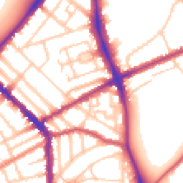
Daytime· 07:00 – 23:00
54.7dB

Night-time· 23:00 – 07:00
44.8dB