Redbourn Court, Flat 17, 4 Sim Street, Hackney, London, N4 2GW
About Redbourn Court
Redbourn Court is a detached house in Hackney, London, London (N4 2GW). It has a recorded floor area of 65 m² (around 700 sq ft). The latest certificate (June 2017) returns a B (score 82), comfortably above the UK average. At 65 m² this is the 9th smallest of 24 units on EPC record in Redbourn Court, where floor areas span 48–102 m².
Know exactly what you're buying at Redbourn Court
Before you offer, see what the listing won't tell you, the true value, the red flags and the full history.
Already flagged here
Valuation
against the asking price
Risks
planning & flood
Sold prices
similar homes nearby
Trends
the local market
Energy performance
Redbourn Court's carbon output is low for the local stock.
EPC Rating
Planning history
Redbourn Court has no planning applications on record.
Notable planning nearby
4applications of note in the surrounding area
We flagged 1 thing worth checking at Redbourn Court
Independent checks surfaced things a buyer would want to understand before offering. The report explains each one in full, with the underlying data and what to ask.
- Larger development activity nearby
30-day money-back guarantee
Sales history & valuation
Redbourn Court has no Land Registry sales on file, suggesting it has stayed in the same hands since registration began.
£529,000
Modelled from EPC, postcode comparables.
No sales recorded with HM Land Registry
That can mean the property has never traded since the registry began publishing in 1995, was a new build that hasn't been registered yet, or is held in the same hands long-term.
Everything we know about Redbourn Court, in one report
What it's really worth, what could be wrong, and the planning, sales and area data in full.
What we flagged
- Larger development activity nearby

Versus other Sim Street homes
EPC Rating for Redbourn Court lags the street by a wide margin.
EPC Rating
82 (B)
Street avg 84 (B)
Floor Area
65 m²
Street avg 71 m²
CO₂ Emissions
0.7 t/year
Street avg 0.7 t/year
Similar properties nearby
12 Pennant Apartments, Devan Grove, Hackney
N4 2UZ
10 Pennant Apartments, Devan Grove, Hackney
N4 2UZ
11 Pennant Apartments, Devan Grove, Hackney
N4 2UZ
1 Pennant Apartments, Devan Grove, Hackney
N4 2UZ
127a, Flat 5, St Thomas S Road, Islington
N4 2QE
13 Azure Apartments, Dragonfly Walk, Hackney
N4 2WS
11 13, Flat B, Rock Street
N4 2DN
11 13, Flat C, Rock Street
N4 2DN
The neighbourhood at a glance
Reported crime in the wider district is trending notably upward year-on-year.
Crime
15/mo
Rising year-on-year across the wider district.
Nearest stop
0.1 km
Brownswood Road / Green Lanes — bus stop.
Closest school
0.5 km
Parkwood Primary School. 95 schools nearby.
Go deeper on the local area
The full report breaks down crime, transport links, schools and air quality in depth.
Road noise across the postcode
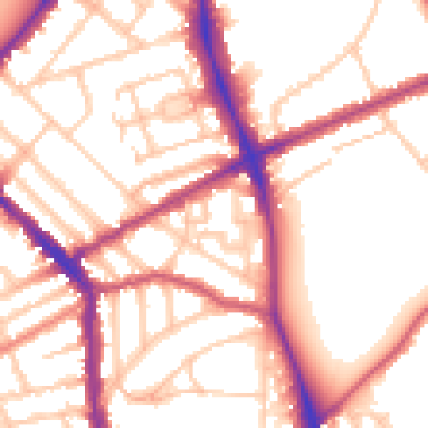
Daytime· 07:00 – 23:00
54.2dB

Night-time· 23:00 – 07:00
44.3dB