27 St Georges Road, Enfield, London, N13 4AT
About 27 St Georges Road
27 St Georges Road is a two-bedroom mid-terrace house in Enfield, London, London (N13 4AT). It has a recorded floor area of 118 m² (around 1270 sq ft), construction records dating it to 1930-1949 and council tax band E. The latest certificate (February 2025) shows a C (score 73). When first surveyed in October 2009 the rating was F, the property has climbed 3 bands since. Between certificates, roof efficiency went from Very Poor to Average, hot-water efficiency went from Poor to Good and lighting went from Average to Very Good. The recommended improvements would push it to B (score 88).
Held since September 2006 — that's 20 years off the open market, well above the local norm. On energy efficiency it sits in the top 10% of properties in this postcode. Across 2000–2006, sale prices on this property compounded at 14% per year. Today's modelled estimate of £674,000 sits 147.3% above the 2006 sale of £272,500. On a £-per-square-foot basis, the last sale (£215/sq ft) was about 54.7% below the postcode norm. One planning record on file: an extension approved in 2014. Past consents include an extension, meaningful when judging how the property has evolved.
Know exactly what you're buying at 27 St Georges Road
Before you offer, see what the listing won't tell you, the true value, the red flags and the full history.
Already flagged here
Launch offer · save £5
Valuation
against the asking price
Risks
planning & flood
Sold prices
similar homes nearby
Trends
the local market
What this property has
Inside
- Bedrooms2
Energy performance
27 St Georges Road ranks among the most efficient homes in the postcode for energy use.
EPC Rating
Property Improvements
Changes detected from historical EPC data
Replaced storage heaters with gas boiler
Connected to mains gas supply
Heating controls upgraded for better temperature management
Hot water system upgraded
Roof insulation improved
More low energy lighting installed
Planning history
- Oct 2014ExtensionOutlineIn report
Extension: Single storey · Rear of property
Single storey rear extension, rear dormer with patio doors and balustrade, 3 x roof lights at front.
- Documents
- 4 docs on file
- Reference
- P14-02205LDC
We flagged 1 thing worth checking at 27 St Georges Road
Independent checks surfaced things a buyer would want to understand before offering. The report explains each one in full, with the underlying data and what to ask.
- Signs of HMO activity in the area
30-day money-back guarantee
Sales history & valuation
Sale price has at least doubled since 2000.
£674,000
Modelled from EPC, postcode comparables and a sale-price growth of 14.0% per year over 6 years.
£272,500
Growth on file: 14.0% per year over 6 years.
Sales timeline
21 September 2006Most recent
£272,500
+115.4%over 5 years10 November 2000
£126,500
Median price across the last 5 sales in N13 4AT: £775,000 (2025–2022).
Nearby sales in N13 4AT
5 St Georges Road, Enfield, London, N13 4AT
Sold Sept 2025
£535,0003 St Georges Road, Enfield, London, N13 4AT
Sold Oct 2023
£775,00021 St Georges Road, Enfield, London, N13 4AT
Sold Apr 2023
£904,00033 St Georges Road, Enfield, London, N13 4AT
Sold Aug 2022
£997,50011 St Georges Road, Enfield, London, N13 4AT
Sold May 2021
£955,000
Everything we know about 27 St Georges Road, in one report
What it's really worth, what could be wrong, and the planning, sales and area data in full.
What we flagged
- Signs of HMO activity in the area

Versus other St Georges Road homes
On co₂ emissions, 27 St Georges Road stands well clear of the street.
Price per m²
£2,309
Street avg £5,518
Floor Area
118 m²
Street avg 133 m²
Habitable Rooms
7 rooms
Street avg 6 rooms
CO₂ Emissions
3.1 t/year
Street avg 5.9 t/year
Similar properties nearby
1 Lucerne Close, Enfield
N13 4QJ
1 Kelvin Avenue, Enfield
N13 4TH
1 Devonshire Road, Enfield
N13 4QU
1 Eaton Park Court, Eaton Park Road, Enfield
N13 4EJ
1 Ashridge Gardens, Enfield
N13 4JY
1 Lytton Avenue, Enfield
N13 4EH
1 Broomfield Court, Broomfield Road, Enfield
N13 4NL
1 Davey Close, Enfield
N13 4EX
The neighbourhood at a glance
Rail-style transport is unusually close for this postcode.
Crime
7/mo
Rising year-on-year across the wider district.
Nearest stop
0.7 km
Bourne Hill — bus stop.
Closest school
0.6 km
St Monica's RC Primary School. 47 schools nearby.
Go deeper on the local area
The full report breaks down crime, transport links, schools and air quality in depth.
Road noise across the postcode
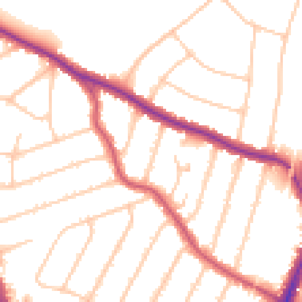
Daytime· 07:00 – 23:00
50.3dB

Night-time· 23:00 – 07:00
40.8dB