19 Lancaster Road, Enfield, London, N11 2TB
About 19 Lancaster Road
19 Lancaster Road is a mid-terrace house in Enfield, London, London (N11 2TB). It has a recorded floor area of 131 m² (around 1410 sq ft), construction records dating it to 1900-1929 and council tax band E. The latest certificate (July 2021) shows a D (score 58), a step below the typical UK home. The recommended improvements would lift it to B (score 86), a 2-band jump.
Everything you need to know about 19 Lancaster Road
The true value, the hidden risks and the full sale history, in one report.
30-day money-back guarantee

The data behind every report


Energy performance
19 Lancaster Road's carbon output runs well above what efficient homes in the postcode produce.
EPC Rating
Planning history
19 Lancaster Road has no planning applications on record.
Notable planning nearby
20applications of note in the surrounding area
We flagged 2 things worth checking at 19 Lancaster Road
Independent checks surfaced things a buyer would want to understand before offering. The report explains each one in full, with the underlying data and what to ask.
- Signs of HMO activity in the area
- Larger development activity nearby
30-day money-back guarantee
Sales history & valuation
19 Lancaster Road has no Land Registry sales on file, suggesting it has stayed in the same hands since registration began.
£741,000
Modelled from EPC, postcode comparables.
No sales recorded with HM Land Registry
That can mean the property has never traded since the registry began publishing in 1995, was a new build that hasn't been registered yet, or is held in the same hands long-term.
Median price across the last 5 sales in N11 2TB: £705,000 (2025–2018).
Nearby sales in N11 2TB
14 Lancaster Road, Enfield, London, N11 2TB
Sold Jul 2025
£810,10025 Lancaster Road, Enfield, London, N11 2TB
Sold Oct 2024
£750,0001 Lancaster Road, Enfield, London, N11 2TB
Sold Apr 2024
£530,0007 Lancaster Road, Enfield, London, N11 2TB
Sold May 2022
£700,00018 Lancaster Road, Enfield, London, N11 2TB
Sold Aug 2018
£705,000
Versus other Lancaster Road homes
Floor Area for 19 Lancaster Road runs comfortably ahead of the street norm.
EPC Rating
58 (D)
Street avg 61 (D)
Floor Area
131 m²
Street avg 116 m²
CO₂ Emissions
6.1 t/year
Street avg 5.1 t/year
Habitable Rooms
6 rooms
Street avg 5 rooms
Everything you need to know about 19 Lancaster Road
The true value, the hidden risks and the full sale history, in one report.
30-day money-back guarantee
The data behind every report
Similar properties nearby
1 Lower Maidstone Road, Enfield
N11 2RU
1 Passmore Gardens, Haringey
N11 2PE
1 Edith Road, Haringey
N11 2QW
1 Bosworth Road, Enfield
N11 2SY
1 Lancaster Road, Enfield
N11 2TB
1 Fletton Road, Haringey
N11 2QL
1 Durnsford Road, Haringey
N11 2EP
1 Hastings Road, Enfield
N11 2RJ
The neighbourhood at a glance
Rail-style transport is unusually close for this postcode.
Crime
5/mo
Rising year-on-year across the wider district.
Nearest stop
0.2 km
York Road (N11) — bus stop.
Closest school
0.3 km
Bowes Primary School. 55 schools nearby.
Go deeper on the local area
The full report breaks down crime, transport links, schools and air quality in depth.
Road noise across the postcode
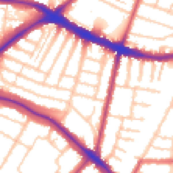
Daytime· 07:00 – 23:00
55.0dB

Night-time· 23:00 – 07:00
45.5dB