11 Gordon Road, Haringey, London, N11 2PA
About 11 Gordon Road
11 Gordon Road is a property in Haringey, London, London (N11 2PA). It has council tax band F.
It hasn't traded since August 2005, a hold of 21 years that's notably long for the area. 2 planning records sit against the property, 1 approved, 0 refused. Past consents include an extension, meaningful when judging how the property has evolved. Across 2002–2005, sale prices on this property compounded at 22.8% per year.
Everything you need to know about 11 Gordon Road
The true value, the hidden risks and the full sale history, in one report.
30-day money-back guarantee

The data behind every report


Energy performance
No EPC on record
This property doesn't have an Energy Performance Certificate yet. An EPC is required to sell or let — and unlocks our automated valuation.
Planning history
Planning history includes both a loft conversion and an extension — the classic family-home expansion.
- Sept 2009Loft ConversionOutlineIn report
Alteration of roof from hip to gable end, erection of rear dormer window and insertion of 2 x velux windows to front roofslope.
- Documents
- 21 docs on file
- Reference
- HGY/2009/1267
- Sept 2009ExtensionFullIn report
Extension: Rear of property
Erection of rear extension at ground and first floor levels.
- Documents
- 26 docs on file
- Reference
- HGY/2009/1266
We flagged 2 things worth checking at 11 Gordon Road
Independent checks surfaced things a buyer would want to understand before offering. The report explains each one in full, with the underlying data and what to ask.
- Signs of HMO activity in the area
- Larger development activity nearby
30-day money-back guarantee
Sales history & valuation
£435,000
Growth on file: 22.8% per year over 3 years.
Sales timeline
11 August 2005Most recent
£435,000
+84.3%over 2 years19 August 2002
£236,000
Median price across the last 5 sales in N11 2PA: £415,000 (2016–2001).
Everything you need to know about 11 Gordon Road
The true value, the hidden risks and the full sale history, in one report.
30-day money-back guarantee
The data behind every report
Similar properties nearby
1 Ollerton Road, Enfield
N11 2JY
1 Hastings Road, Enfield
N11 2RJ
1 Lancaster Road, Enfield
N11 2TB
1 Bosworth Road, Enfield
N11 2SY
1 Lower Maidstone Road, Enfield
N11 2RU
1 Passmore Gardens, Haringey
N11 2PE
1 Edith Road, Haringey
N11 2QW
1 Fletton Road, Haringey
N11 2QL
The neighbourhood at a glance
Rail-style transport is unusually close for this postcode.
Crime
5/mo
Rising year-on-year across the wider district.
Nearest stop
0.1 km
Woodfield Way — bus stop.
Closest school
0.2 km
Bounds Green Junior School. 60 schools nearby.
Go deeper on the local area
The full report breaks down crime, transport links, schools and air quality in depth.
Road noise across the postcode
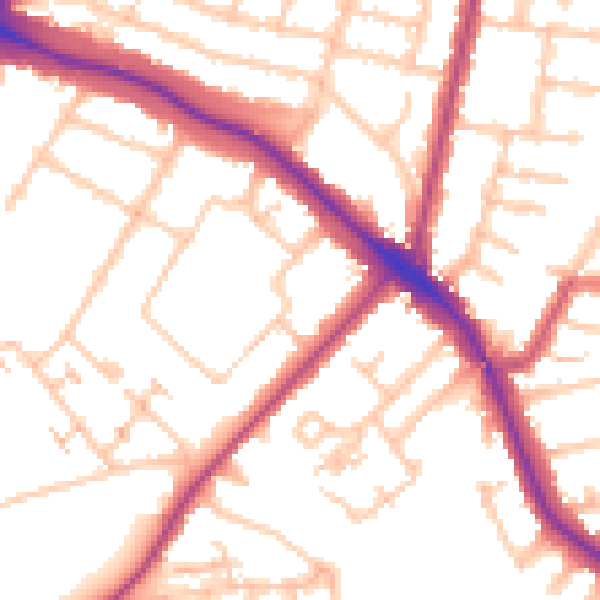
Daytime· 07:00 – 23:00
53.1dB

Night-time· 23:00 – 07:00
43.2dB