19 Blake Road, Haringey, London, N11 2AD
About 19 Blake Road
19 Blake Road is a three-bedroom mid-terrace house in Haringey, London, London (N11 2AD). It has a recorded floor area of 155 m² (around 1668 sq ft), construction records dating it to 1930-1949 and council tax band E. The latest certificate (January 2025) shows a D (score 66), on the cusp of jumping into the C band. The recommended improvements would push it to C (score 77). Period features are noted in the property record.
It hasn't traded since August 2008, a hold of 18 years that's notably long for the area. That sale landed at the peak of the pre-credit-crunch market, which is a useful reference point when interpreting the price. Across 2000–2008, sale prices on this property compounded at 10.4% per year. Today's modelled estimate of £904,000 sits 119.2% above the 2008 sale of £412,500. One planning record on file: an extension approved in 2016. Past consents include an extension, meaningful when judging how the property has evolved.
What this property has
Inside
- Bedrooms3
- Dining roomYes
Outside
- Private gardenRear
Building
- Period featuresYes
Everything you need to know about 19 Blake Road
The true value, the hidden risks and the full sale history, in one report.
30-day money-back guarantee

The data behind every report


Energy performance
19 Blake Road's carbon output runs well above what efficient homes in the postcode produce.
EPC Rating
Planning history
19 Blake Road has an approved single-storey rear extension on the planning record.
- May 2016ExtensionOutlineIn report
Extension: Single storey · Rear of property
Erection of single storey extension which extends beyond the rear wall of the original house by 4.78m, for which the maximum height would be 2.95m and for which the height of the eaves would be 2.95m
- Documents
- 7 docs on file
- Reference
- HGY/2016/1163
We flagged 2 things worth checking at 19 Blake Road
Independent checks surfaced things a buyer would want to understand before offering. The report explains each one in full, with the underlying data and what to ask.
- Signs of HMO activity in the area
- Larger development activity nearby
30-day money-back guarantee
Sales history & valuation
Sale price has at least doubled since 2000.
£904,000
Modelled from EPC, postcode comparables and a sale-price growth of 10.4% per year over 8 years.
£412,500
Growth on file: 10.4% per year over 8 years.
Sales timeline
28 August 2008Most recent
£412,500
+129.2%over 8 years12 April 2000
£180,000
Median price across the last 5 sales in N11 2AD: £675,000 (2021–2014).
Nearby sales in N11 2AD
5 Blake Road, Haringey, London, N11 2AD
Sold Sept 2021
£30,0007 Blake Road, Haringey, London, N11 2AD
Sold Oct 2019
£956,82021 Blake Road, Haringey, London, N11 2AD
Sold May 2017
£1,000,000Potters Court 1a, 1, Blake Road, Haringey, London, N11 2AD
Sold May 2017
£500,00013 Blake Road, Haringey, London, N11 2AD
Sold Aug 2010
£418,900
Versus other Blake Road homes
19 Blake Road outperforms the street on years held by a wide margin.
Price per m²
£2,661
Street avg £3,574
Floor Area
155 m²
Street avg 158 m²
Habitable Rooms
7 rooms
Street avg 6 rooms
CO₂ Emissions
6.1 t/year
Street avg 3.6 t/year
Everything you need to know about 19 Blake Road
The true value, the hidden risks and the full sale history, in one report.
30-day money-back guarantee
The data behind every report
Similar properties nearby
1 Hastings Road, Enfield
N11 2RJ
1 Bosworth Road, Enfield
N11 2SY
1 Lower Maidstone Road, Enfield
N11 2RU
1 Herbert Road, Haringey
N11 2QN
1 Ollerton Road, Enfield
N11 2JY
1 Bexhill Road, Enfield
N11 2RG
1 Fletton Road, Haringey
N11 2QL
1 Eleanor Road, Haringey
N11 2QS
The neighbourhood at a glance
Rail-style transport is unusually close for this postcode.
Crime
5/mo
Rising year-on-year across the wider district.
Nearest stop
0.2 km
Warwick Road (N11) — bus stop.
Closest school
0.2 km
St Martin of Porres Catholic Primary School. 59 schools nearby.
Go deeper on the local area
The full report breaks down crime, transport links, schools and air quality in depth.
Road noise across the postcode
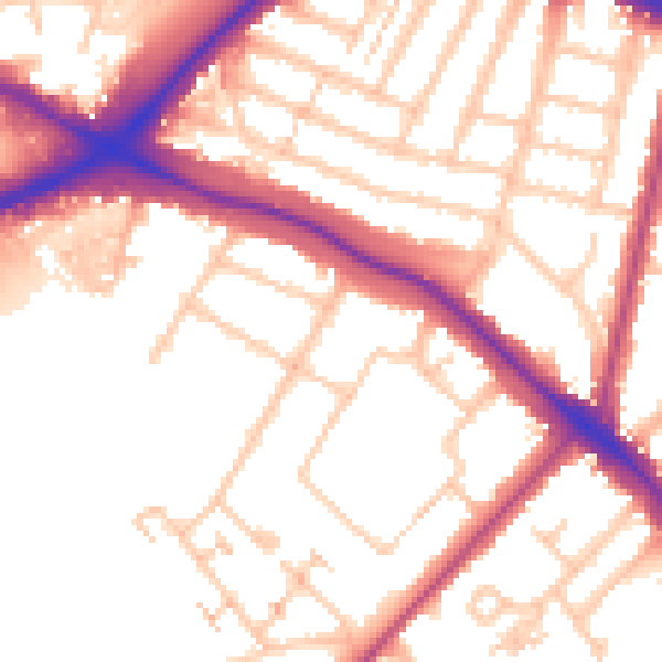
Daytime· 07:00 – 23:00
54.0dB

Night-time· 23:00 – 07:00
44.9dB