Are you a property professional?Get qualified leads from motivated homeowners.
Get started12 Rydon Street, Islington, London, N1 7AL
4 sales on record
About 12 Rydon Street
A plain-English summary derived from public records, EPC certificates, sold prices and local data.
12 Rydon Street is a three-bedroom mid-terrace house in Islington, London, London (N1 7AL). It has a recorded floor area of 135 m² (around 1453 sq ft), construction records dating it to before 1900 and council tax band G. The latest certificate (March 2018) shows an E (score 48), well below the UK norm with real room to improve. The recommended improvements would lift it to C (score 76), a 2-band jump. The home occupies a cul-de-sac position.
Sale prices here have outpaced London HPI: 8.2% per year against 0% for the wider region. Today's modelled estimate of £1,658,000 is 26.2% above the 2018 sale price. On a £-per-square-foot basis, the last sale (£904/sq ft) was about 43.9% above the typical sold price in the postcode. Sold July 2018 for £1,314,000. Across the public record there are 4 sales, relatively high churn for a single property. One planning record on file: an extension approved in 2019. Past consents include an extension and partial demolition, meaningful when judging how the property has evolved. It lags the bulk of the postcode on energy efficiency (less efficient than 83% of similar EPCs).
What this property has
Pulled from EPC certificates, claim submissions and our property model. Empty categories are hidden — we only show what's known.
Inside
- Bedrooms3
Outside
- Private gardenYes
- Cul-de-sacYes
Energy performance
Every EPC certificate filed against this property — current rating, recorded improvements, and where there's headroom to reach a higher band.
12 Rydon Street's carbon output runs well above what efficient homes in the postcode produce.
EPC Rating
A
B
C
D
E
E48
F
G
Main Heating
Gas
Main Fuel
Gas
Hot Water
Good
Windows
Very Poor
CO2 Emissions
8.2 t/year
Occupancy
Owner Occupied
Planning history
Applications and permits filed against 12 Rydon Street, Islington, London, N1 7AL, sourced from the PlanIt planning register.
Planning history includes recorded demolition works, indicating a major rebuild phase at this address.
- Oct 2019DemolitionFullApprove with conditions
Erection of a single storey full-width lower ground floor extension and part-width ground floor extension above (following demolition of existing single storey rear extension and removal of a timber suspended floor at lower ground floor level)
Sales history & valuation
Recorded transactions, our model's current estimate, and a quick read on what neighbouring properties have sold for.
12 Rydon Street has more than quadrupled in price since its earliest registered sale in 1995.
Current estimate
See how we calculated this£1,658,000
Modelled from EPC, postcode comparables and a sale-price growth of 8.2% per year over 23 years.
Last sold (2018)
£1,314,000
Growth on file: 8.2% per year over 23 years.
Sales timeline
Versus other Rydon Street homes
Four headline reads against 11 similar houses on this street, drawn from the latest EPC and Land Registry data.
12 Rydon Street is notably below the street on co₂ emissions.
Price per m²
£9,733
Street avg £8,769
Floor Area
135 m²
Street avg 130 m²
Habitable Rooms
5 rooms
Street avg 5 rooms
Similar properties nearby
A handful of close matches in the same postcode area, ranked by likeness on bedrooms, type and floor area.
The neighbourhood at a glance
A condensed read of the local area. Each tile links through to the full breakdown on the London district page.
Rail-style transport is unusually close for this postcode.
Crime
10/mo
Rising year-on-year across the wider district.
Nearest stop
0.1 km
Basire Street — bus stop.
Road noise across the postcode
Modelled day and night-time noise levels around N1 7AL from Defra's strategic mapping. The pin marks this postcode's centroid.
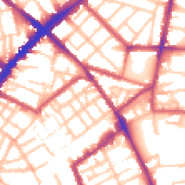
Daytime· 07:00 – 23:00
55.9dB

Everything within walking distance
Schools, transport stops and scenic spots near this property — 131 points of interest in total.
Beautiful places to visit nearby
Curated scenic spots within reach of this postcode, served by Beautifulplaces.ai. Photography and tagging come from their open dataset.
Common questions
The questions buyers, sellers and homeowners most often ask about 12 Rydon Street, Islington, London, N1 7AL. Each answer is also embedded as structured data for search engines.