5 Caldewell, Two Mile Ash, Milton Keynes, MK8 8BY
About 5 Caldewell
5 Caldewell is a detached house in Two Mile Ash, Milton Keynes, Milton Keynes (MK8 8BY). It has a recorded floor area of 75 m² (around 807 sq ft), construction records dating it to 1983-1990 and council tax band D. The latest certificate (May 2019) shows a C (score 72). The recommended improvements would push it to B (score 86).
Everything you need to know about 5 Caldewell
The true value, the hidden risks and the full sale history, in one report.
30-day money-back guarantee

The data behind every report


Energy performance
EPC Rating
Planning history
5 Caldewell has no planning applications on record.
The full report still covers planning activity across the surrounding area.
Sales history & valuation
5 Caldewell has no Land Registry sales on file, suggesting it has stayed in the same hands since registration began.
£366,000
Modelled from EPC, postcode comparables.
No sales recorded with HM Land Registry
That can mean the property has never traded since the registry began publishing in 1995, was a new build that hasn't been registered yet, or is held in the same hands long-term.
Median price across the last 5 sales in MK8 8BY: £188,000 (2024–2002).
Nearby sales in MK8 8BY
3 Caldewell, Two Mile Ash, Milton Keynes, MK8 8BY
Sold Feb 2024
£383,0006 Caldewell, Two Mile Ash, Milton Keynes, MK8 8BY
Sold Oct 2016
£348,0007 Caldewell, Two Mile Ash, Milton Keynes, MK8 8BY
Sold Mar 2006
£188,0002 Caldewell, Two Mile Ash, Milton Keynes, MK8 8BY
Sold Jul 2003
£180,0001 Caldewell, Two Mile Ash, Milton Keynes, MK8 8BY
Sold Oct 2002
£179,995
Versus other Caldewell homes
On floor area, 5 Caldewell runs well behind the street norm.
EPC Rating
72 (C)
Street avg 70 (C)
Floor Area
75 m²
Street avg 117 m²
CO₂ Emissions
2.6 t/year
Street avg 3.8 t/year
Habitable Rooms
4 rooms
Street avg 5 rooms
Everything you need to know about 5 Caldewell
The true value, the hidden risks and the full sale history, in one report.
30-day money-back guarantee
The data behind every report
Similar properties nearby
1 Caldewell, Two Mile Ash
MK8 8BY
1 Cherleton, Two Mile Ash
MK8 8LL
1 Calewen, Two Mile Ash
MK8 8LP
1 Atherstone Court, Two Mile Ash
MK8 8AE
1 Burewelle, Two Mile Ash
MK8 8LS
1 Garston, Two Mile Ash
MK8 8ET
1 Astlethorpe, Two Mile Ash
MK8 8EJ
1 Farinton, Two Mile Ash
MK8 8ES
The neighbourhood at a glance
Crime
3/mo
Steady year-on-year across the wider district.
Nearest stop
0.1 km
The High Street West — bus stop.
Closest school
0.1 km
Ashbrook School. 24 schools nearby.
Go deeper on the local area
The full report breaks down crime, transport links, schools and air quality in depth.
Road noise across the postcode
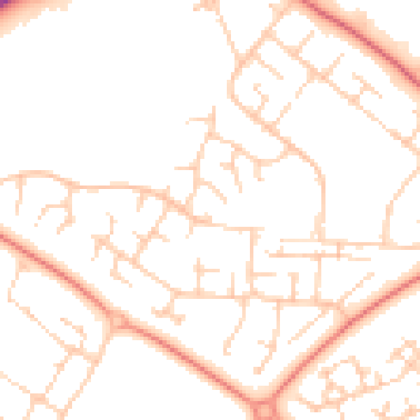
Daytime· 07:00 – 23:00
50.2dB

Night-time· 23:00 – 07:00
38.6dB