Paradise Farm, The Causeway, Clophill, Bedford, MK45 4BA
About Paradise Farm
Paradise Farm is a property in Clophill, Bedford, Bedford (MK45 4BA).
12 planning records sit against the property, 5 approved, 5 refused, 1 pending. An application is currently awaiting a decision. Last sale on file: £50,000 in February 2020.
Know exactly what you're buying at Paradise Farm
Before you offer, see what the listing won't tell you, the true value, the red flags and the full history.
Already flagged here
Valuation
against the asking price
Risks
planning & flood
Sold prices
similar homes nearby
Trends
the local market
Energy performance
No EPC on record
This property doesn't have an Energy Performance Certificate yet. An EPC is required to sell or let — and unlocks our automated valuation.
Planning history
There is a planning application currently awaiting a decision.
- Jan 2025FullIn report
Use of the land for the siting of one permanent residential Gypsy and Traveller mobile home, 1 touring caravan, parking, associated groundworks and landscaping to include retention of existing day room, concrete base, permeable stone surfacing and gated vehicular access.
Retrospective- Documents
- 27 docs on file
- Reference
- CB/25/00297/FULL
- Dec 2025ConditionsIn report
Part Discharge of Condition 4i against planning appeal ref. APP/P0240/W/23/3327577 and planning permission CB/22/02081/FULL (The stationing of two additional mobile homes for residential purposes, a larger dayroom and area of hardstand ancillary to that use in association with the existing gypsy/traveller pitch granted planning permission on 4 September 2019)
- Documents
- 13 docs on file
- Reference
- CB/25/01585/DOC
We flagged 2 things worth checking at Paradise Farm
Independent checks surfaced things a buyer would want to understand before offering. The report explains each one in full, with the underlying data and what to ask.
- Larger development activity nearby
- A planning decision worth checking
30-day money-back guarantee
Sales history & valuation
Latest sale on Paradise Farm was the lowest on Land Registry record across the postcode.
£50,000
Recorded with HM Land Registry.
Sales timeline
19 February 2020Most recent
£50,000
Median price across the last 5 sales in MK45 4BA: £485,000 (2021–2015).
Nearby sales in MK45 4BA
12 The Causeway, Clophill, Bedford, MK45 4BA
Sold Mar 2021
£715,0007 The Causeway, Clophill, Bedford, MK45 4BA
Sold Mar 2021
£485,0006 The Causeway, Clophill, Bedford, MK45 4BA
Sold Oct 2020
£327,50015 The Causeway, Clophill, Bedford, MK45 4BA
Sold Jul 2017
£515,0008 The Causeway, Clophill, Bedford, MK45 4BA
Sold May 2015
£365,000
Everything we know about Paradise Farm, in one report
What it's really worth, what could be wrong, and the planning, sales and area data in full.
What we flagged
- Larger development activity nearby
- A planning decision worth checking

Similar properties nearby
1 Alder Wynd, Silsoe
MK45 4GQ
1 Ampthill Road, Silsoe
MK45 4DX
1 Apple Glebe, Barton Le Clay
MK45 4PJ
1 Apple Tree Close, Silsoe
MK45 4SR
1 Arnold Close, Barton Le Clay
MK45 4PD
1 Ash Tree Covert, Silsoe
MK45 4GN
1 Ashby Drive, Barton Le Clay
MK45 4SA
1 Aspen Way, Silsoe
MK45 4GF
The neighbourhood at a glance
Crime
2/mo
Steady year-on-year across the wider district.
Nearest stop
0.5 km
St Mary's Church — bus stop.
Closest school
0.4 km
St Mary's VA CofE Lower School. 3 schools nearby.
Go deeper on the local area
The full report breaks down crime, transport links, schools and air quality in depth.
Road noise across the postcode
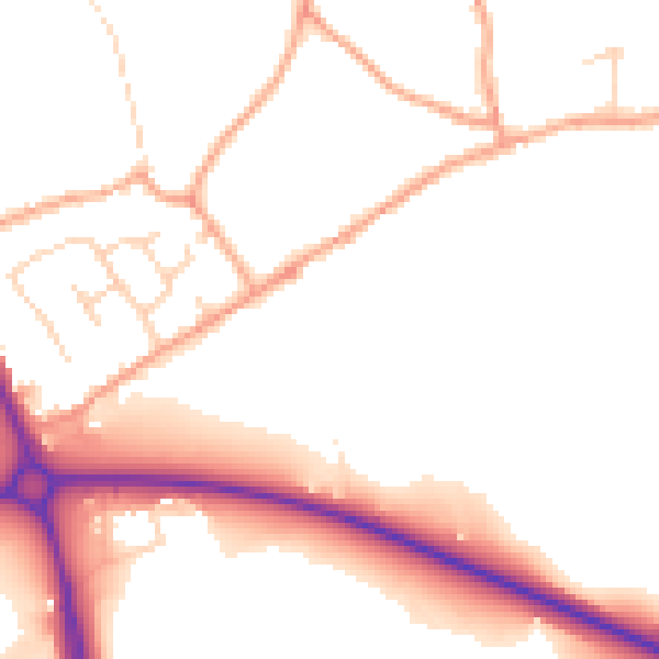
Daytime· 07:00 – 23:00
51.6dB

Night-time· 23:00 – 07:00
43.9dB