49 Dunstable Street, Ampthill, Bedford, MK45 2NJ
About 49 Dunstable Street
49 Dunstable Street is a two-bedroom mid-terrace house in Ampthill, Bedford, Bedford (MK45 2NJ). It has a recorded floor area of 47 m² (around 506 sq ft), construction records dating it to 1930-1949 and council tax band B. The latest certificate (March 2022) shows a C (score 70). When first surveyed in January 2012 the rating was D, the property has climbed 1 band since. Between certificates, hot-water efficiency went from Average to Good; while window efficiency dropped from Good to Average. The recommended improvements would push it to B (score 89).
At 47 m² it sits well below the postcode median (68 m² across 23 EPCs), making it one of the more compact homes locally. Its energy rating outperforms most of the postcode (better than 74% of similar EPCs). Across 1999–2019, sale prices on this property compounded at 6.7% per year. Today's modelled estimate of £252,000 is 20% above the 2019 sale price. On a £-per-square-foot basis, the last sale (£415/sq ft) was about 101.6% above the typical sold price in the postcode. Last sale on file: £210,000 in September 2019.
Know exactly what you're buying at 49 Dunstable Street
Before you offer, see what the listing won't tell you, the true value, the red flags and the full history.
Already flagged here
Valuation
against the asking price
Risks
planning & flood
Sold prices
similar homes nearby
Trends
the local market
What this property has
Inside
- Bedrooms2
- Bathrooms1
Outside
- Private gardenRear
Building
- Heating systemGas
Energy performance
EPC Rating
Property Improvements
Changes detected from historical EPC data
Heating controls upgraded for better temperature management
Hot water efficiency improved
More low energy lighting installed
Planning history
49 Dunstable Street has no planning applications on record.
Notable planning nearby
8applications of note in the surrounding area
We flagged 1 thing worth checking at 49 Dunstable Street
Independent checks surfaced things a buyer would want to understand before offering. The report explains each one in full, with the underlying data and what to ask.
- Larger development activity nearby
30-day money-back guarantee
Sales history & valuation
49 Dunstable Street has more than tripled in price since its earliest registered sale in 1999.
£252,000
Modelled from EPC, postcode comparables and a sale-price growth of 6.7% per year over 21 years.
£210,000
Growth on file: 6.7% per year over 21 years.
Sales timeline
19 September 2019Most recent
£210,000
+151.5%over 18 years28 June 2001
£83,500
+51.8%over 2 years25 January 1999
£55,000
Median price across the last 5 sales in MK45 2NJ: £303,000 (2025–2023).
Nearby sales in MK45 2NJ
47 Dunstable Street, Ampthill, Bedford, MK45 2NJ
Sold Aug 2025
£250,00035a, Dunstable Street, Ampthill, Bedford, MK45 2NJ
Sold Mar 2025
£245,00059 Dunstable Street, Ampthill, Bedford, MK45 2NJ
Sold Mar 2025
£310,00015 Dunstable Street, Ampthill, Bedford, MK45 2NJ
Sold Dec 2024
£303,00035 Dunstable Street, Ampthill, Bedford, MK45 2NJ
Sold Jul 2023
£405,000
Everything we know about 49 Dunstable Street, in one report
What it's really worth, what could be wrong, and the planning, sales and area data in full.
What we flagged
- Larger development activity nearby

Versus other Dunstable Street homes
Floor Area for 49 Dunstable Street lags the street by a wide margin.
Price per m²
£4,468
Street avg £3,292
Floor Area
47 m²
Street avg 78 m²
Habitable Rooms
3 rooms
Street avg 4 rooms
CO₂ Emissions
2.0 t/year
Street avg 3.7 t/year
Similar properties nearby
1 Baker Street, Ampthill
MK45 2QE
1 Alameda Walk, Ampthill
MK45 2JX
1 Cedar Close, Ampthill
MK45 2UD
1 Cedars Courtyard, Dunstable Street, Ampthill
MK45 2JW
1 Arthur Street, Ampthill
MK45 2QG
1 Adams Close, Ampthill
MK45 2UB
1 Brewery Lane, Ampthill
MK45 2NE
1 Becketts Close, Maulden
MK45 2JL
The neighbourhood at a glance
Daytime road noise here sits well below conversation level — a quiet pocket of the postcode.
Crime
2/mo
Steady year-on-year across the wider district.
Nearest stop
0.1 km
Alameda Walk — bus stop.
Closest school
0.2 km
Russell Lower School. 8 schools nearby.
Go deeper on the local area
The full report breaks down crime, transport links, schools and air quality in depth.
Road noise across the postcode
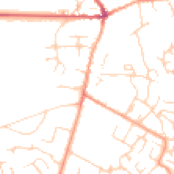
Daytime· 07:00 – 23:00
48.0dB

Night-time· 23:00 – 07:00
37.7dB