58 Greenways, Flitwick, Bedford, MK45 1DB
About 58 Greenways
58 Greenways is a property in Flitwick, Bedford, Bedford (MK45 1DB). It has council tax band B.
Untraded for 25 years, with the last transfer in August 2001.
Know exactly what you're buying at 58 Greenways
Before you offer, see what the listing won't tell you, the true value, the red flags and the full history.
Valuation
against the asking price
Risks
planning & flood
Sold prices
similar homes nearby
Trends
the local market
Energy performance
No EPC on record
This property doesn't have an Energy Performance Certificate yet. An EPC is required to sell or let — and unlocks our automated valuation.
Planning history
58 Greenways has no planning applications on record.
Notable planning nearby
2applications of note in the surrounding area
Sales history & valuation
£118,000
Recorded with HM Land Registry.
Sales timeline
30 August 2001Most recent
£118,000
Median price across the last 5 sales in MK45 1DB: £289,995 (2023–2016).
Nearby sales in MK45 1DB
46 Greenways, Flitwick, Bedford, MK45 1DB
Sold Jan 2023
£460,00037 Greenways, Flitwick, Bedford, MK45 1DB
Sold Aug 2022
£420,00036 Greenways, Flitwick, Bedford, MK45 1DB
Sold Mar 2020
£225,00050 Greenways, Flitwick, Bedford, MK45 1DB
Sold Jan 2016
£289,99536a, Greenways, Flitwick, Bedford, MK45 1DB
Sold May 2012
£180,000
Everything we know about 58 Greenways, in one report
What it's really worth, what could be wrong, and the planning, sales and area data in full.
- Am I paying too much?
- Is something wrong with it?
- Is the agent's story true?
- Will it hold its value?

Similar properties nearby
1 Avon Rise, Flitwick
MK45 1SQ
1 Brunel Place, Flitwick
MK45 1GF
1 Catherine Road, Flitwick
MK45 1DD
1 Buttermere Close, Flitwick
MK45 1NG
1 Buckingham Mews, Flitwick
MK45 1TB
1 Beaumont Mews, Flitwick
MK45 1FP
1 Byron Crescent, Flitwick
MK45 1PY
1 Beaumont Road, Flitwick
MK45 1AL
The neighbourhood at a glance
Rail-style transport is unusually close for this postcode.
Crime
2/mo
Steady year-on-year across the wider district.
Nearest stop
0.1 km
Catherine Road — bus stop.
Closest school
0.4 km
Kingsmoor Lower School. 10 schools nearby.
Go deeper on the local area
The full report breaks down crime, transport links, schools and air quality in depth.
Road noise across the postcode
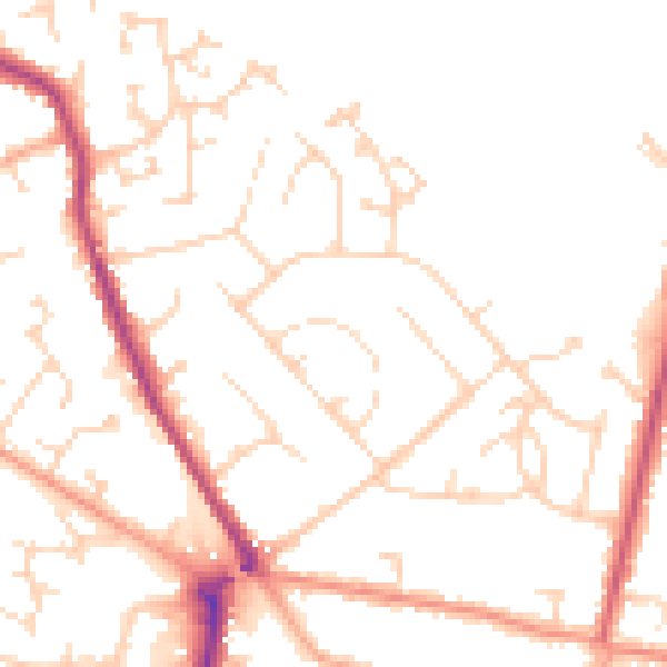
Daytime· 07:00 – 23:00
49.5dB

Night-time· 23:00 – 07:00
39.9dB