31 The Avenue, Flitwick, Bedford, MK45 1BS
About 31 The Avenue
31 The Avenue is a three-bedroom semi-detached house in Flitwick, Bedford, Bedford (MK45 1BS). It has a recorded floor area of 103 m² (around 1109 sq ft), construction records dating it to 1950-1966 and council tax band C. The latest certificate (July 2021) shows a D (score 67), on the cusp of jumping into the C band. When first surveyed in September 2009 the rating was E, the property has climbed 1 band since. Between certificates, roof efficiency went from Average to Good, window efficiency went from Average to Good and hot-water efficiency went from Average to Good; while wall efficiency dropped from Poor to Very Poor. The recommended improvements would lift it to B (score 83), a 2-band jump.
One planning record on file: an extension approved in 2017. Past consents include an extension, meaningful when judging how the property has evolved. Across 2009–2021, sale prices on this property compounded at 7.1% per year. On a £-per-square-foot basis, the last sale (£365/sq ft) was about 114% above the typical sold price in the postcode. Last sale on file: £405,000 in September 2021. That sale was during the post-pandemic price surge, when transactions cleared materially above pre-2020 trend.
Know exactly what you're buying at 31 The Avenue
Before you offer, see what the listing won't tell you, the true value, the red flags and the full history.
Valuation
against the asking price
Risks
planning & flood
Sold prices
similar homes nearby
Trends
the local market
What this property has
Inside
- Bedrooms3
- Bathrooms1
- Dining roomYes
- FireplaceYes
Outside
- Private gardenRear
Building
- RefurbishedYes
Energy performance
Recommended upgrades on file would lift this property by multiple EPC bands.
EPC Rating
Property Improvements
Changes detected from historical EPC data
Heating controls upgraded for better temperature management
Hot water efficiency improved
Window efficiency improved
Roof insulation improved
More low energy lighting installed
Planning history
- Aug 2017ExtensionFullIn report
Extension: Rear of property
Alterations to existing single storey rear extension and associated works
- Reference
- CB/17/03258/FULL
What's in 31 The Avenue, Flitwick, Bedford, MK45 1BS's planning history?
Refusals, disputes and full decisions on this property and nearby, in the report.
Sales history & valuation
Latest sale on 31 The Avenue was the highest on Land Registry record across the postcode.
£441,000
Modelled from EPC, postcode comparables and a sale-price growth of 7.1% per year over 12 years.
£405,000
Growth on file: 7.1% per year over 12 years.
Sales timeline
27 September 2021Most recent
£405,000
+24.6%over 4 years27 October 2016
£325,000
+80.6%over 6 years16 December 2009
£180,000
Median price across the last 5 sales in MK45 1BS: £285,000 (2025–2018).
Nearby sales in MK45 1BS
30 The Avenue, Flitwick, Bedford, MK45 1BS
Sold Mar 2025
£377,00057 The Avenue, Flitwick, Bedford, MK45 1BS
Sold Aug 2022
£285,00033 The Avenue, Flitwick, Bedford, MK45 1BS
Sold Aug 2020
£350,00042 The Avenue, Flitwick, Bedford, MK45 1BS
Sold Aug 2018
£280,00026 The Avenue, Flitwick, Bedford, MK45 1BS
Sold Sept 2017
£275,000
Everything we know about 31 The Avenue, in one report
What it's really worth, what could be wrong, and the planning, sales and area data in full.
- Am I paying too much?
- Is something wrong with it?
- Is the agent's story true?
- Will it hold its value?

Versus other The Avenue homes
On price per m², 31 The Avenue stands well clear of the street.
Price per m²
£3,932
Street avg £2,574
Floor Area
103 m²
Street avg 94 m²
Habitable Rooms
5 rooms
Street avg 5 rooms
CO₂ Emissions
4.1 t/year
Street avg 3.9 t/year
Similar properties nearby
1 Buckingham Mews, Flitwick
MK45 1TB
1 Buttermere Close, Flitwick
MK45 1NG
1 Avon Rise, Flitwick
MK45 1SQ
1 Brunel Place, Flitwick
MK45 1GF
1 Catherine Road, Flitwick
MK45 1DD
1 Brunswick Gardens, Flitwick
MK45 1FS
1 Beaumont Road, Flitwick
MK45 1AL
1 Arundel Close, Flitwick
MK45 1RR
The neighbourhood at a glance
Rail-style transport is unusually close for this postcode.
Crime
2/mo
Steady year-on-year across the wider district.
Nearest stop
0.1 km
Sheepfold Hill — bus stop.
Closest school
0.2 km
Kingsmoor Lower School. 10 schools nearby.
Go deeper on the local area
The full report breaks down crime, transport links, schools and air quality in depth.
Road noise across the postcode
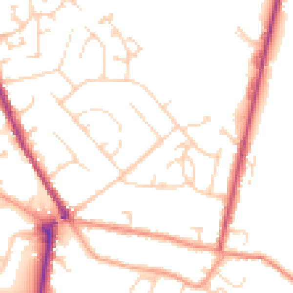
Daytime· 07:00 – 23:00
49.9dB

Night-time· 23:00 – 07:00
40.3dB