5 Broad Avenue, Bedford, MK42 9SN
About 5 Broad Avenue
5 Broad Avenue is a three-bedroom mid-terrace house in Bedford (MK42 9SN). It has a recorded floor area of 98 m² (around 1055 sq ft), construction records dating it to 1930-1949 and council tax band B. The latest certificate (May 2015) shows a D (score 67), on the cusp of jumping into the C band. The rating has held steady at D across 3 certificates since November 2012. Between certificates, window efficiency went from Average to Good and lighting went from Very Poor to Very Good; while roof efficiency dropped from Good to Very Poor. The recommended improvements would lift it to B (score 87), a 2-band jump. The latest certificate is from May 2015, so improvements made since then won't be reflected. Records show the property has been extended at some point in its history.
It changed hands recently, sold February 2025 for £300,000. One planning record on file: an extension approved in 2014. Past consents include an extension, meaningful when judging how the property has evolved. At 98 m² it's 28.1% larger than the typical home in the postcode (77 m² median across 18 EPCs). Across 1998–2025, sale prices on this property compounded at 6.8% per year. On a £-per-square-foot basis, the last sale (£284/sq ft) was about 83% above the typical sold price in the postcode.
Know exactly what you're buying at 5 Broad Avenue
Before you offer, see what the listing won't tell you, the true value, the red flags and the full history.
Already flagged here
Valuation
against the asking price
Risks
planning & flood
Sold prices
similar homes nearby
Trends
the local market
What this property has
Inside
- Bedrooms3
- Bathrooms2
- EnsuiteYes
Outside
- Private gardenRear
- DrivewayYes
Building
- Previously extendedYes
Energy performance
Recommended upgrades on file would lift this property by multiple EPC bands.
EPC Expired
This certificate is over 10 years old and is no longer valid.Expired 26 May 2025
EPC Rating
Property Improvements
Changes detected from historical EPC data
Heating controls upgraded for better temperature management
Window efficiency improved
More low energy lighting installed
Planning history
5 Broad Avenue has an approved single-storey rear extension on the planning record.
- Jan 2014ExtensionOutlineIn report
Extension: Single storey · Rear of property
Prior notification for single storey rear extension(s) between 3 and 6 metres depth. This is not a planning application because it relates to development that is permitted by Government Regulation. It will not therefore be reported to the Planning Committee but considered by officers under delegated powers. Only objections from adjoining neighbours can be considered and, if officers confirm that the Development can proceed, it must be completed by 30th May 2016.
- Documents
- 6 docs on file
- Reference
- 13/02490/HPN
We flagged 2 things worth checking at 5 Broad Avenue
Independent checks surfaced things a buyer would want to understand before offering. The report explains each one in full, with the underlying data and what to ask.
- Signs of HMO activity in the area
- Larger development activity nearby
30-day money-back guarantee
Sales history & valuation
5 Broad Avenue has more than quadrupled in price since its earliest registered sale in 1998.
£313,000
Modelled from EPC, postcode comparables and a sale-price growth of 6.8% per year over 27 years.
£300,000
Growth on file: 6.8% per year over 27 years.
Sales timeline
18 February 2025Most recent
£300,000
+156.4%over 11 years17 October 2013
£117,000
+105.3%over 13 years7 January 2000
£57,000
+10.7%over 1 year11 June 1998
£51,500
Median price across the last 5 sales in MK42 9SN: £260,000 (2024–2023).
Everything we know about 5 Broad Avenue, in one report
What it's really worth, what could be wrong, and the planning, sales and area data in full.
What we flagged
- Signs of HMO activity in the area
- Larger development activity nearby

Versus other Broad Avenue homes
On years held, 5 Broad Avenue runs well behind the street norm.
Price per m²
£3,061
Street avg £2,416
Floor Area
98 m²
Street avg 77 m²
Habitable Rooms
5 rooms
Street avg 5 rooms
CO₂ Emissions
3.9 t/year
Street avg 3.8 t/year
Similar properties nearby
The neighbourhood at a glance
Crime
6/mo
Steady year-on-year across the wider district.
Nearest stop
0.2 km
Stapleton Road — bus stop.
Closest school
0.4 km
Shackleton Primary School. 20 schools nearby.
Go deeper on the local area
The full report breaks down crime, transport links, schools and air quality in depth.
Road noise across the postcode
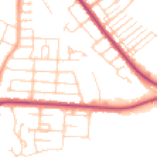
Daytime· 07:00 – 23:00
51.3dB

Night-time· 23:00 – 07:00
41.3dB