9 Broad Reach, The Embankment, Bedford, MK40 3PB
About 9 Broad Reach
9 Broad Reach is a two-bedroom end-of-terrace house in Bedford (MK40 3PB). It has a recorded floor area of 72 m² (around 775 sq ft), construction records dating it to 1967-1975 and council tax band D. The latest certificate (January 2019) shows an E (score 52), well below the UK norm with real room to improve. The rating has held steady at E across 2 certificates since November 2008. Between certificates, main heating went from Poor to Average; while wall efficiency dropped from Poor to Very Poor and hot-water efficiency dropped from Average to Poor. The recommended improvements would lift it to B (score 81), a 3-band jump. Main heating runs on electricity. Other recorded features include a balcony.
Today's modelled estimate of £294,000 is 17.6% above the 2018 sale price. On a £-per-square-foot basis, the last sale (£323/sq ft) was about 34.3% above the typical sold price in the postcode. Last sale on file: £250,000 in December 2018.
What this property has
Inside
- Bedrooms2
- Bathrooms2
- Open-plan layoutYes
- Dining roomYes
Outside
- GarageYes
- BalconyYes
Building
- RefurbishedYes
Everything you need to know about 9 Broad Reach
The true value, the hidden risks and the full sale history, in one report.
Pick your report · every report is £14.99
One time fee only - money back guarantee

The data behind every report


Energy performance
9 Broad Reach's carbon output runs well above what efficient homes in the postcode produce.
EPC Rating
Get a survey for this property
Level 3 Building Survey
Because the property has no mains gas supply and has solid (non-cavity) walls, we believe a Level 3 building survey should be considered.
From £885 · Includes VAT
Planning history
9 Broad Reach has no planning applications on record.
But the area is active
1 notable application nearby — larger schemes and conversions that could reshape the street. The report maps them all.
Sales history & valuation
9 Broad Reach valuation sits well clear of the typical sold price in this postcode.
£294,000
Modelled from EPC, postcode comparables.
£250,000
Recorded with HM Land Registry.
Sales timeline
18 December 2018Most recent
£250,000
Median price across the last 5 sales in MK40 3PB: £231,000 (2021–2016).
Nearby sales in MK40 3PB
6 Broad Reach, The Embankment, Bedford, MK40 3PB
Sold Sept 2021
£216,0005 Broad Reach, The Embankment, Bedford, MK40 3PB
Sold Dec 2019
£280,0004 Broad Reach, The Embankment, Bedford, MK40 3PB
Sold Aug 2017
£260,00012 Broad Reach, The Embankment, Bedford, MK40 3PB
Sold Feb 2016
£218,00014 Broad Reach, The Embankment, Bedford, MK40 3PB
Sold Feb 2016
£225,000
Versus other Broad Reach homes
9 Broad Reach outperforms the street on price per m² by a wide margin.
Price per m²
£3,472
Street avg £2,721
Floor Area
72 m²
Street avg 80 m²
Habitable Rooms
3 rooms
Street avg 3 rooms
CO₂ Emissions
6.2 t/year
Street avg 4.7 t/year
Everything you need to know about 9 Broad Reach
The true value, the hidden risks and the full sale history, in one report.
Pick your report · every report is £14.99
One time fee only - money back guarantee
The data behind every report
Similar properties nearby
1 Fontwell Close
MK40 3UR
1 Dean Street
MK40 3EQ
1 Denmark Street
MK40 3TG
1 Crediton Close
MK40 3DU
1 Appledore Road
MK40 3UZ
1 Crediton Mews
MK40 3FB
1 Dudley Street
MK40 3TA
1 Howbury Street
MK40 3QU
The neighbourhood at a glance
Rail-style transport is unusually close for this postcode.
Crime
7/mo
Rising year-on-year across the wider district.
Nearest stop
0.2 km
Rothsay Road — bus stop.
Closest school
0.5 km
Bedford Free School. 28 schools nearby.
Go deeper on the local area
A Local Area report breaks down crime, transport links, schools and air quality in depth.
Road noise across the postcode
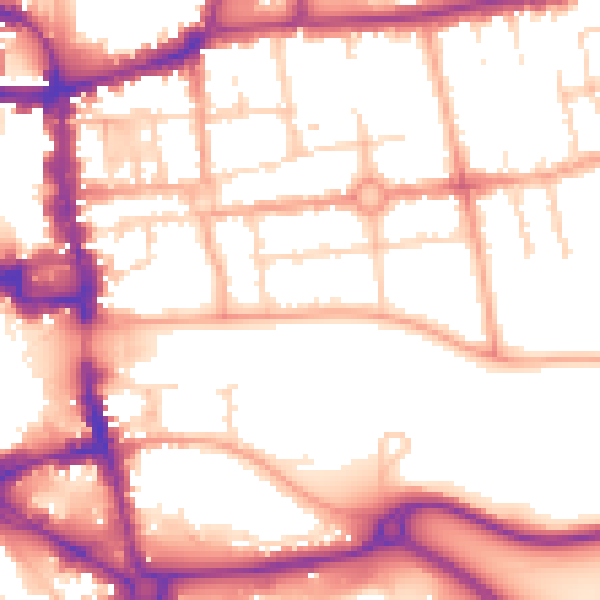
Daytime· 07:00 – 23:00
55.3dB

Night-time· 23:00 – 07:00
45.9dB