9 Rowsham Dell, Giffard Park, Milton Keynes, MK14 5JS
About 9 Rowsham Dell
9 Rowsham Dell is a four-bedroom detached house in Giffard Park, Milton Keynes, Milton Keynes (MK14 5JS). It has a recorded floor area of 195 m² (around 2099 sq ft), construction records dating it to 1983-1990 and council tax band G. The latest certificate (June 2021) shows a D (score 68), on the cusp of jumping into the C band. The recommended improvements would push it to C (score 76). Other recorded features include outbuildings.
At 195 m² it's 16.5% larger than the typical home in the postcode (167 m² median across 28 EPCs). Today's modelled estimate of £876,000 is 13% above the 2021 sale price. On a £-per-square-foot basis, the last sale (£369/sq ft) was about 59.8% above the typical sold price in the postcode. Most recent transfer: November 2021 at £775,000. That sale was during the post-pandemic price surge, when transactions cleared materially above pre-2020 trend.
Know exactly what you're buying at 9 Rowsham Dell
Before you offer, see what the listing won't tell you, the true value, the red flags and the full history.
Already flagged here
Valuation
against the asking price
Risks
planning & flood
Sold prices
similar homes nearby
Trends
the local market
What this property has
Inside
- Bedrooms4
- Bathrooms2
- Dining roomYes
- Utility roomYes
- CloakroomYes
- EnsuiteYes
Outside
- Private gardenRear
- GarageDouble, Detached
- OutbuildingsYes
Building
- RefurbishedYes
Energy performance
EPC Rating
Planning history
9 Rowsham Dell has no planning applications on record.
Notable planning nearby
4applications of note in the surrounding area
We flagged 1 thing worth checking at 9 Rowsham Dell
Independent checks surfaced things a buyer would want to understand before offering. The report explains each one in full, with the underlying data and what to ask.
- Larger development activity nearby
30-day money-back guarantee
Sales history & valuation
The latest sale landed in the post-pandemic price surge — useful context when reading the figure.
£876,000
Modelled from EPC, postcode comparables.
£775,000
Recorded with HM Land Registry.
Sales timeline
11 November 2021Most recent
£775,000
Median price across the last 5 sales in MK14 5JS: £755,000 (2025–2021).
Nearby sales in MK14 5JS
43 Rowsham Dell, Giffard Park, Milton Keynes, MK14 5JS
Sold Jan 2025
£744,00033 Rowsham Dell, Giffard Park, Milton Keynes, MK14 5JS
Sold Feb 2024
£960,0004 Rowsham Dell, Giffard Park, Milton Keynes, MK14 5JS
Sold Mar 2022
£755,00018 Rowsham Dell, Giffard Park, Milton Keynes, MK14 5JS
Sold Aug 2021
£850,00024 Rowsham Dell, Giffard Park, Milton Keynes, MK14 5JS
Sold Aug 2021
£636,000
Everything we know about 9 Rowsham Dell, in one report
What it's really worth, what could be wrong, and the planning, sales and area data in full.
What we flagged
- Larger development activity nearby

Versus other Rowsham Dell homes
Years Held for 9 Rowsham Dell lags the street by a wide margin.
Price per m²
£3,974
Street avg £3,113
Floor Area
195 m²
Street avg 179 m²
Habitable Rooms
8 rooms
Street avg 8 rooms
CO₂ Emissions
5.4 t/year
Street avg 6.2 t/year
Similar properties nearby
1 Boulters Lock, Giffard Park
MK14 5QR
1 Dovecote Croft, Great Linford
MK14 5BF
1 Cedar Court, Blakelands
MK14 5GA
1 Bromham Mill, Giffard Park
MK14 5QP
1 Granes End, Great Linford
MK14 5DY
1 Butlers Grove, Great Linford
MK14 5DT
1 Gibbwin, Great Linford
MK14 5DJ
1 France Furlong, Great Linford
MK14 5EH
The neighbourhood at a glance
Crime
5/mo
Steady year-on-year across the wider district.
Nearest stop
0.2 km
Horton Gate — bus stop.
Closest school
0.5 km
Giffard Park Primary School. 17 schools nearby.
Go deeper on the local area
The full report breaks down crime, transport links, schools and air quality in depth.
Road noise across the postcode
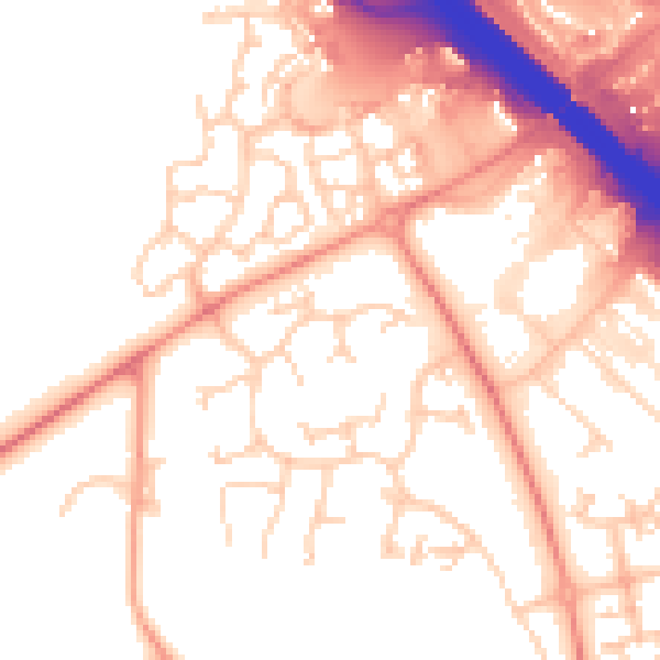
Daytime· 07:00 – 23:00
54.3dB

Night-time· 23:00 – 07:00
46.4dB