3 Hargreaves Nook, Blakelands, Milton Keynes, MK14 5BS
About 3 Hargreaves Nook
3 Hargreaves Nook is a three-bedroom property in Blakelands, Milton Keynes, Milton Keynes (MK14 5BS). It has council tax band D.
Held since October 2006 — that's 20 years off the open market, well above the local norm. 3 planning records sit against the property, 1 approved, 2 refused. Past consents include an extension, meaningful when judging how the property has evolved. Across 1997–2006, sale prices on this property compounded at 10.4% per year.
Know exactly what you're buying at 3 Hargreaves Nook
Before you offer, see what the listing won't tell you, the true value, the red flags and the full history.
Already flagged here
Valuation
against the asking price
Risks
planning & flood
Sold prices
similar homes nearby
Trends
the local market
What this property has
Inside
- Bedrooms3
- Dining roomYes
- CloakroomYes
- EnsuiteYes
Outside
- GarageSingle
Energy performance
No EPC on record
This property doesn't have an Energy Performance Certificate yet. An EPC is required to sell or let — and unlocks our automated valuation.
Planning history
3 Hargreaves Nook has been extended on multiple sides of the property across separate planning applications.
- Apr 2018ExtensionFullIn report
Extension: Single storey
Proposed one and a half Storey Extension and New Roof above Sauna
- Reference
- 18/00617/FUL
- Sept 2017ExtensionFullIn report
Extension: Side of property
Erection of a two storey side extension and a single storey front/side extension
- Reference
- 17/01964/FUL
We flagged 1 thing worth checking at 3 Hargreaves Nook
Independent checks surfaced things a buyer would want to understand before offering. The report explains each one in full, with the underlying data and what to ask.
- Larger development activity nearby
30-day money-back guarantee
Sales history & valuation
Sale price has at least doubled since 1997.
£235,000
Growth on file: 10.4% per year over 9 years.
Sales timeline
26 October 2006Most recent
£235,000
+39.9%over 5 years27 September 2001
£168,000
+73.2%over 3 years14 November 1997
£97,000
Median price across the last 5 sales in MK14 5BS: £360,000 (2025–2020).
Nearby sales in MK14 5BS
5 Hargreaves Nook, Blakelands, Milton Keynes, MK14 5BS
Sold Mar 2025
£360,00021 Hargreaves Nook, Blakelands, Milton Keynes, MK14 5BS
Sold Jul 2023
£390,00016 Hargreaves Nook, Blakelands, Milton Keynes, MK14 5BS
Sold Dec 2022
£435,00019 Hargreaves Nook, Blakelands, Milton Keynes, MK14 5BS
Sold Feb 2020
£337,0002 Hargreaves Nook, Blakelands, Milton Keynes, MK14 5BS
Sold Jun 2018
£355,000
Everything we know about 3 Hargreaves Nook, in one report
What it's really worth, what could be wrong, and the planning, sales and area data in full.
What we flagged
- Larger development activity nearby

Similar properties nearby
1 France Furlong, Great Linford
MK14 5EH
1 Butlers Grove, Great Linford
MK14 5DT
1 Gibbwin, Great Linford
MK14 5DJ
1 Granes End, Great Linford
MK14 5DY
1 Bessemer Court, Blakelands
MK14 5JN
1 Barbury Court, Giffard Park
MK14 5PT
1 Bromham Mill, Giffard Park
MK14 5QP
1 Alder Court, Redhouse Park
MK14 5FL
The neighbourhood at a glance
Crime
5/mo
Steady year-on-year across the wider district.
Nearest stop
0.4 km
Knebworth Roundabout North — bus stop.
Closest school
0.5 km
Giffard Park Primary School. 16 schools nearby.
Go deeper on the local area
The full report breaks down crime, transport links, schools and air quality in depth.
Road noise across the postcode
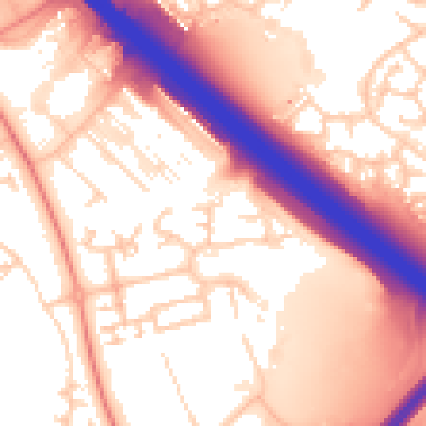
Daytime· 07:00 – 23:00
57.8dB

Night-time· 23:00 – 07:00
50.9dB