27 Hadrians Drive, Bancroft, Milton Keynes, MK13 0QB
About 27 Hadrians Drive
27 Hadrians Drive is a two-bedroom end-of-terrace house in Bancroft, Milton Keynes, Milton Keynes (MK13 0QB). It has a recorded floor area of 54 m² (around 581 sq ft), construction records dating it to 1983-1990 and council tax band B. The latest certificate (April 2013) shows a D (score 66), on the cusp of jumping into the C band. The recommended improvements would lift it to B (score 89), a 2-band jump. The latest certificate is from April 2013, so improvements made since then won't be reflected. Other recorded features include attached land beyond the plot.
Across 1997–2013, sale prices on this property compounded at 7.6% per year. Today's modelled estimate of £230,000 sits 110% above the 2013 sale of £109,500. At 54 m² it's 20.4% smaller than the typical home in the postcode (68 m² median across 4 EPCs). It lags the bulk of the postcode on energy efficiency (less efficient than 75% of similar EPCs). On the market in July 2013 and unlisted since — roughly 13 years.
What this property has
Inside
- Bedrooms2
Outside
- LandYes
Everything you need to know about 27 Hadrians Drive
The true value, the hidden risks and the full sale history, in one report.
30-day money-back guarantee

The data behind every report


Energy performance
Recommended upgrades on file would lift this property by multiple EPC bands.
EPC Expired
This certificate is over 10 years old and is no longer valid.Expired 28 Apr 2023
EPC Rating
Planning history
27 Hadrians Drive has no planning applications on record.
Notable planning nearby
2applications of note in the surrounding area
Sales history & valuation
27 Hadrians Drive has more than tripled in price since its earliest registered sale in 1997.
£230,000
Modelled from EPC, postcode comparables and a sale-price growth of 7.6% per year over 16 years.
£109,500
Growth on file: 7.6% per year over 16 years.
Sales timeline
18 July 2013Most recent
£109,500
+6.3%over 9 years7 January 2004
£103,000
+202.9%over 6 years26 June 1997
£34,000
Median price across the last 5 sales in MK13 0QB: £146,000 (2016–1999).
Nearby sales in MK13 0QB
Versus other Hadrians Drive homes
On co₂ emissions, 27 Hadrians Drive stands well clear of the street.
Price per m²
£2,028
Street avg £2,424
Floor Area
54 m²
Street avg 81 m²
Habitable Rooms
3 rooms
Street avg 5 rooms
CO₂ Emissions
2.4 t/year
Street avg 3.4 t/year
Everything you need to know about 27 Hadrians Drive
The true value, the hidden risks and the full sale history, in one report.
30-day money-back guarantee
The data behind every report
Similar properties nearby
1 Caledonian Road, New Bradwell
MK13 0AP
1 Glyn Street, New Bradwell
MK13 0DF
1 Harwood Street, New Bradwell
MK13 0EH
1 Haltonchesters, Bancroft
MK13 0PE
1 Church Street, New Bradwell
MK13 0DA
1 King Edward Street, New Bradwell
MK13 0BG
1 Bridgeway, New Bradwell
MK13 0ES
1 Bertram Close, New Bradwell
MK13 0DT
The neighbourhood at a glance
Crime
4/mo
Steady year-on-year across the wider district.
Nearest stop
0.3 km
Bancroft Roundabout West — bus stop.
Closest school
0.7 km
Priory Common School. 28 schools nearby.
Go deeper on the local area
The full report breaks down crime, transport links, schools and air quality in depth.
Road noise across the postcode
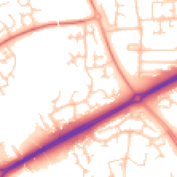
Daytime· 07:00 – 23:00
53.9dB

Night-time· 23:00 – 07:00
43.4dB