2 Leaberry, New Bradwell, Milton Keynes, MK13 0EU
About 2 Leaberry
2 Leaberry is a property in New Bradwell, Milton Keynes, Milton Keynes (MK13 0EU). It has council tax band B.
Untraded for 23 years, with the last transfer in May 2003. Across 2002–2003, sale prices on this property compounded at 22.9% per year.
Everything you need to know about 2 Leaberry
The true value, the hidden risks and the full sale history, in one report.
30-day money-back guarantee

The data behind every report


Energy performance
No EPC on record
This property doesn't have an Energy Performance Certificate yet. An EPC is required to sell or let — and unlocks our automated valuation.
Planning history
2 Leaberry has no planning applications on record.
Notable planning nearby
2applications of note in the surrounding area
We flagged 1 thing worth checking at 2 Leaberry
Independent checks surfaced things a buyer would want to understand before offering. The report explains each one in full, with the underlying data and what to ask.
- Recent ownership pattern worth a look
30-day money-back guarantee
Sales history & valuation
2 Leaberry changed hands twice within eighteen months — unusual for the area.
£107,500
Growth on file: 22.9% per year over 1 year.
Sales timeline
26 May 2003Most recent
£107,500
+31.1%over 1 year31 January 2002
£82,000
Median price across the last 5 sales in MK13 0EU: £240,000 (2024–2021).
Nearby sales in MK13 0EU
15 Leaberry, New Bradwell, Milton Keynes, MK13 0EU
Sold Dec 2024
£260,00019 Leaberry, New Bradwell, Milton Keynes, MK13 0EU
Sold Oct 2024
£195,00030 Leaberry, New Bradwell, Milton Keynes, MK13 0EU
Sold Sept 2024
£227,0001 Leaberry, New Bradwell, Milton Keynes, MK13 0EU
Sold Apr 2023
£290,00034 Leaberry, New Bradwell, Milton Keynes, MK13 0EU
Sold Dec 2021
£240,000
Everything you need to know about 2 Leaberry
The true value, the hidden risks and the full sale history, in one report.
30-day money-back guarantee
The data behind every report
Similar properties nearby
1 Highbury Mews, New Bradwell
MK13 0FX
1 Caledonian Road, New Bradwell
MK13 0AP
1 Glyn Street, New Bradwell
MK13 0DF
1 Harwood Street, New Bradwell
MK13 0EH
1 Church Street, New Bradwell
MK13 0DA
1 Leaberry, New Bradwell
MK13 0EU
1 King Edward Street, New Bradwell
MK13 0BG
1 Bridgeway, New Bradwell
MK13 0ES
The neighbourhood at a glance
Daytime road noise here sits well below conversation level — a quiet pocket of the postcode.
Crime
4/mo
Steady year-on-year across the wider district.
Nearest stop
0.2 km
St Peters Way — bus stop.
Closest school
0.3 km
Pepper Hill School. 23 schools nearby.
Go deeper on the local area
The full report breaks down crime, transport links, schools and air quality in depth.
Road noise across the postcode
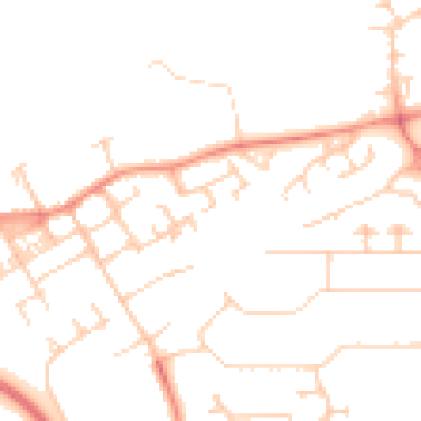
Daytime· 07:00 – 23:00
47.3dB

Night-time· 23:00 – 07:00
37.0dB