4 Inner Lines, Gillingham, ME7 5BT
About 4 Inner Lines
4 Inner Lines is a detached house in Gillingham (ME7 5BT). It has a recorded floor area of 133 m² (around 1432 sq ft), construction records dating it to 1950-1966 and council tax band E. The latest certificate (May 2023) shows a D (score 64), on the cusp of jumping into the C band. Earlier certificates rated it C (March 2020); the latest reading is one band lower. The recommended improvements would push it to C (score 76).
On energy efficiency it sits in the bottom 10% of properties in this postcode — significant headroom for improvement.
Everything you need to know about 4 Inner Lines
The true value, the hidden risks and the full sale history, in one report.
30-day money-back guarantee

The data behind every report


Energy performance
4 Inner Lines sits at the bottom of the postcode for energy efficiency — meaningful headroom to improve.
EPC Rating
Property Improvements
Changes detected from historical EPC data
Loft insulation upgraded to recommended levels
Get a survey for this property
Level 2 HomeBuyer Report
We've checked 10 risk factors against the available data for this property and believe a Level 2 HomeBuyer Report could be a suitable option for you.
From £695 · Includes VAT
Planning history
4 Inner Lines has no planning applications on record.
Notable planning nearby
48applications of note in the surrounding area
We flagged 2 things worth checking at 4 Inner Lines
Independent checks surfaced things a buyer would want to understand before offering. The report explains each one in full, with the underlying data and what to ask.
- Signs of HMO activity in the area
- Larger development activity nearby
30-day money-back guarantee
Sales history & valuation
4 Inner Lines has no Land Registry sales on file, suggesting it has stayed in the same hands since registration began.
£411,000
Modelled from EPC, postcode comparables.
No sales recorded with HM Land Registry
That can mean the property has never traded since the registry began publishing in 1995, was a new build that hasn't been registered yet, or is held in the same hands long-term.
Versus other Inner Lines homes
4 Inner Lines is notably below the street on epc rating.
EPC Rating
64 (D)
Street avg 71 (C)
Floor Area
133 m²
Street avg 134 m²
CO₂ Emissions
4.9 t/year
Street avg 4.2 t/year
Habitable Rooms
5 rooms
Street avg 6 rooms
Everything you need to know about 4 Inner Lines
The true value, the hidden risks and the full sale history, in one report.
30-day money-back guarantee
The data behind every report
Similar properties nearby
The neighbourhood at a glance
Reported crime in the wider district is trending notably upward year-on-year.
Crime
10/mo
Rising year-on-year across the wider district.
Nearest stop
0.2 km
King Charles Hotel — bus stop.
Closest school
0.6 km
Brompton-Westbrook Primary School. 38 schools nearby.
Go deeper on the local area
The full report breaks down crime, transport links, schools and air quality in depth.
Road noise across the postcode
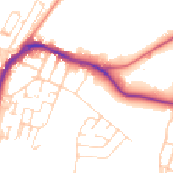
Daytime· 07:00 – 23:00
50.9dB

Night-time· 23:00 – 07:00
41.4dB