17 Chatsworth Road, Gillingham, ME7 1DS
About 17 Chatsworth Road
17 Chatsworth Road is a mid-terrace house in Gillingham (ME7 1DS). It has a recorded floor area of 72 m² (around 775 sq ft), construction records dating it to 1900-1929 and council tax band B. The latest certificate (March 2025) shows a D (score 66), on the cusp of jumping into the C band. The recommended improvements would lift it to B (score 86), a 2-band jump.
It changed hands recently, sold June 2025 for £225,000. Across 1998–2025, sale prices on this property compounded at 6.7% per year. On a £-per-square-foot basis, the last sale (£290/sq ft) was about 129.7% above the typical sold price in the postcode.
Everything you need to know about 17 Chatsworth Road
The true value, the hidden risks and the full sale history, in one report.
30-day money-back guarantee

The data behind every report


Energy performance
Recommended upgrades on file would lift this property by multiple EPC bands.
EPC Rating
Get a survey for this property
Level 3 Building Survey
Because the property was built before 1919 and has solid (non-cavity) walls, we believe a Level 3 building survey should be considered.
From £885 · Includes VAT
Planning history
17 Chatsworth Road has no planning applications on record.
Notable planning nearby
39applications of note in the surrounding area
We flagged 2 things worth checking at 17 Chatsworth Road
Independent checks surfaced things a buyer would want to understand before offering. The report explains each one in full, with the underlying data and what to ask.
- Signs of HMO activity in the area
- Larger development activity nearby
30-day money-back guarantee
Sales history & valuation
Latest sale on 17 Chatsworth Road was the highest on Land Registry record across the postcode.
£237,000
Modelled from EPC, postcode comparables and a sale-price growth of 6.7% per year over 27 years.
£225,000
Growth on file: 6.7% per year over 27 years.
Sales timeline
9 June 2025Most recent
£225,000
+291.3%over 23 years25 July 2001
£57,500
+43.8%over 2 years14 October 1998
£40,000
Median price across the last 5 sales in ME7 1DS: £191,000 (2024–2015).
Nearby sales in ME7 1DS
Versus other Chatsworth Road homes
17 Chatsworth Road outperforms the street on price per m² by a wide margin.
Price per m²
£3,125
Street avg £1,902
Floor Area
72 m²
Street avg 76 m²
Habitable Rooms
4 rooms
Street avg 5 rooms
CO₂ Emissions
3.1 t/year
Street avg 4.1 t/year
Everything you need to know about 17 Chatsworth Road
The true value, the hidden risks and the full sale history, in one report.
30-day money-back guarantee
The data behind every report
Similar properties nearby
The neighbourhood at a glance
Rail-style transport is unusually close for this postcode.
Crime
10/mo
Rising year-on-year across the wider district.
Nearest stop
0.1 km
Trinity Road — bus stop.
Closest school
0.2 km
Burnt Oak Primary School. 27 schools nearby.
Go deeper on the local area
The full report breaks down crime, transport links, schools and air quality in depth.
Road noise across the postcode
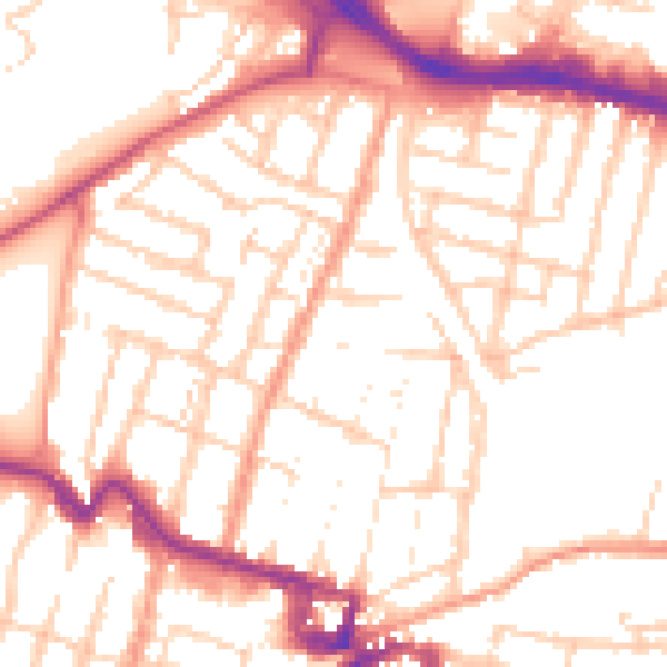
Daytime· 07:00 – 23:00
52.8dB
Night-time· 23:00 – 07:00
42.5dB