The Dairy House, Kirkdale, Loose, Maidstone, ME15 0EA
About The Dairy House
The Dairy House is a detached house in Loose, Maidstone, Maidstone (ME15 0EA). It has a recorded floor area of 127 m² (around 1367 sq ft), construction records dating it to before 1900 and council tax band F. The latest certificate (June 2023) shows a D (score 59), a step below the typical UK home. When first surveyed in March 2019 the rating was E, the property has climbed 1 band since. Between certificates, roof efficiency went from Very Poor to Very Good. The recommended improvements would lift it to B (score 84), a 2-band jump.
At 127 m² the property is well over the postcode median (65 m² across 3 EPCs), placing it in the larger end of the local stock. One historical planning record sits against the property in 2018. The record references listed-building consent, which constrain future alterations. Across 2018–2024, sale prices on this property compounded at 3.7% per year. On a £-per-square-foot basis, the last sale (£483/sq ft) was about 59.3% above the typical sold price in the postcode. Most recent transfer: February 2024 at £660,000.
Know exactly what you're buying at The Dairy House
Before you offer, see what the listing won't tell you, the true value, the red flags and the full history.
Already flagged here
Valuation
against the asking price
Risks
planning & flood
Sold prices
similar homes nearby
Trends
the local market
Energy performance
The Dairy House's carbon output runs well above what efficient homes in the postcode produce.
EPC Rating
Property Improvements
Changes detected from historical EPC data
Loft insulation installed or upgraded to 250mm+
Planning history
The Dairy House has a listed-building consent on record — alterations to a listed property are tightly controlled.
- Nov 2018HeritageIn report
Listed Building Consent for the installation of a gas connection and gas central heating system to the property including 6 no. radiators.
Listed- Documents
- 21 docs on file
- Reference
- 18/504673/LBC
We flagged 1 thing worth checking at The Dairy House
Independent checks surfaced things a buyer would want to understand before offering. The report explains each one in full, with the underlying data and what to ask.
- Larger development activity nearby
30-day money-back guarantee
Sales history & valuation
Latest sale on The Dairy House was the highest on Land Registry record across the postcode.
£601,000
Modelled from EPC, postcode comparables and a sale-price growth of 3.7% per year over 6 years.
£660,000
Growth on file: 3.7% per year over 6 years.
Sales timeline
23 February 2024Most recent
£660,000
+23.9%over 5 years19 April 2018
£532,500
Median price across the last 5 sales in ME15 0EA: £245,000 (2018–2008).
Nearby sales in ME15 0EA
5 Kirkdale Cottages, Kirkdale, Loose, Maidstone, ME15 0EA
Sold Jan 2018
£305,0002 Kirkdale Cottages, Kirkdale, Loose, Maidstone, ME15 0EA
Sold Feb 2017
£315,0004 Kirkdale Cottages, Kirkdale, Loose, Maidstone, ME15 0EA
Sold Nov 2008
£230,0001 Kirkdale Cottages, Kirkdale, Loose, Maidstone, ME15 0EA
Sold Jun 2002
£131,0003 Kirkdale Cottages, Kirkdale, Loose, Maidstone, ME15 0EA
Sold Jun 1999
£103,000
Everything we know about The Dairy House, in one report
What it's really worth, what could be wrong, and the planning, sales and area data in full.
What we flagged
- Larger development activity nearby

Versus other Kirkdale homes
The Dairy House outperforms the street on epc rating by a wide margin.
EPC Rating
59 (D)
Street avg 46 (E)
Floor Area
127 m²
Street avg 104 m²
CO₂ Emissions
7.0 t/year
Street avg 7.5 t/year
Habitable Rooms
6 rooms
Street avg 4 rooms
Similar properties nearby
1 Bishops House, Bishops Lane, Hunton
ME15 0SH
1 Barn View, Shingle Barn Lane, West Farleigh
ME15 0PL
1 Bull Oast, East Street, Hunton
ME15 0RB
1 Church Villas, Church Street, Loose
ME15 0BX
1 Bridge Cottages, St Helens Lane, East Farleigh
ME15 0LB
1 Bishops Oast, Bishops Lane, Hunton
ME15 0SH
1 Bensted Close, Hunton
ME15 0SD
1 Adbert Drive, East Farleigh
ME15 0DE
The neighbourhood at a glance
Daytime road noise here sits well below conversation level — a quiet pocket of the postcode.
Crime
6/mo
Steady year-on-year across the wider district.
Nearest stop
0.3 km
Old Loose Hill — bus stop.
Closest school
0.5 km
Loose Primary School. 18 schools nearby.
Go deeper on the local area
The full report breaks down crime, transport links, schools and air quality in depth.
Road noise across the postcode
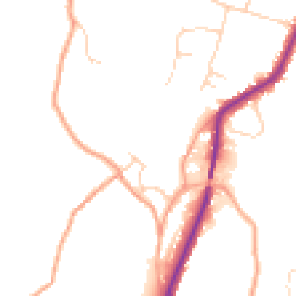
Daytime· 07:00 – 23:00
47.8dB

Night-time· 23:00 – 07:00
39.9dB