11 Herts Crescent, Loose, Maidstone, ME15 0AX
About 11 Herts Crescent
11 Herts Crescent is a three-bedroom semi-detached house in Loose, Maidstone, Maidstone (ME15 0AX). It has a recorded floor area of 102 m² (around 1098 sq ft), construction records dating it to 1950-1966 and council tax band C. The latest certificate (December 2020) shows a C (score 69), just inside the C band. The recommended improvements would push it to B (score 84).
One planning record on file: an extension approved in 2008. Past consents include an extension, meaningful when judging how the property has evolved. At 102 m² it's 17.2% larger than the typical home in the postcode (87 m² median across 12 EPCs). Across 2004–2021, sale prices on this property compounded at 4.3% per year. Today's modelled estimate of £466,000 is 20.1% above the 2021 sale price. On a £-per-square-foot basis, the last sale (£353/sq ft) was about 64.9% above the typical sold price in the postcode. Most recent transfer: June 2021 at £388,000. That sale was during the post-pandemic price surge, when transactions cleared materially above pre-2020 trend.
Know exactly what you're buying at 11 Herts Crescent
Before you offer, see what the listing won't tell you, the true value, the red flags and the full history.
Already flagged here
Valuation
against the asking price
Risks
planning & flood
Sold prices
similar homes nearby
Trends
the local market
What this property has
Inside
- Bedrooms3
- Bathrooms2
- Open-plan layoutYes
- Utility roomYes
- CloakroomYes
Outside
- Private gardenRear
- GarageDetached
Building
- RefurbishedYes
Energy performance
EPC Rating
Planning history
Council records include a two-storey rear extension at 11 Herts Crescent.
- Oct 2008ExtensionFullIn report
Extension: Two storey · Rear of property
Erection of a two storey rear extension as shown on un-numbered drawings received 5th August 2008 and the site location plan and block plan received 21st August 2008.
- Documents
- 12 docs on file
- Reference
- 08/1587
We flagged 1 thing worth checking at 11 Herts Crescent
Independent checks surfaced things a buyer would want to understand before offering. The report explains each one in full, with the underlying data and what to ask.
- Larger development activity nearby
30-day money-back guarantee
Sales history & valuation
Latest sale on 11 Herts Crescent was the highest on Land Registry record across the postcode.
£466,000
Modelled from EPC, postcode comparables and a sale-price growth of 4.3% per year over 17 years.
£388,000
Growth on file: 4.3% per year over 17 years.
Sales timeline
10 June 2021Most recent
£388,000
+105.3%over 17 years5 March 2004
£189,000
Median price across the last 5 sales in ME15 0AX: £335,000 (2022–2013).
Nearby sales in ME15 0AX
2 Herts Crescent, Loose, Maidstone, ME15 0AX
Sold Jan 2022
£345,00013 Herts Crescent, Loose, Maidstone, ME15 0AX
Sold Feb 2021
£330,0005 Herts Crescent, Loose, Maidstone, ME15 0AX
Sold Feb 2018
£335,00012 Herts Crescent, Loose, Maidstone, ME15 0AX
Sold Jan 2018
£352,50015 Herts Crescent, Loose, Maidstone, ME15 0AX
Sold Dec 2013
£168,000
Everything we know about 11 Herts Crescent, in one report
What it's really worth, what could be wrong, and the planning, sales and area data in full.
What we flagged
- Larger development activity nearby

Versus other Herts Crescent homes
11 Herts Crescent is notably below the street on years held.
Price per m²
£3,804
Street avg £3,151
Floor Area
102 m²
Street avg 94 m²
Habitable Rooms
5 rooms
Street avg 5 rooms
CO₂ Emissions
3.7 t/year
Street avg 4.4 t/year
Similar properties nearby
1 Bensted Close, Hunton
ME15 0SD
1 Adbert Drive, East Farleigh
ME15 0DE
1 2 St Helens Cottages, St Helens Lane, West Farleigh
ME15 0JZ
1 Church Villas, Church Street, Loose
ME15 0BX
1 Busbridge Road
ME15 0HY
1 Charlton Lane, West Farleigh
ME15 0NX
1 Barkers Cottages, Dean Street, East Farleigh
ME15 0HR
1 Bridge Street, Loose
ME15 0BY
The neighbourhood at a glance
Daytime road noise here sits well below conversation level — a quiet pocket of the postcode.
Crime
6/mo
Steady year-on-year across the wider district.
Nearest stop
0.1 km
Salt's Avenue — bus stop.
Closest school
0.5 km
Cornwallis Academy. 11 schools nearby.
Go deeper on the local area
The full report breaks down crime, transport links, schools and air quality in depth.
Road noise across the postcode
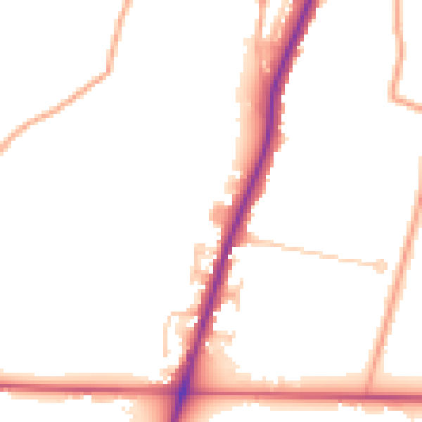
Daytime· 07:00 – 23:00
48.6dB

Night-time· 23:00 – 07:00
41.6dB