17 Linton Road, Loose, Maidstone, ME15 0AG
About 17 Linton Road
17 Linton Road is a detached house in Loose, Maidstone, Maidstone (ME15 0AG). It has a recorded floor area of 165 m² (around 1776 sq ft), construction records dating it to 1967-1975 and council tax band G. The latest certificate (July 2016) returns a B (score 81), comfortably above the UK average. When first surveyed in July 2012 the rating was C, the property has climbed 1 band since. Between certificates, lighting dropped from Very Good to Good.
At 165 m² it's 19.6% larger than the typical home in the postcode (138 m² median across 10 EPCs). On energy efficiency it sits in the top 10% of properties in this postcode. 6 planning records sit against the property, 0 approved, 0 refused. The record references conservation-area consent, which constrain future alterations.
Know exactly what you're buying at 17 Linton Road
Before you offer, see what the listing won't tell you, the true value, the red flags and the full history.
Already flagged here
Valuation
against the asking price
Risks
planning & flood
Sold prices
similar homes nearby
Trends
the local market
Energy performance
17 Linton Road ranks among the most efficient homes in the postcode for energy use.
EPC Rating
Property Improvements
Changes detected from historical EPC data
Heating controls changed
Low energy lighting percentage decreased
Planning history
Planning history at 17 Linton Road is exclusively tree-management applications — typical for a property with mature trees on or near the plot.
- May 2022Tree WorksTreesIn report
Conservation Area notification: Beech (T1) - To reduce in height from 12m to 6m. To prune remaining crown. High winds have caused the tree to move and it is now forward weighted so the aim is to balance weight to prevent future failure.
Conservation Area- Documents
- 7 docs on file
- Reference
- 22/501798/TCA
- Mar 2013Tree WorksTreesIn report
Conservation area notification: Loose Conservation Area for consent to fell 1no Sycamore.
Conservation Area- Documents
- 2 docs on file
- Reference
- TA/0020/13
We flagged 1 thing worth checking at 17 Linton Road
Independent checks surfaced things a buyer would want to understand before offering. The report explains each one in full, with the underlying data and what to ask.
- Larger development activity nearby
30-day money-back guarantee
Sales history & valuation
17 Linton Road has no Land Registry sales on file, suggesting it has stayed in the same hands since registration began.
£692,000
Modelled from EPC, postcode comparables.
No sales recorded with HM Land Registry
That can mean the property has never traded since the registry began publishing in 1995, was a new build that hasn't been registered yet, or is held in the same hands long-term.
Median price across the last 5 sales in ME15 0AG: £560,000 (2025–2017).
Nearby sales in ME15 0AG
31 Linton Road, Loose, Maidstone, ME15 0AG
Sold Feb 2025
£360,00027 Linton Road, Loose, Maidstone, ME15 0AG
Sold May 2021
£710,00039 Linton Road, Loose, Maidstone, ME15 0AG
Sold Mar 2018
£575,00045 Linton Road, Loose, Maidstone, ME15 0AG
Sold Sept 2017
£560,00035 Linton Road, Loose, Maidstone, ME15 0AG
Sold Jun 2017
£345,000
Everything we know about 17 Linton Road, in one report
What it's really worth, what could be wrong, and the planning, sales and area data in full.
What we flagged
- Larger development activity nearby

Versus other Linton Road homes
17 Linton Road outperforms the street on epc rating by a wide margin.
EPC Rating
81 (B)
Street avg 63 (D)
Floor Area
165 m²
Street avg 134 m²
CO₂ Emissions
3.1 t/year
Street avg 5.9 t/year
Habitable Rooms
8 rooms
Street avg 5 rooms
Similar properties nearby
1 Bull Oast, East Street, Hunton
ME15 0RB
1 Bishops Oast, Bishops Lane, Hunton
ME15 0SH
1 Bishops House, Bishops Lane, Hunton
ME15 0SH
1 Barn View, Shingle Barn Lane, West Farleigh
ME15 0PL
1 Church Villas, Church Street, Loose
ME15 0BX
1 Bridge Cottages, St Helens Lane, East Farleigh
ME15 0LB
1 Bensted Close, Hunton
ME15 0SD
1 Adbert Drive, East Farleigh
ME15 0DE
The neighbourhood at a glance
Daytime road noise here sits well below conversation level — a quiet pocket of the postcode.
Crime
6/mo
Steady year-on-year across the wider district.
Nearest stop
0.1 km
Nursing Home — bus stop.
Closest school
0.6 km
Loose Primary School. 16 schools nearby.
Go deeper on the local area
The full report breaks down crime, transport links, schools and air quality in depth.
Road noise across the postcode
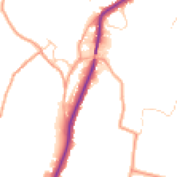
Daytime· 07:00 – 23:00
48.4dB

Night-time· 23:00 – 07:00
40.7dB