3 Beach Terrace, Beach Street, Sheerness, ME12 1RF
About 3 Beach Terrace
3 Beach Terrace is a mid-terrace house in Sheerness (ME12 1RF). It has a recorded floor area of 118 m² (around 1270 sq ft), construction records dating it to before 1900 and council tax band B. The latest certificate (January 2013) shows a D (score 55), a step below the typical UK home. The rating has held steady at D across 2 certificates since May 2010. Between certificates, lighting went from Poor to Very Good. The recommended improvements would push it to C (score 76). The latest certificate is from January 2013, so improvements made since then won't be reflected.
Today's modelled estimate of £225,000 sits 104.5% above the 2013 sale of £110,000. Last changed hands 13 years ago, in January 2013.
Everything you need to know about 3 Beach Terrace
The true value, the hidden risks and the full sale history, in one report.
30-day money-back guarantee

The data behind every report


Energy performance
3 Beach Terrace's EPC is over a decade old — improvements since won't be reflected.
EPC Expired
This certificate is over 10 years old and is no longer valid.Expired 03 Jan 2023
EPC Rating
Property Improvements
Changes detected from historical EPC data
Heating controls changed
More low energy lighting installed
Planning history
3 Beach Terrace has no planning applications on record.
Notable planning nearby
5applications of note in the surrounding area
We flagged 1 thing worth checking at 3 Beach Terrace
Independent checks surfaced things a buyer would want to understand before offering. The report explains each one in full, with the underlying data and what to ask.
- Larger development activity nearby
30-day money-back guarantee
Sales history & valuation
3 Beach Terrace valuation sits well clear of the typical sold price in this postcode.
£225,000
Modelled from EPC, postcode comparables.
£110,000
Recorded with HM Land Registry.
Sales timeline
11 January 2013Most recent
£110,000
Median price across the last 5 sales in ME12 1RF: £95,000 (2018–1995).
Versus other Beach Terrace homes
3 Beach Terrace outperforms the street on floor area by a wide margin.
EPC Rating
55 (D)
Street avg 58 (D)
Floor Area
118 m²
Street avg 108 m²
CO₂ Emissions
5.9 t/year
Street avg 5.3 t/year
Habitable Rooms
5 rooms
Street avg 6 rooms
Everything you need to know about 3 Beach Terrace
The true value, the hidden risks and the full sale history, in one report.
30-day money-back guarantee
The data behind every report
Similar properties nearby
The neighbourhood at a glance
Rail-style transport is unusually close for this postcode.
Crime
4/mo
Steady year-on-year across the wider district.
Nearest stop
0.1 km
High Street — bus stop.
Closest school
0.3 km
Rose Street Primary School. 8 schools nearby.
Go deeper on the local area
The full report breaks down crime, transport links, schools and air quality in depth.
Road noise across the postcode
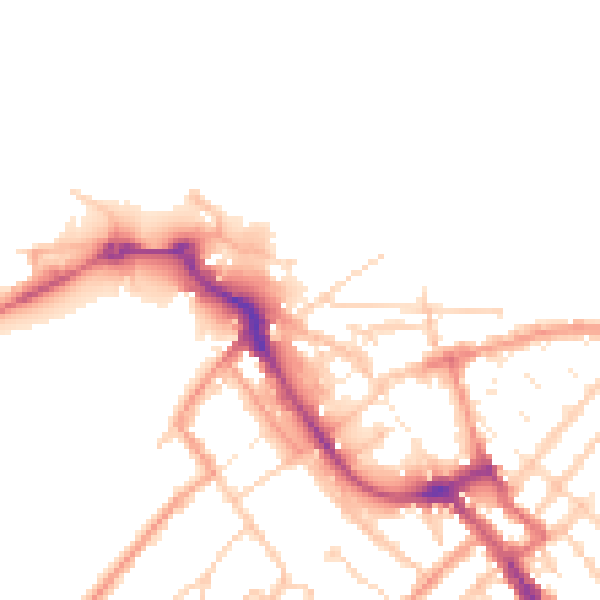
Daytime· 07:00 – 23:00
52.0dB

Night-time· 23:00 – 07:00
42.1dB