3 Swale Avenue, Sheerness, ME12 1DL
About 3 Swale Avenue
3 Swale Avenue is a three-bedroom end-of-terrace house in Sheerness (ME12 1DL). It has a recorded floor area of 89 m² (around 958 sq ft), construction records dating it to 1950-1966 and council tax band B. The latest certificate (September 2024) shows a C (score 70). The recommended improvements would push it to B (score 83). The home occupies a corner plot.
A recent sale: £277,500 in January 2025. On a £-per-square-foot basis, the last sale (£290/sq ft) was about 69% above the typical sold price in the postcode.
What this property has
Inside
- Bedrooms3
- Bathrooms1
- Dining roomYes
- CloakroomYes
Outside
- Private gardenYes
- Corner plotYes
Building
- RefurbishedYes
Everything you need to know about 3 Swale Avenue
The true value, the hidden risks and the full sale history, in one report.
30-day money-back guarantee

The data behind every report


Energy performance
EPC Rating
Planning history
3 Swale Avenue has no planning applications on record.
Notable planning nearby
5applications of note in the surrounding area
We flagged 1 thing worth checking at 3 Swale Avenue
Independent checks surfaced things a buyer would want to understand before offering. The report explains each one in full, with the underlying data and what to ask.
- Larger development activity nearby
30-day money-back guarantee
Sales history & valuation
3 Swale Avenue valuation sits well clear of the typical sold price in this postcode.
£291,000
Modelled from EPC, postcode comparables.
£277,500
Recorded with HM Land Registry.
Sales timeline
13 January 2025Most recent
£277,500
Median price across the last 4 sales in ME12 1DL: £154,000 (2022–2000).
Versus other Swale Avenue homes
3 Swale Avenue outperforms the street on price per m² by a wide margin.
Price per m²
£3,118
Street avg £1,756
Floor Area
89 m²
Street avg 83 m²
Habitable Rooms
5 rooms
Street avg 5 rooms
CO₂ Emissions
3.0 t/year
Street avg 3.2 t/year
Everything you need to know about 3 Swale Avenue
The true value, the hidden risks and the full sale history, in one report.
30-day money-back guarantee
The data behind every report
Similar properties nearby
1 Estuary Road
ME12 1DY
1 Beach Terrace, Beach Street
ME12 1RF
1 First Avenue
ME12 1YE
1 Appledore Avenue
ME12 1HF
1 Beach Street
ME12 1RE
1 Alder Close
ME12 1JW
1 Carlton Avenue
ME12 1DT
1 Bonetta Court, Bridgewater Road
ME12 1BH
The neighbourhood at a glance
Rail-style transport is unusually close for this postcode.
Crime
4/mo
Steady year-on-year across the wider district.
Nearest stop
0.2 km
Botany Close — bus stop.
Closest school
0.2 km
St Edward's Catholic Primary School. 8 schools nearby.
Go deeper on the local area
The full report breaks down crime, transport links, schools and air quality in depth.
Road noise across the postcode
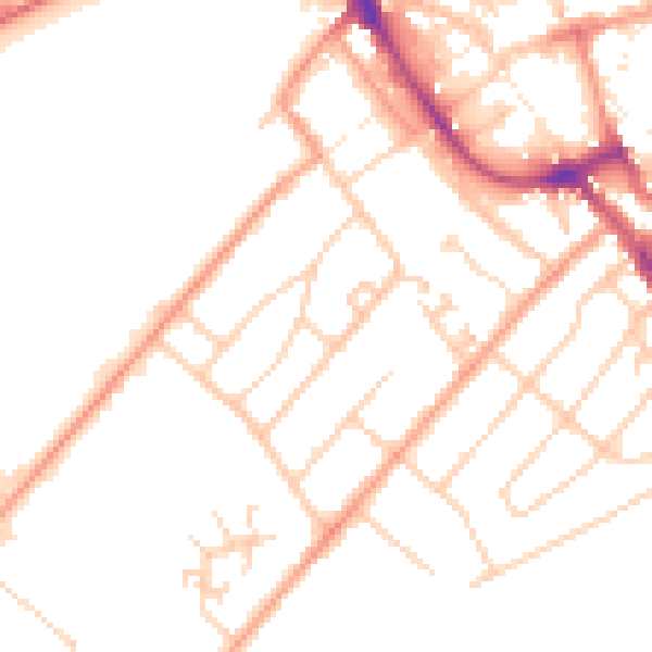
Daytime· 07:00 – 23:00
49.8dB

Night-time· 23:00 – 07:00
39.7dB