9 Bennett Drive, Salford, M7 4BW
About 9 Bennett Drive
9 Bennett Drive is a mid-terrace house in Salford (M7 4BW). It has a recorded floor area of 85 m² (around 915 sq ft), construction records dating it to 1983-1990 and council tax band A. The latest certificate (December 2021) shows a C (score 74). The recommended improvements would push it to B (score 88).
Untraded for 26 years, with the last transfer in June 2000. Across 1996–2000, sale prices on this property compounded at -17.6% per year. Today's modelled estimate of £186,000 sits 1140% above the 2000 sale of £15,000. On a £-per-square-foot basis, the last sale (£16/sq ft) was about 87.8% below the postcode norm. One planning record on file: an extension refused in 2012.
Everything you need to know about 9 Bennett Drive
The true value, the hidden risks and the full sale history, in one report.
30-day money-back guarantee

The data behind every report


Energy performance
EPC Rating
Planning history
- Jul 2012ConservatoryFullIn report
Extension: Rear of property
Erection of a rear conservatory
- Agent
- ATC Construction Design
Extension- Documents
- 5 docs on file
- Reference
- 12/61619/HH
We flagged 1 thing worth checking at 9 Bennett Drive
Independent checks surfaced things a buyer would want to understand before offering. The report explains each one in full, with the underlying data and what to ask.
- Signs of HMO activity in the area
30-day money-back guarantee
Sales history & valuation
Latest sale on 9 Bennett Drive was the lowest on Land Registry record across the postcode.
£186,000
Modelled from EPC, postcode comparables and a sale-price growth of -17.6% per year over 4 years.
£15,000
Growth on file: -17.6% per year over 4 years.
Sales timeline
25 June 2000Most recent
£15,000
-49.9%over 3 years29 November 1996
£29,950
Median price across the last 5 sales in M7 4BW: £158,000 (2022–2016).
Versus other Bennett Drive homes
Price per m² for 9 Bennett Drive lags the street by a wide margin.
Price per m²
£176
Street avg £2,006
Floor Area
85 m²
Street avg 79 m²
Habitable Rooms
4 rooms
Street avg 4 rooms
CO₂ Emissions
2.6 t/year
Street avg 2.4 t/year
Everything you need to know about 9 Bennett Drive
The true value, the hidden risks and the full sale history, in one report.
30-day money-back guarantee
The data behind every report
Similar properties nearby
The neighbourhood at a glance
Crime
1/mo
Steady year-on-year across the wider district.
Nearest stop
0.1 km
Bennett Drive — bus stop.
Closest school
0.3 km
St Thomas of Canterbury RC Primary School. 51 schools nearby.
Go deeper on the local area
The full report breaks down crime, transport links, schools and air quality in depth.
Road noise across the postcode
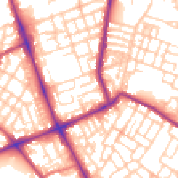
Daytime· 07:00 – 23:00
56.2dB

Night-time· 23:00 – 07:00
45.5dB