2 Bennett Drive, Salford, M7 4BW
About 2 Bennett Drive
2 Bennett Drive is an end-of-terrace house in Salford (M7 4BW). It has a recorded floor area of 76 m² (around 818 sq ft), construction records dating it to 1950-1966 and council tax band A. The latest certificate (February 2016) shows a C (score 70). The recommended improvements would push it to B (score 85). The latest certificate is from February 2016, so improvements made since then won't be reflected.
Sold January 2019 for £168,000. Across the public record there are 4 sales, relatively high churn for a single property. Across 2005–2019, sale prices on this property compounded at 5.9% per year. Today's modelled estimate of £235,000 is 39.9% above the 2019 sale price. On a £-per-square-foot basis, the last sale (£205/sq ft) was about 121.1% above the typical sold price in the postcode.
Everything you need to know about 2 Bennett Drive
The true value, the hidden risks and the full sale history, in one report.
30-day money-back guarantee

The data behind every report


Energy performance
EPC Expired
This certificate is over 10 years old and is no longer valid.Expired 17 Feb 2026
EPC Rating
Planning history
2 Bennett Drive has no planning applications on record.
Notable planning nearby
8applications of note in the surrounding area
We flagged 1 thing worth checking at 2 Bennett Drive
Independent checks surfaced things a buyer would want to understand before offering. The report explains each one in full, with the underlying data and what to ask.
- Signs of HMO activity in the area
30-day money-back guarantee
Sales history & valuation
Sale price has at least doubled since 2005.
£235,000
Modelled from EPC, postcode comparables and a sale-price growth of 5.9% per year over 13 years.
£168,000
Growth on file: 5.9% per year over 13 years.
Sales timeline
23 January 2019Most recent
£168,000
+52.7%over 2 years17 July 2016
£110,000
+22.2%over 10 years14 November 2005
£90,000
+15.4%26 July 2005
£78,000
Median price across the last 5 sales in M7 4BW: £75,000 (2022–1996).
Versus other Bennett Drive homes
On epc rating, 2 Bennett Drive runs well behind the street norm.
Price per m²
£2,211
Street avg £1,497
Floor Area
76 m²
Street avg 79 m²
Habitable Rooms
4 rooms
Street avg 4 rooms
CO₂ Emissions
2.8 t/year
Street avg 2.4 t/year
Everything you need to know about 2 Bennett Drive
The true value, the hidden risks and the full sale history, in one report.
30-day money-back guarantee
The data behind every report
Similar properties nearby
The neighbourhood at a glance
Crime
1/mo
Steady year-on-year across the wider district.
Nearest stop
0.1 km
Bennett Drive — bus stop.
Closest school
0.3 km
St Thomas of Canterbury RC Primary School. 51 schools nearby.
Go deeper on the local area
The full report breaks down crime, transport links, schools and air quality in depth.
Road noise across the postcode
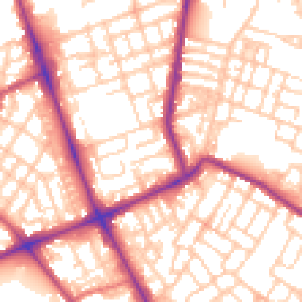
Daytime· 07:00 – 23:00
56.2dB

Night-time· 23:00 – 07:00
45.5dB