Apartment 12, 185 Moorside Road, Urmston, Manchester, M41 5TS
About Apartment 12
Apartment 12 is a mid-terrace house in Urmston, Manchester, Manchester (M41 5TS). It has a recorded floor area of 83 m² (around 893 sq ft) and council tax band D. The latest certificate (November 2017) returns a B (score 82), comfortably above the UK average. Main heating runs on electricity: electricity, unspecified tariff. At 83 m² this is the 43rd smallest of 55 units on EPC record in the building, where floor areas span 35–102 m². The building's EPC ratings span C to B, with this unit at the top.
8 years since the last transfer (March 2018).
Everything you need to know about Apartment 12
The true value, the hidden risks and the full sale history, in one report.
Pick your report · every report is £14.99
One time fee only - money back guarantee

The data behind every report


Energy performance
Apartment 12's carbon output is low for the local stock.
EPC Rating
Get a survey for this property
Level 2 HomeBuyer Report
We've checked 10 risk factors against the available data for this property and believe a Level 2 HomeBuyer Report could be a suitable option for you.
From £545 · Includes VAT
Planning history
Apartment 12 has no planning applications on record.
But the area is active
2 notable applications nearby — larger schemes and conversions that could reshape the street. The report maps them all.
Sales history & valuation
£259,000
Modelled from EPC, postcode comparables.
£269,250
Recorded with HM Land Registry.
Sales timeline
14 March 2018Most recent
£269,250
Median price across the last 5 sales in M41 5TS: £145,000 (2025–2024).
Nearby sales in M41 5TS
Apartment 45, 185 Moorside Road, Urmston, Manchester, M41 5TS
Sold Jun 2025
£145,000Apartment 22, 185 Moorside Road, Urmston, Manchester, M41 5TS
Sold Mar 2025
£140,000Apartment 23, 185 Moorside Road, Urmston, Manchester, M41 5TS
Sold Jan 2025
£155,000Apartment 38, 185 Moorside Road, Urmston, Manchester, M41 5TS
Sold Sept 2024
£270,000Apartment 9, 185 Moorside Road, Urmston, Manchester, M41 5TS
Sold Apr 2024
£135,000
Versus other Moorside Road homes
Apartment 12 outperforms the street on price per m² by a wide margin.
Price per m²
£3,244
Street avg £3,024
Floor Area
83 m²
Street avg 71 m²
CO₂ Emissions
1.4 t/year
Street avg 1.2 t/year
Years Held
8 years
Street avg 7 years
Everything you need to know about Apartment 12
The true value, the hidden risks and the full sale history, in one report.
Pick your report · every report is £14.99
One time fee only - money back guarantee
The data behind every report
Similar properties nearby
Apartment 10, 185 Moorside Road, Urmston
M41 5TS
Apartment 11, 185 Moorside Road, Urmston
M41 5TS
Apartment 16, 185 Moorside Road, Urmston
M41 5TS
Apartment 24, 185 Moorside Road, Urmston
M41 5TS
181a, Flat, Moorside Road, Urmston
M41 5SJ
Apartment 15, 185 Moorside Road, Urmston
M41 5TS
64 66, Flat 1, Flixton Road, Urmston
M41 5AB
64 66, Flat 4, Flixton Road, Urmston
M41 5AB
The neighbourhood at a glance
Rail-style transport is unusually close for this postcode.
Crime
1/mo
Steady year-on-year across the wider district.
Nearest stop
0.1 km
Trafford General Hospital — bus stop.
Closest school
0.2 km
Flixton Girls School. 23 schools nearby.
Go deeper on the local area
A Local Area report breaks down crime, transport links, schools and air quality in depth.
Road noise across the postcode
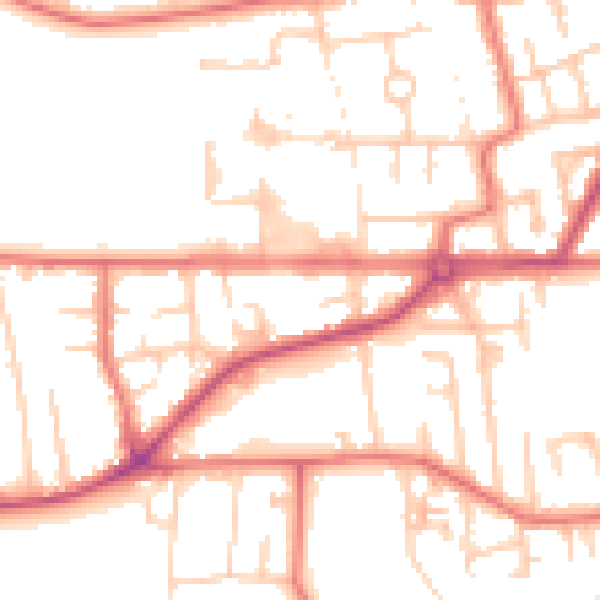
Daytime· 07:00 – 23:00
52.2dB

Night-time· 23:00 – 07:00
41.7dB