15 Wimborne Avenue, Urmston, Manchester, M41 0RT
About 15 Wimborne Avenue
15 Wimborne Avenue is a three-bedroom semi-detached house in Urmston, Manchester, Manchester (M41 0RT). It has a recorded floor area of 81 m² (around 872 sq ft), construction records dating it to 1930-1949 and council tax band C. The latest certificate (September 2022) shows a D (score 65), on the cusp of jumping into the C band. The recommended improvements would push it to C (score 80). Our model identifies extension potential, subject to local planning policy. The home occupies a cul-de-sac position.
Today's modelled estimate of £399,000 is 18.8% above the 2023 sale price. On a £-per-square-foot basis, the last sale (£385/sq ft) was about 78.3% above the typical sold price in the postcode. At 81 m² it's 16.3% smaller than the typical home in the postcode (97 m² median across 8 EPCs). Last sale on file: £336,000 in November 2023.
What this property has
Inside
- Bedrooms3
- Bathrooms1
- Dining roomYes
Outside
- Private gardenRear
- GarageYes
- Cul-de-sacYes
Building
- Extension potentialPossible
Everything you need to know about 15 Wimborne Avenue
The true value, the hidden risks and the full sale history, in one report.
Pick your report · every report is £14.99
One time fee only - money back guarantee

The data behind every report


Energy performance
EPC Rating
Get a survey for this property
Level 2 HomeBuyer Report
We've checked 10 risk factors against the available data for this property and believe a Level 2 HomeBuyer Report could be a suitable option for you.
From £595 · Includes VAT
Planning history
15 Wimborne Avenue has no planning applications on record.
But the area is active
3 notable applications nearby — larger schemes and conversions that could reshape the street. The report maps them all.
Sales history & valuation
15 Wimborne Avenue valuation sits well clear of the typical sold price in this postcode.
£399,000
Modelled from EPC, postcode comparables.
£336,000
Recorded with HM Land Registry.
Sales timeline
10 November 2023Most recent
£336,000
Median price across the last 5 sales in M41 0RT: £319,000 (2022–2015).
Nearby sales in M41 0RT
8 Wimborne Avenue, Urmston, Manchester, M41 0RT
Sold May 2022
£358,50013 Wimborne Avenue, Urmston, Manchester, M41 0RT
Sold Jan 2021
£319,00017 Wimborne Avenue, Urmston, Manchester, M41 0RT
Sold Jun 2019
£450,00014 Wimborne Avenue, Urmston, Manchester, M41 0RT
Sold Apr 2019
£315,00011 Wimborne Avenue, Urmston, Manchester, M41 0RT
Sold Jan 2015
£214,000
Versus other Wimborne Avenue homes
15 Wimborne Avenue outperforms the street on price per m² by a wide margin.
Price per m²
£4,148
Street avg £2,815
Floor Area
81 m²
Street avg 101 m²
Habitable Rooms
5 rooms
Street avg 6 rooms
CO₂ Emissions
3.4 t/year
Street avg 5.4 t/year
Everything you need to know about 15 Wimborne Avenue
The true value, the hidden risks and the full sale history, in one report.
Pick your report · every report is £14.99
One time fee only - money back guarantee
The data behind every report
Similar properties nearby
1 Chislehurst Avenue, Urmston
M41 0SG
1 Dorchester Avenue, Urmston
M41 0QJ
1 Chester Avenue, Urmston
M41 0ZH
1 Hartford Road, Urmston
M41 0RZ
1 Furness Road, Urmston
M41 0UQ
1 Ellaston Drive, Urmston
M41 0XB
1 Derby Road, Urmston
M41 0UF
1 Exeter Road, Urmston
M41 0RF
The neighbourhood at a glance
Crime
1/mo
Steady year-on-year across the wider district.
Nearest stop
0.2 km
Shops — bus stop.
Closest school
0.2 km
Davyhulme Primary School. 28 schools nearby.
Go deeper on the local area
A Local Area report breaks down crime, transport links, schools and air quality in depth.
Road noise across the postcode
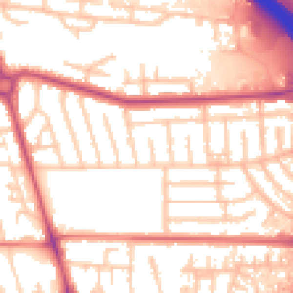
Daytime· 07:00 – 23:00
55.4dB

Night-time· 23:00 – 07:00
47.3dB