24 Whalley Avenue, Urmston, Manchester, M41 0QL
About 24 Whalley Avenue
24 Whalley Avenue is a five-bedroom property in Urmston, Manchester, Manchester (M41 0QL). It has council tax band D. Other recorded features include a conservatory.
Held since September 2004 — that's 22 years off the open market, well above the local norm. 5 bedrooms is on the larger side for this postcode, where 3 is the typical count.
What this property has
Inside
- Bedrooms5
- Dining roomYes
- CloakroomYes
- EnsuiteYes
- ConservatoryYes
Outside
- Private gardenYes
- ParkingOff road
Building
- Heating systemGas
- RefurbishedYes
Everything you need to know about 24 Whalley Avenue
The true value, the hidden risks and the full sale history, in one report.
Pick your report · every report is £14.99
One time fee only - money back guarantee

The data behind every report


Energy performance
No EPC on record
This property doesn't have an Energy Performance Certificate yet. An EPC is required to sell or let — and unlocks our automated valuation.
Get a survey for this property
Level 2 HomeBuyer Report
We've checked 10 risk factors against the available data for this property and believe a Level 2 HomeBuyer Report could be a suitable option for you.
Planning history
24 Whalley Avenue has no planning applications on record.
But the area is active
3 notable applications nearby — larger schemes and conversions that could reshape the street. The report maps them all.
Sales history & valuation
£218,000
Recorded with HM Land Registry.
Sales timeline
23 September 2004Most recent
£218,000
Median price across the last 5 sales in M41 0QL: £285,000 (2024–2019).
Nearby sales in M41 0QL
5 Whalley Avenue, Urmston, Manchester, M41 0QL
Sold May 2024
£345,00023 Whalley Avenue, Urmston, Manchester, M41 0QL
Sold Apr 2024
£274,95027 Whalley Avenue, Urmston, Manchester, M41 0QL
Sold Mar 2022
£380,00031 Whalley Avenue, Urmston, Manchester, M41 0QL
Sold Nov 2021
£285,00018 Whalley Avenue, Urmston, Manchester, M41 0QL
Sold Nov 2018
£320,000
Everything you need to know about 24 Whalley Avenue
The true value, the hidden risks and the full sale history, in one report.
Pick your report · every report is £14.99
One time fee only - money back guarantee
The data behind every report
Similar properties nearby
1 Exeter Road, Urmston
M41 0RF
1 Hartford Road, Urmston
M41 0RZ
1 Chester Avenue, Urmston
M41 0ZH
1 Chislehurst Avenue, Urmston
M41 0SG
1 Dorchester Avenue, Urmston
M41 0QJ
1 Furness Road, Urmston
M41 0UQ
1 Ellaston Drive, Urmston
M41 0XB
1 Cavendish Road, Urmston
M41 0YA
The neighbourhood at a glance
Rail-style transport is unusually close for this postcode.
Crime
1/mo
Steady year-on-year across the wider district.
Nearest stop
0.2 km
Wallingford Road — bus stop.
Closest school
0.3 km
St Hugh of Lincoln RC Primary School. 29 schools nearby.
Go deeper on the local area
A Local Area report breaks down crime, transport links, schools and air quality in depth.
Road noise across the postcode
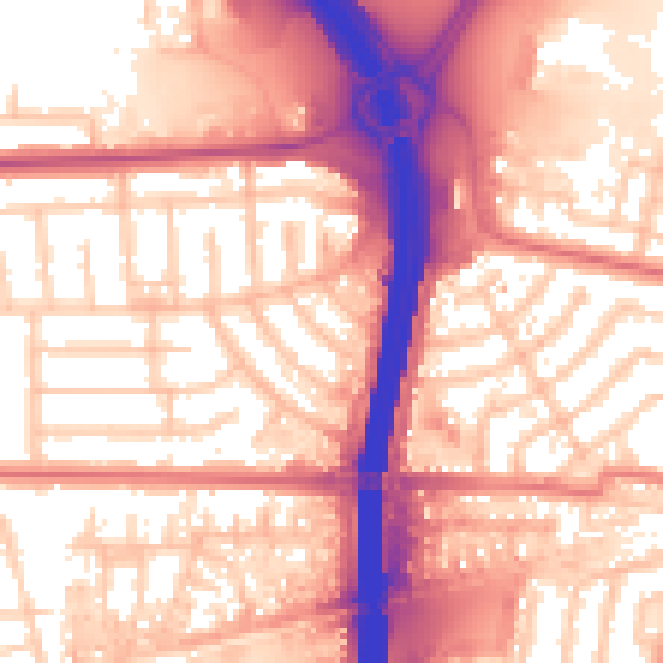
Daytime· 07:00 – 23:00
58.9dB

Night-time· 23:00 – 07:00
50.8dB