Rowan House, Apartment 9, 4 Tyne Court, Worsley, Manchester, M28 0AA
About Rowan House
Rowan House is an end-of-terrace house in Worsley, Manchester, Manchester (M28 0AA). It has a recorded floor area of 47 m² (around 506 sq ft) and construction records dating it to 2012 onwards. At 47 m² this is the smallest unit on EPC record across Rowan House (47–65 m²). On EPC score it ranks last in the building (81 versus a best of 85). The latest certificate (March 2023) returns a B (score 81), comfortably above the UK average. The rating has held steady at B across 2 certificates since July 2019. Between certificates, roof efficiency dropped from Very Good to Good and window efficiency dropped from Very Good to Good.
At 47 m² it's 27.7% smaller than the typical home in the postcode (65 m² median across 35 EPCs).
Everything you need to know about Rowan House
The true value, the hidden risks and the full sale history, in one report.
Pick your report · every report is £14.99
One time fee only - money back guarantee

The data behind every report


Energy performance
Rowan House's carbon output is low for the local stock.
EPC Rating
Get a survey for this property
Level 2 HomeBuyer Report
We've checked 10 risk factors against the available data for this property and believe a Level 2 HomeBuyer Report could be a suitable option for you.
From £495 · Includes VAT
Planning history
Rowan House has no planning applications on record.
But the area is active
5 notable applications nearby — larger schemes and conversions that could reshape the street. The report maps them all.
Sales history & valuation
Rowan House has no Land Registry sales on file, suggesting it has stayed in the same hands since registration began.
£171,000
Modelled from EPC, postcode comparables.
No sales recorded with HM Land Registry
That can mean the property has never traded since the registry began publishing in 1995, was a new build that hasn't been registered yet, or is held in the same hands long-term.
Versus other Tyne Court homes
EPC Rating for Rowan House lags the street by a wide margin.
EPC Rating
81 (B)
Street avg 83 (B)
Floor Area
47 m²
Street avg 56 m²
CO₂ Emissions
1.0 t/year
Street avg 1.0 t/year
Habitable Rooms
2 rooms
Street avg 3 rooms
Everything you need to know about Rowan House
The true value, the hidden risks and the full sale history, in one report.
Pick your report · every report is £14.99
One time fee only - money back guarantee
The data behind every report
Similar properties nearby
Rowan House, Apartment 1, 4 Tyne Court, Worsley
M28 0AA
Rowan House, Apartment 17, 4 Tyne Court, Worsley
M28 0AA
Rowan House, Apartment 10, 4 Tyne Court, Worsley
M28 0AA
Rowan House, Apartment 11, 4 Tyne Court, Worsley
M28 0AA
Rowan House, Apartment 12, 4 Tyne Court, Worsley
M28 0AA
Rowan House, Apartment 16, 4 Tyne Court, Worsley
M28 0AA
Prescott Court, Flat 4, 1 Prescott Street, Worsley
M28 0ZA
Rowan House, Apartment 14, 4 Tyne Court, Worsley
M28 0AA
The neighbourhood at a glance
Nearest stop
0.0 km
Tynesbank — bus stop.
Closest school
0.5 km
St Edmund's RC Primary School. 37 schools nearby.
Go deeper on the local area
A Local Area report breaks down crime, transport links, schools and air quality in depth.
Road noise across the postcode
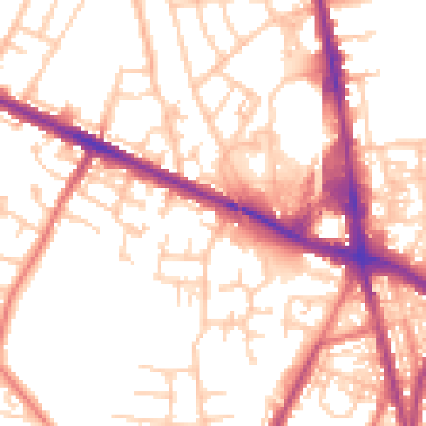
Daytime· 07:00 – 23:00
54.1dB

Night-time· 23:00 – 07:00
44.8dB