1 Alkrington Park Road, Middleton, Manchester, M24 4FA
About 1 Alkrington Park Road
1 Alkrington Park Road is a three-bedroom semi-detached house in Middleton, Manchester, Manchester (M24 4FA). It has a recorded floor area of 82 m² (around 883 sq ft), construction records dating it to 1930-1949 and council tax band C. The latest certificate (February 2016) shows a C (score 70). The recommended improvements would push it to B (score 85). The latest certificate is from February 2016, so improvements made since then won't be reflected. Other recorded features include notable views. Records show the property has been extended at some point in its history.
Across 2000–2016, sale prices on this property compounded at 6.5% per year. Today's modelled estimate of £288,000 sits 85.8% above the 2016 sale of £155,000. Last changed hands 10 years ago, in April 2016.
What this property has
Inside
- Bedrooms3
- Bathrooms1
Outside
- Notable viewsYes
Building
- Previously extendedYes
- RefurbishedYes
Everything you need to know about 1 Alkrington Park Road
The true value, the hidden risks and the full sale history, in one report.
Pick your report · every report is £14.99
One time fee only - money back guarantee

The data behind every report


Energy performance
EPC Expired
This certificate is over 10 years old and is no longer valid.Expired 23 Feb 2026
EPC Rating
Get a survey for this property
Level 2 HomeBuyer Report
We've checked 10 risk factors against the available data for this property and believe a Level 2 HomeBuyer Report could be a suitable option for you.
From £545 · Includes VAT
Planning history
1 Alkrington Park Road has no planning applications on record.
But the area is active
2 notable applications nearby — larger schemes and conversions that could reshape the street. The report maps them all.
Sales history & valuation
Sale price has at least doubled since 2000.
£288,000
Modelled from EPC, postcode comparables and a sale-price growth of 6.5% per year over 16 years.
£155,000
Growth on file: 6.5% per year over 16 years.
Sales timeline
26 April 2016Most recent
£155,000
-9.9%over 8 years2 July 2007
£172,000
+207.1%over 7 years30 March 2000
£56,000
Median price across the last 4 sales in M24 4FA: £100,998 (2019–1997).
Everything you need to know about 1 Alkrington Park Road
The true value, the hidden risks and the full sale history, in one report.
Pick your report · every report is £14.99
One time fee only - money back guarantee
The data behind every report
Similar properties nearby
1 Cotton Lane, Middleton
M24 4TE
1 Boardale Drive, Middleton
M24 4FU
1 Broad Street, Middleton
M24 4PQ
1 Armitage Close, Middleton
M24 4PA
1 Alston Walk, Middleton
M24 4LL
1 Brandlehow Drive, Middleton
M24 4QY
1 Castlerigg Drive, Middleton
M24 4LY
1 Dean Walk, Middleton
M24 4JB
The neighbourhood at a glance
Crime
1/mo
Steady year-on-year across the wider district.
Nearest stop
0.2 km
Limefield Park — bus stop.
Closest school
0.6 km
Parkfield Primary School. 32 schools nearby.
Go deeper on the local area
A Local Area report breaks down crime, transport links, schools and air quality in depth.
Road noise across the postcode
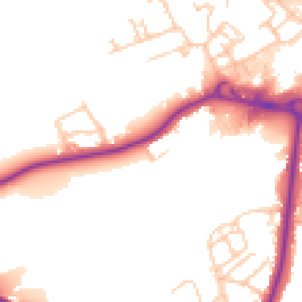
Daytime· 07:00 – 23:00
51.8dB

Night-time· 23:00 – 07:00
44.1dB